How to get to Boost Mobile Premier Store by bus?
Click on the bus route to see step by step directions with maps, line arrival times and updated time schedules.
From Walmart Supercenter, Baltimore County
63 minFrom Guinness Open Gate Brewery & Barrel House, Baltimore County
89 minFrom Maryland Live! Casino, Anne Arundel County
112 minFrom Pasadena, Maryland, Anne Arundel County
24 minFrom NSA Friendship Annex (FANX), Anne Arundel County
95 minFrom Walmart, Baltimore County
63 minFrom Nick's Fish House, Baltimore
45 minFrom MD Live Casino Arundel Mills, Anne Arundel County
108 minFrom Medstar Harbor Hospital, Baltimore
42 min
Light Rail stations near Boost Mobile Premier Store in Anne Arundel County
- Ferndale, 1 min walk,VIEW
Bus stop near Boost Mobile Premier Store in Anne Arundel County
- Crain Hwy & Post 40 Road Nb, 10 min walk,VIEW
Bus lines to Boost Mobile Premier Store in Anne Arundel County
What are the closest stations to Boost Mobile Premier Store?
The closest stations to Boost Mobile Premier Store are:
- Ferndale is 83 yards away, 1 min walk.
- Crain Hwy & Post 40 Road Nb is 828 yards away, 10 min walk.
Which bus lines stop near Boost Mobile Premier Store?
These bus lines stop near Boost Mobile Premier Store: 69, 70.
What’s the nearest light rail station to Boost Mobile Premier Store in Anne Arundel County?
The nearest light rail station to Boost Mobile Premier Store in Anne Arundel County is Ferndale. It’s a 1 min walk away.
What’s the nearest bus station to Boost Mobile Premier Store in Anne Arundel County?
The nearest bus station to Boost Mobile Premier Store in Anne Arundel County is Crain Hwy & Post 40 Road Nb. It’s a 10 min walk away.
What time is the first light rail to Boost Mobile Premier Store in Anne Arundel County?
The LIGHT RAILLINK is the first light rail that goes to Boost Mobile Premier Store in Anne Arundel County. It stops nearby at 4:32 AM.
What time is the last light rail to Boost Mobile Premier Store in Anne Arundel County?
The LIGHT RAILLINK is the last light rail that goes to Boost Mobile Premier Store in Anne Arundel County. It stops nearby at 12:30 AM.
What time is the first bus to Boost Mobile Premier Store in Anne Arundel County?
The 69 is the first bus that goes to Boost Mobile Premier Store in Anne Arundel County. It stops nearby at 4:55 AM.
What time is the last bus to Boost Mobile Premier Store in Anne Arundel County?
The 69 is the last bus that goes to Boost Mobile Premier Store in Anne Arundel County. It stops nearby at 2:57 AM.
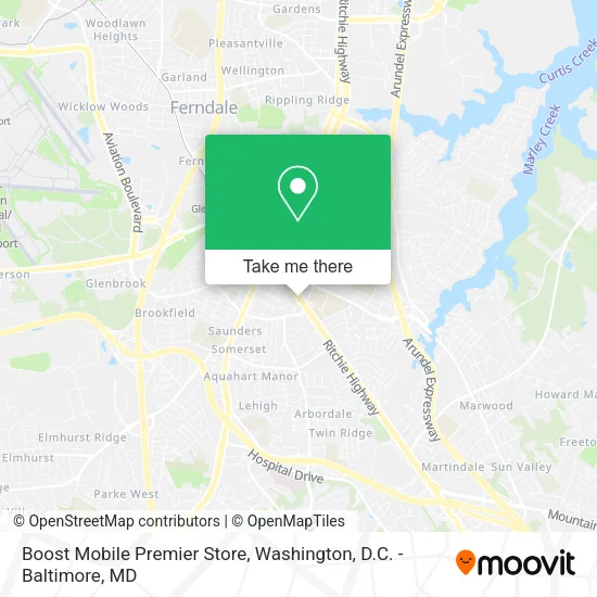
See Boost Mobile Premier Store, Anne Arundel County, on the map
Public Transit to Boost Mobile Premier Store in Anne Arundel County
Wondering how to get to Boost Mobile Premier Store in Anne Arundel County? Moovit helps you find the best way to get to Boost Mobile Premier Store with step-by-step directions from the nearest public transit station.
Moovit provides free maps and live directions to help you navigate through your city. View schedules, routes, timetables, and find out how long does it take to get to Boost Mobile Premier Store in real time.
Looking for the nearest stop or station to Boost Mobile Premier Store? Check out this list of stops closest to your destination: Ferndale; Crain Hwy & Post 40 Road Nb.
Bus: 69, 70.
Want to see if there’s another route that gets you there at an earlier time? Moovit helps you find alternative routes or times. Get directions from and directions to Boost Mobile Premier Store easily from the Moovit App or Website.
We make riding to Boost Mobile Premier Store easy, which is why over 1.5 million users, including users in Anne Arundel County, trust Moovit as the best app for public transit. You don’t need to download an individual bus app or train app, Moovit is your all-in-one transit app that helps you find the best bus time or train time available.
For information on prices of bus, light rail and train, costs and ride fares to Boost Mobile Premier Store, please check the Moovit app.
Use the app to navigate to popular places including to the airport, hospital, stadium, grocery store, mall, coffee shop, school, college, and university.
Boost Mobile Premier Store Address: 7564 Ritchie Hwy Glen Burnie, MD 21061 street in Anne Arundel County
- WESTERN UNION,
- Eventos Decoraciones y Variedades,
- La Joya,
- Ka Ming Food House,
- Tate Automotive Group,
- Monro Auto Service and Tire Centers,
- Clothing Mart,
- AJ's Lawn Service,
- Simply Suga',
- Ultimate Jewelry,
- Football Shop (Basketball Shop),
- The Tastee Spoon,
- USPS Collection Box - Blue Box,
- Christy's Latin Bakery & Cafe ,
- La Divina Providencia,
- MoneyGram,
- NGBS Green Certification Plaques,
- metroPCS,
- metroPCS Glenburnie,
- Lafontaine Bleu Bistro
Places Near Boost Mobile Premier Store (Anne Arundel County)
- Pennsylvania Ave NW (3rd st and pennsylvania), Washington,
- National Mall, Washington,
- Georgetown, Washington,
- PG Mall, Prince George's County,
- Museum Of The Bible, Washington,
- Westfield Montgomery Mall, Montgomery County,
- Washington National Cathedral, Washington,
- Rock Creek Tennis Center, Washington,
- Capital One Arena, Washington,
- Marriott Marquis Washington, DC, Washington,
- Washington DC VA Medical Center, Washington,
- Warner Theatre, Washington,
- Camden Yards, Baltimore,
- Basilica of the National Shrine, Washington,
- Amazon Hq2, Arlington County,
- Sibley Memorial Hospital, Washington,
- National Museum of African American History and Culture, Washington,
- The Anthem, Washington,
- National Zoo, Washington,
- M&T Bank Stadium, Baltimore
How to get to popular places in Washington, D.C. - Baltimore, MD with public transit
Get around Anne Arundel County by public transit!
Traveling around Anne Arundel County has never been so easy. See step by step directions as you travel to any attraction, street or major public transit station. View bus and train schedules, arrival times, service alerts and detailed routes on a map, so you know exactly how to get to anywhere in Anne Arundel County.
When traveling to any destination around Anne Arundel County use Moovit's Live Directions with Get Off Notifications to know exactly where and how far to walk, how long to wait for your line, and how many stops are left. Moovit will alert you when it's time to get off — no need to constantly re-check whether yours is the next stop.
Wondering how to use public transit in Anne Arundel County or how to pay for public transit in Anne Arundel County? Moovit public transit app can help you navigate your way with public transit easily, and at minimum cost. It includes public transit fees, ticket prices, and costs. Looking for a map of Anne Arundel County public transit lines? Moovit public transit app shows all public transit maps in Anne Arundel County with all Bus, Train, Metro, Light Rail and Ferry routes and stops on an interactive map.
Washington, D.C. - Baltimore, MD has 5 transit type(s), including: Bus, Train, Metro, Light Rail and Ferry, operated by several transit agencies, including WMATA, Montgomery County Ride On, Fairfax Connector, TheBus, PRTC, DASH - Alexandria, Arlington Transit (ART), RTA of Central Maryland, MDOT MTA, MDOT MTA Light RailLink, MDOT MTA Commuter Bus, MDOT MTA Local Bus, FXBGO!, Virginia Railway Express (VRE) and MARC