How to get to Borluv Developments by bus?
Click on the bus route to see step by step directions with maps, line arrival times and updated time schedules.
From Florida Lottery District Office-Miami, Hialeah
132 minFrom Flamingo Parking Garage, Miami
96 minFrom Hialeah-Miami Lakes Senior High School, Hialeah
166 minFrom SW 8th St / SW 62nd Ave, Miami
73 minFrom Red Coach, Miami
96 minFrom Hialeah, FL, Hialeah
136 minFrom Westland Mall, Hialeah
120 minFrom HIALEAH FLAMINGO NORTH ROUTE, North Westside
95 minFrom SW 137 Ave. & SW 8 St., Kendale Lakes-Tamiami
72 minFrom Social Security Administration Office Hialeah Branch, Hialeah
120 min
Bus stops near Borluv Developments in North Westside
Bus lines to Borluv Developments in North Westside
What are the closest stations to Borluv Developments?
The closest stations to Borluv Developments are:
- Nw 107th Ave @ Nw 51st St is 631 yards away, 8 min walk.
- Costa Linda is 699 yards away, 9 min walk.
- Doral Isles Plaza (Publix) Nw 107 Ave@nw 58 St is 954 yards away, 12 min walk.
Which bus lines stop near Borluv Developments?
These bus lines stop near Borluv Developments: 87, DLOOP3, DLOOP4.
What’s the nearest bus station to Borluv Developments in North Westside?
The nearest bus station to Borluv Developments in North Westside is Nw 107th Ave @ Nw 51st St. It’s a 8 min walk away.
What time is the first bus to Borluv Developments in North Westside?
The DLOOP3 is the first bus that goes to Borluv Developments in North Westside. It stops nearby at 6:07 AM.
What time is the last bus to Borluv Developments in North Westside?
The DLOOP4 is the last bus that goes to Borluv Developments in North Westside. It stops nearby at 10:47 PM.
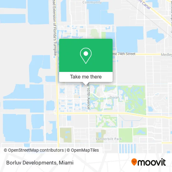
See Borluv Developments, North Westside, on the map
Public Transit to Borluv Developments in North Westside
Wondering how to get to Borluv Developments in North Westside? Moovit helps you find the best way to get to Borluv Developments with step-by-step directions from the nearest public transit station.
Moovit provides free maps and live directions to help you navigate through your city. View schedules, routes, timetables, and find out how long does it take to get to Borluv Developments in real time.
Looking for the nearest stop or station to Borluv Developments? Check out this list of stops closest to your destination: Nw 107th Ave @ Nw 51st St; Costa Linda; Doral Isles Plaza (Publix) Nw 107 Ave@nw 58 St.
Bus: 87, DLOOP3, DLOOP4, DLOOP1.
Want to see if there’s another route that gets you there at an earlier time? Moovit helps you find alternative routes or times. Get directions from and directions to Borluv Developments easily from the Moovit App or Website.
We make riding to Borluv Developments easy, which is why over 1.5 million users, including users in North Westside, trust Moovit as the best app for public transit. You don’t need to download an individual bus app or train app, Moovit is your all-in-one transit app that helps you find the best bus time or train time available.
For information on prices of bus and train, costs and ride fares to Borluv Developments, please check the Moovit app.
Use the app to navigate to popular places including to the airport, hospital, stadium, grocery store, mall, coffee shop, school, college, and university.
Borluv Developments Address: 10726 NW 58th St Miami, FL 33178 street in North Westside
- Giselt Lorena Garcia PA, realtor / Agente Inmobiliario,
- RE/MAX,
- The Fireworks Lady & Co. : Delia Plaza - Doral,
- Party King Miami,
- Doral Yoga Center,
- Wings Educational Serv,
- Pro Cycle,
- Pipo Burgers,
- Luis Gonzalez - State Farm Insurance Agent,
- Find Chiropractic Adjustment Near Me,
- Pack & Ship Guarantee,
- Silvher Consulting Contracting,
- Kareli,
- Cucayo,
- Healthy Options Corner,
- Presto! ATM,
- Doral Associates Realty,
- Stretchlab,
- MCM in the Gables Properties,
- 10785 NW 58 St Parking
Places Near Borluv Developments (North Westside)
- Bayside Marketplace, Miami,
- Miami Freedom Park, Miami,
- Miami-Dade County Courthouse, Miami,
- Sawgrass mall ( FL ), Miami Beach,
- Aventura Mall, Miami,
- Port of Miami Cruise Terminal, Miami,
- Miami Design District, Miami,
- Brickell City Centre, Miami,
- Hard Rock Stadium, Miami Gardens,
- Miami VA Hospital, Miami,
- Richard E. Gerstein Justice Building, Miami,
- Dolphin Mall Bus, Miami,
- Sawgrass Mall, Miami,
- Zoo Miami, Miami,
- Dolphin Mall, Miami,
- Wynwood, Miami,
- Little Havana, Miami,
- Marlins Park, Miami,
- Aventura Mall, Miami Beach,
- Keiser University Flagship Campus, West Palm Beach
How to get to popular places in Miami with public transit
Get around North Westside by public transit!
Traveling around North Westside has never been so easy. See step by step directions as you travel to any attraction, street or major public transit station. View bus and train schedules, arrival times, service alerts and detailed routes on a map, so you know exactly how to get to anywhere in North Westside.
When traveling to any destination around North Westside use Moovit's Live Directions with Get Off Notifications to know exactly where and how far to walk, how long to wait for your line, and how many stops are left. Moovit will alert you when it's time to get off — no need to constantly re-check whether yours is the next stop.
Wondering how to use public transit in North Westside or how to pay for public transit in North Westside? Moovit public transit app can help you navigate your way with public transit easily, and at minimum cost. It includes public transit fees, ticket prices, and costs. Looking for a map of North Westside public transit lines? Moovit public transit app shows all public transit maps in North Westside with all Bus, Train, Light Rail and Ferry routes and stops on an interactive map.
Miami has 4 transit type(s), including: Bus, Train, Light Rail and Ferry, operated by several transit agencies, including Broward County Transit, Miami-Dade Transit, Metrorail, Palm Tran, Tri-Rail, Brightline, MARTY, City of Homestead Trolley, Key West Transit, Treasure Coast Connector, GoLine IRT, Amtrak, Greyhound-us, FlixBus-us and Aventura Express Shuttle Bus