Boston Rd @ Bronxwood Ave stop - Saturday schedule
| Line | Direction | Time |
|---|---|---|
| 60 | White Plains Bus Terminal Lane B | 6:47 AM |
| 60 | White Plains Bus Terminal Lane B | 7:19 AM |
| 60 | White Plains Bus Terminal Lane B | 7:49 AM |
| 60 | White Plains Bus Terminal Lane B | 8:19 AM |
| 60 | White Plains Bus Terminal Lane B | 8:49 AM |
| 60 | White Plains Bus Terminal Lane B | 9:19 AM |
| 60 | White Plains Bus Terminal Lane B | 9:49 AM |
| 60 | White Plains Bus Terminal Lane B | 10:18 AM |
| 60 | White Plains Bus Terminal Lane B | 10:53 AM |
| 60 | White Plains Bus Terminal Lane B | 11:23 AM |
| 61 | Willet Ave @ Putnam Ave | 11:38 AM |
| 60 | White Plains Bus Terminal Lane B | 11:53 AM |
| 60 | White Plains Bus Terminal Lane B | 12:23 PM |
| 61 | Willet Ave @ Putnam Ave | 12:38 PM |
| 60 | White Plains Bus Terminal Lane B | 12:53 PM |
| 60 | White Plains Bus Terminal Lane B | 1:23 PM |
| 61 | Willet Ave @ Putnam Ave | 1:38 PM |
| 60 | White Plains Bus Terminal Lane B | 1:53 PM |
| 60 | White Plains Bus Terminal Lane B | 2:23 PM |
| 61 | Willet Ave @ Putnam Ave | 2:38 PM |
| 60 | White Plains Bus Terminal Lane B | 2:53 PM |
| 60 | White Plains Bus Terminal Lane B | 3:24 PM |
| 61 | Willet Ave @ Putnam Ave | 3:39 PM |
| 60 | White Plains Bus Terminal Lane B | 3:54 PM |
| 60 | White Plains Bus Terminal Lane B | 4:24 PM |
Directions to Boston Rd @ Bronxwood Ave stop with public transit
The following transit lines have routes that pass near Boston Rd @ Bronxwood Ave
 Bus: 60, 61, BX12-SBS, BX26, BX8.
- Train: HARLEM.
- Subway: 2, 5.
How to get to Boston Rd @ Bronxwood Ave stop by bus?
Click on the bus route to see step by step directions with maps, line arrival times and updated time schedules.
How to get to Boston Rd @ Bronxwood Ave stop by train?
Click on the train route to see step by step directions with maps, line arrival times and updated time schedules.
How to get to Boston Rd @ Bronxwood Ave stop by subway?
Click on the subway route to see step by step directions with maps, line arrival times and updated time schedules.
Bus stops near Boston Rd @ Bronxwood Ave stop
- Boston Rd @ Matthews Ave, 1 min walk,
- Boston Rd/Bronxwood Av, 2 min walk,
- Allerton Av/Matthews Av, 2 min walk,
- Williamsbridge Rd/Boston Rd, 3 min walk,
Subway stations near Boston Rd @ Bronxwood Ave station
- Allerton Av, 7 min walk,
Bus lines to Boston Rd @ Bronxwood Ave stop
- 60, White Plains Bus Terminal Lane B,
- 61, Larchmont,
- 62, N Broadway @ Main St,
- BX30, Co-Op City Earhart La Via Boston Rd,
- BX25, Bedford Park Lehman College Via Allerton,
- BX26, Co-Op City Earhart Lane Via Allerton Av,
- BX8, Williamsbridge 225 St,
What are the closest stations to Boston Rd @ Bronxwood Ave?
The closest stations to Boston Rd @ Bronxwood Ave are:
- Boston Rd @ Matthews Ave is 62 yards away, 1 min walk.
- Boston Rd/Bronxwood Av is 84 yards away, 2 min walk.
- Allerton Av/Matthews Av is 105 yards away, 2 min walk.
- Williamsbridge Rd/Boston Rd is 177 yards away, 3 min walk.
- Allerton Av is 511 yards away, 7 min walk.
Which bus lines stop near Boston Rd @ Bronxwood Ave?
These bus lines stop near Boston Rd @ Bronxwood Ave: 60, 61, BX12-SBS, BX26, BX8.
Which train line stops near Boston Rd @ Bronxwood Ave?
HARLEM (Northbound)
Which subway line stops near Boston Rd @ Bronxwood Ave?
2 (Uptown & The Bronx)
What’s the nearest subway station to Boston Rd @ Bronxwood Ave?
The nearest subway station to Boston Rd @ Bronxwood Ave is Allerton Av. It’s a 7 min walk away.
What’s the nearest bus station to Boston Rd @ Bronxwood Ave?
The nearest bus station to Boston Rd @ Bronxwood Ave is Boston Rd @ Matthews Ave. It’s a 1 min walk away.
What time is the first subway to Boston Rd @ Bronxwood Ave?
The 2 is the first subway that goes to Boston Rd @ Bronxwood Ave. It stops nearby at 3:02 AM.
What time is the last subway to Boston Rd @ Bronxwood Ave?
The 2 is the last subway that goes to Boston Rd @ Bronxwood Ave. It stops nearby at 4:26 AM.
What time is the first bus to Boston Rd @ Bronxwood Ave?
The BX8 is the first bus that goes to Boston Rd @ Bronxwood Ave. It stops nearby at 5:43 AM.
What time is the last bus to Boston Rd @ Bronxwood Ave?
The BX30 is the last bus that goes to Boston Rd @ Bronxwood Ave. It stops nearby at 12:14 AM.
Boston Rd @ Bronxwood Ave station
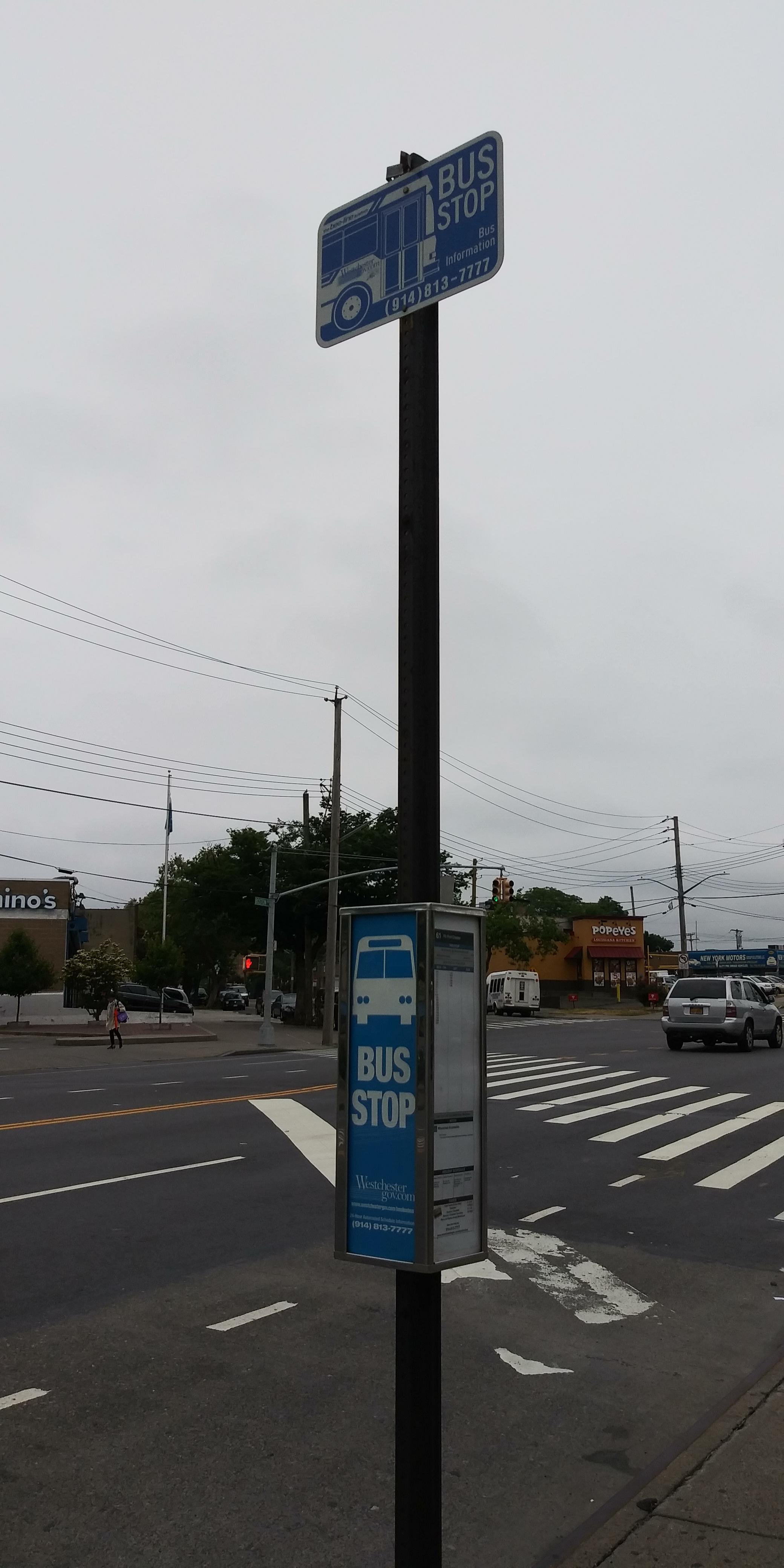 Taken by Grisel R.
See Boston Rd @ Bronxwood Ave stop on the map
Public transit to Boston Rd @ Bronxwood Ave stop (ID: 2643)
Looking for directions to Boston Rd @ Bronxwood Ave in Bronx, United States?
Download the Moovit App to find the current schedule and step-by-step directions for Bus, Subway or Train routes that pass through Boston Rd @ Bronxwood Ave.
Looking for the nearest stops closest to Boston Rd @ Bronxwood Ave ? Check out this list of closest stops to your destination: Boston Rd @ Matthews Ave; Boston Rd/Bronxwood Av; Allerton Av/Matthews Av; Williamsbridge Rd/Boston Rd; Allerton Av.
Bus: 60, 61, BX12-SBS, BX26, BX8, 62, BX30, BX25.Train: HARLEM.Subway: 2, 5.
We make riding on public transit to Boston Rd @ Bronxwood Ave easy, which is why over 1.5 million users, including users in Bronx trust Moovit as the best app for public transit.
Use the app to navigate to popular places including to the airport, hospital, stadium, grocery store, mall, coffee shop, school, college, and university.
Boston Rd @ Bronxwood Ave stop’s code is 2643
The first line to this stop is 60, at 6:47 AM, and the last line is 60 at 9:12 PM.
824 Allerton Avenue, The Bronx, New York, NY, USA
This stop serves Bee-Line Bus’s lines
- Boston Rd @ Matthews Ave,
- Boston Rd/Bronxwood Av,
- Allerton Av/Matthews Av,
- Williamsbridge Rd/Boston Rd
Bus stops near Boston Rd @ Bronxwood Ave stop
- Allerton Av
Subway station near Boston Rd @ Bronxwood Ave station
- Fleetwood,
- Bergenline Ave at 53rd St,
- Garfield Avenue Light Rail Station,
- Canal St,
- Us-46 at Industrial Ave/Holister Rd,
- Decatur St/Central Av,
- 5 Av/W 41 St,
- Fort Hamilton Pkwy,
- Sutter Av-Rutland Rd,
- Adams St/Brooklyn Supreme Court,
- Old Greenwich,
- 4 Av-9 St,
- Rector St,
- Lexington Av/E 70 St,
- Shepherd Av,
- Broadway/Leonard St,
- Riverview Dr at Rt 46,
- Avenue H,
- Port Jervis,
- Hempstead Tp / Elmont
Popular public transit stations in Bronx
Get around Bronx by public transit!
Traveling around Bronx has never been so easy. See step by step directions as you travel to any attraction, street or major public transit station. View bus and train schedules, arrival times, service alerts and detailed routes on a map, so you know exactly how to get to anywhere in Bronx.
When traveling to any destination around Bronx use Moovit's Live Directions with Get Off Notifications to know exactly where and how far to walk, how long to wait for your line, and how many stops are left. Moovit will alert you when it's time to get off — no need to constantly re-check whether yours is the next stop.
Wondering how to use public transit in Bronx or how to pay for public transit in Bronx? Moovit public transit app can help you navigate your way with public transit easily, and at minimum cost. It includes public transit fees, ticket prices, and costs. Looking for a map of Bronx public transit lines? Moovit public transit app shows all public transit maps in Bronx with all Bus, Train, Subway, Light Rail, Ferry and Cable Car routes and stops on an interactive map.
New York - New Jersey has 6 transit type(s), including: Bus, Train, Subway, Light Rail, Ferry and Cable Car, operated by several transit agencies, including MTA Subway, Metro-North Railroad, LIRR, PATH, MTA New York City Transit - Express routes, MTA Bus, NJ Transit, NYC Ferry, NICE bus, Bee-Line Bus, NJ Transit Rail, Norwalk Transit District, CTTransit - Waterbury, Hartford Line and River Valley Transit