Boston St @ W Howell St stop - Thursday schedule
| Line | Direction | Time |
|---|---|---|
| 16 | Forest Hills | 5:04 AM |
| 16 | Forest Hills | 5:14 AM |
| 17 | Fields Corner | 5:16 AM |
| 16 | Forest Hills | 5:24 AM |
| 17 | Fields Corner | 5:36 AM |
| 17 | Fields Corner | 5:56 AM |
| 16 | Forest Hills | 6:11 AM |
| 16 | Forest Hills | 6:20 AM |
| 17 | Fields Corner | 6:21 AM |
| 16 | Forest Hills | 6:24 AM |
| 16 | Forest Hills | 6:36 AM |
| 17 | Fields Corner | 6:46 AM |
| 16 | Forest Hills | 6:50 AM |
| 17 | Fields Corner | 7:11 AM |
| 17 | Fields Corner | 7:36 AM |
| 17 | Fields Corner | 8:01 AM |
| 17 | Fields Corner | 8:26 AM |
| 17 | Fields Corner | 8:56 AM |
| 17 | Fields Corner | 9:26 AM |
| 17 | Fields Corner | 9:56 AM |
| 17 | Fields Corner | 10:26 AM |
| 17 | Fields Corner | 10:56 AM |
| 17 | Fields Corner | 11:26 AM |
| 17 | Fields Corner | 11:56 AM |
| 17 | Fields Corner | 12:26 PM |
Directions to Boston St @ W Howell St stop with public transit
The following transit lines have routes that pass near Boston St @ W Howell St
 Bus: 10, 11, 17, 8, 16.
- Train: FAIRMOUNT, FRANKLIN/FOXBORO, PROVIDENCE/STOUGHTON, FALL RIVER/NEW BEDFORD, GREENBUSH.
- Subway: RED LINE.
How to get to Boston St @ W Howell St stop by bus?
Click on the bus route to see step by step directions with maps, line arrival times and updated time schedules.
How to get to Boston St @ W Howell St stop by subway?
Click on the subway route to see step by step directions with maps, line arrival times and updated time schedules.
Bus stops near Boston St @ W Howell St stop
- Boston St Opp Washburn St, 2 min walk,
- Dorchester Ave Opp Howell St, 4 min walk,
- South Bay Mall @ Allstate Rd, 5 min walk,
Train stations near Boston St @ W Howell St station
- Newmarket, 9 min walk,
- Jfk/Umass, 10 min walk,
Bus lines to Boston St @ W Howell St stop
- 16, Harbor Point Via South Bay Center,
- 17, Andrew,
- 18, Andrew,
- 8, Harbor Point Via South Bay Center,
- 10, Arlington Via South Bay Center,
What are the closest stations to Boston St @ W Howell St?
The closest stations to Boston St @ W Howell St are:
- Boston St Opp Washburn St stop is 84 yards away, 2 min walk.
- Dorchester Ave Opp Howell St stop is 262 yards away, 4 min walk.
- South Bay Mall @ Allstate Rd stop is 358 yards away, 5 min walk.
- Newmarket station is 722 yards away, 9 min walk.
- Jfk/Umass station is 866 yards away, 10 min walk.
Which bus lines stop near Boston St @ W Howell St?
These bus lines stop near Boston St @ W Howell St: 10, 11, 17, 8.
Which subway line stops near Boston St @ W Howell St?
RED LINE (Ashmont/Braintree)
What’s the nearest train station to Boston St @ W Howell St?
The nearest train station to Boston St @ W Howell St is Newmarket. It’s a 9 min walk away.
What’s the nearest bus station to Boston St @ W Howell St?
The nearest bus station to Boston St @ W Howell St is Boston St Opp Washburn St. It’s a 2 min walk away.
What time is the first subway to Boston St @ W Howell St?
The RED LINE is the first subway that goes to Boston St @ W Howell St. It stops nearby at 5:21 AM.
What time is the last subway to Boston St @ W Howell St?
The RED LINE is the last subway that goes to Boston St @ W Howell St. It stops nearby at 12:58 AM.
What time is the first train to Boston St @ W Howell St?
The FAIRMOUNT is the first train that goes to Boston St @ W Howell St. It stops nearby at 5:02 AM.
What time is the last train to Boston St @ W Howell St?
The FRANKLIN/FOXBORO is the last train that goes to Boston St @ W Howell St. It stops nearby at 12:05 AM.
What time is the first bus to Boston St @ W Howell St?
The 16 is the first bus that goes to Boston St @ W Howell St. It stops nearby at 4:34 AM.
What time is the last bus to Boston St @ W Howell St?
The 16 is the last bus that goes to Boston St @ W Howell St. It stops nearby at 1:54 AM.
Boston St @ W Howell St station
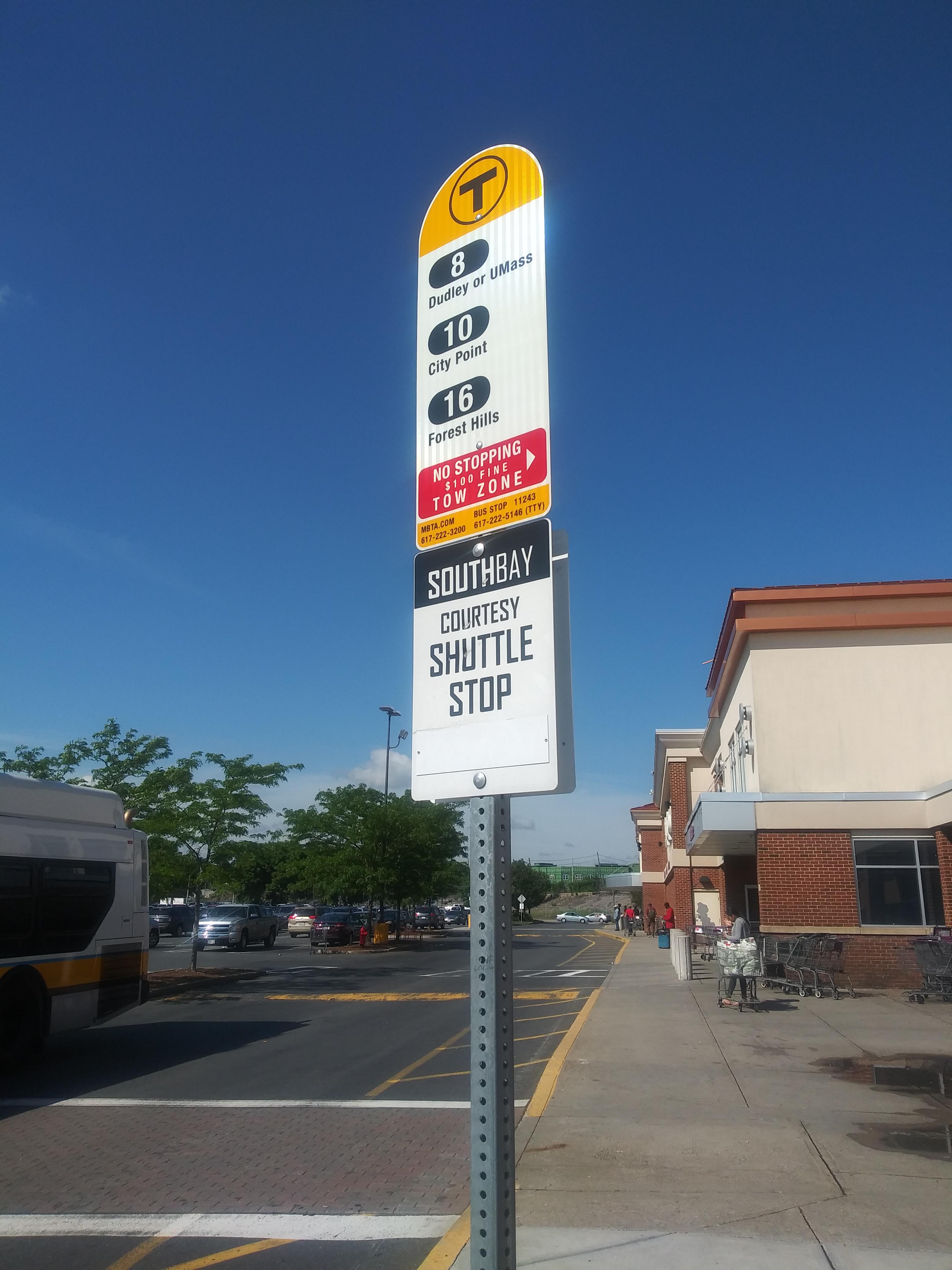 Taken by Arthur S.
See Boston St @ W Howell St stop on the map
Public transit to Boston St @ W Howell St stop (ID: 2907)
Looking for directions to Boston St @ W Howell St in Boston, United States?
Download the Moovit App to find the current schedule and step-by-step directions for Bus or Subway routes that pass through Boston St @ W Howell St.
Looking for the nearest stops closest to Boston St @ W Howell St ? Check out this list of closest stops to your destination: Boston St Opp Washburn St; Dorchester Ave Opp Howell St; South Bay Mall @ Allstate Rd; Newmarket; Jfk/Umass.
Bus: 10, 11, 17, 8, 16, 18.Train: FAIRMOUNT, FRANKLIN/FOXBORO, PROVIDENCE/STOUGHTON, FALL RIVER/NEW BEDFORD, GREENBUSH, KINGSTON, RED LINE.Subway: RED LINE.
We make riding on public transit to Boston St @ W Howell St easy, which is why over 1.7 billion users, including users in Boston trust Moovit as the best app for public transit.
Use the app to navigate to popular places including to the airport, hospital, stadium, grocery store, mall, coffee shop, school, college, and university.
Boston St @ W Howell St stop’s code is 2907
The first line to this stop is 16, at 5:04 AM, and the last line is 17 at 4:56 AM.
131 Boston Street, Boston, MA, USA
This stop serves MBTA’s lines
- Boston St Opp Washburn St,
- Dorchester Ave Opp Howell St,
- South Bay Mall @ Allstate Rd
Bus stops near Boston St @ W Howell St stop
- Union St @ Silsbee St,
- Union Street & Methuen Street,
- E 8th St @ L St,
- Eastern Ave @ Broadway,
- Washington St @ Archdale Rd,
- Ruggles,
- Rindge Ave @ Massachusetts Ave,
- 383 Paradise Rd,
- Burbank, Fitchburg,
- Washington Ave @ Heard St,
- Washington St @ Pearl St,
- L St @ Broadway,
- Warren St @ Quincy St,
- Providence College (Huxley Gate),
- Sylvan St @ Lebanon St,
- Central St @ Lincoln Ave,
- Patriot Square, South Dennis,
- Beale St @ N Central Ave,
- Massachusetts Ave.,
- Massachusetts Ave @ Pearl St
Popular public transit stations in Boston
Get around Boston by public transit!
Traveling around Boston has never been so easy. See step by step directions as you travel to any attraction, street or major public transit station. View bus and train schedules, arrival times, service alerts and detailed routes on a map, so you know exactly how to get to anywhere in Boston.
When traveling to any destination around Boston use Moovit's Live Directions with Get Off Notifications to know exactly where and how far to walk, how long to wait for your line, and how many stops are left. Moovit will alert you when it's time to get off — no need to constantly re-check whether yours is the next stop.
Wondering how to use public transit in Boston or how to pay for public transit in Boston? Moovit public transit app can help you navigate your way with public transit easily, and at minimum cost. It includes public transit fees, ticket prices, and costs. Looking for a map of Boston public transit lines? Moovit public transit app shows all public transit maps in Boston with all Bus, Train, Subway and Ferry routes and stops on an interactive map.
Boston has 4 transit type(s), including: Bus, Train, Subway and Ferry, operated by several transit agencies, including MBTA, Southeastern Regional Transit Authority, MetroWest Regional Transit Authority, Rhode Island Public Transit Authority, WRTA, Lowell Regional Transit Authority, MEVA, Montachusett Regional Transit Authority, Cape Cod Regional Transit Authority, Brockton Area Transit Authority, Martha's Vineyard Transit Authority, Nantucket Regional Transit Authority, GATRA, Cape Ann Transportation Authority and Massport