Botanic Road stop - Tuesday schedule
| Line | Direction | Time |
|---|---|---|
| E1 | Northwood | 3:36 AM |
| 24 | Dublin Airport | 3:52 AM |
| E2 | Harristown | 3:58 AM |
| 24 | Dublin Airport | 4:22 AM |
| E1 | Northwood | 4:29 AM |
| 24 | Dublin Airport | 4:52 AM |
| E2 | Harristown | 4:58 AM |
| 24 | Dublin Airport | 5:22 AM |
| E1 | Northwood | 5:29 AM |
| 24 | Dublin Airport | 5:42 AM |
| E2 | Harristown | 5:48 AM |
| E1 | Northwood | 5:49 AM |
| 24 | Dublin Airport | 6:05 AM |
| E1 | Northwood | 6:09 AM |
| E2 | Harristown | 6:13 AM |
| 23 | Charlestown | 6:13 AM |
| E1 | Northwood | 6:19 AM |
| 24 | Dublin Airport | 6:25 AM |
| 23 | Charlestown | 6:33 AM |
| E2 | Harristown | 6:37 AM |
| 24 | Dublin Airport | 6:45 AM |
| E2 | Harristown | 6:47 AM |
| E1 | Northwood | 6:47 AM |
| 23 | Charlestown | 6:54 AM |
| E2 | Harristown | 6:57 AM |
Directions to Botanic Road stop (Dublin) with public transit
The following transit lines have routes that pass near Botanic Road
 Bus: 23, 24, E1, E2, F2.
- Train: RAIL, COMMUTER.
How to get to Botanic Road stop by bus?
Click on the bus route to see step by step directions with maps, line arrival times and updated time schedules.
How to get to Botanic Road stop by train?
Click on the train route to see step by step directions with maps, line arrival times and updated time schedules.
Bus stops near Botanic Road stop in Dublin
- Wayfinding Centre, 1 min walk,
- Prospect Way, 3 min walk,
- De Courcy Sq, 4 min walk,
- Finglas Road, 5 min walk,
Light Rail stations near Botanic Road station in Dublin
- Cabra, 17 min walk,
Train stations near Botanic Road station in Dublin
- Drumcondra, 50 min walk,
Bus lines to Botanic Road stop in Dublin
- E1, Ballywaltrim,
- E2, Dun Laoghaire,
- 23, Charlestown,
- 24, Merrion Square,
- 980, Carrickmacross,
- DUBLIN CITY SOUTH, WESTMORELAND STREET - ASHBOURNE, ASHBOURNE KELLY'S, Tudor Grove,
- F1, Tallaght,
- F2, Rossmore Road,
- F3, Limekiln Avenue,
- 40D, Parnell St,
- 103, Ratoath,
- 109X, Cavan,
What are the closest stations to Botanic Road?
The closest stations to Botanic Road are:
- Wayfinding Centre stop is 17 meters away, 1 min walk.
- Prospect Way stop is 176 meters away, 3 min walk.
- De Courcy Sq stop is 315 meters away, 4 min walk.
- Finglas Road stop is 335 meters away, 5 min walk.
- Cabra station is 1323 meters away, 17 min walk.
- Drumcondra station is 3970 meters away, 50 min walk.
Which bus lines stop near Botanic Road?
These bus lines stop near Botanic Road: 23, 24, E1, E2, F2.
Which train line stops near Botanic Road?
RAIL (Connolly→Sligo (Macdiarmada))
What’s the nearest light rail station to Botanic Road in Dublin?
The nearest light rail station to Botanic Road in Dublin is Cabra. It’s a 17 min walk away.
What’s the nearest bus station to Botanic Road in Dublin?
The nearest bus station to Botanic Road in Dublin is Wayfinding Centre. It’s a 1 min walk away.
What time is the first light rail to Botanic Road in Dublin?
The GREEN is the first light rail that goes to Botanic Road in Dublin. It stops nearby at 5:33 AM.
What time is the last light rail to Botanic Road in Dublin?
The GREEN is the last light rail that goes to Botanic Road in Dublin. It stops nearby at 12:59 AM.
What time is the first train to Botanic Road in Dublin?
The RAIL is the first train that goes to Botanic Road in Dublin. It stops nearby at 5:30 AM.
What time is the last train to Botanic Road in Dublin?
The RAIL is the last train that goes to Botanic Road in Dublin. It stops nearby at 11:53 PM.
What time is the first bus to Botanic Road in Dublin?
The F1 is the first bus that goes to Botanic Road in Dublin. It stops nearby at 3:00 AM.
What time is the last bus to Botanic Road in Dublin?
The E1 is the last bus that goes to Botanic Road in Dublin. It stops nearby at 3:36 AM.
Botanic Road station
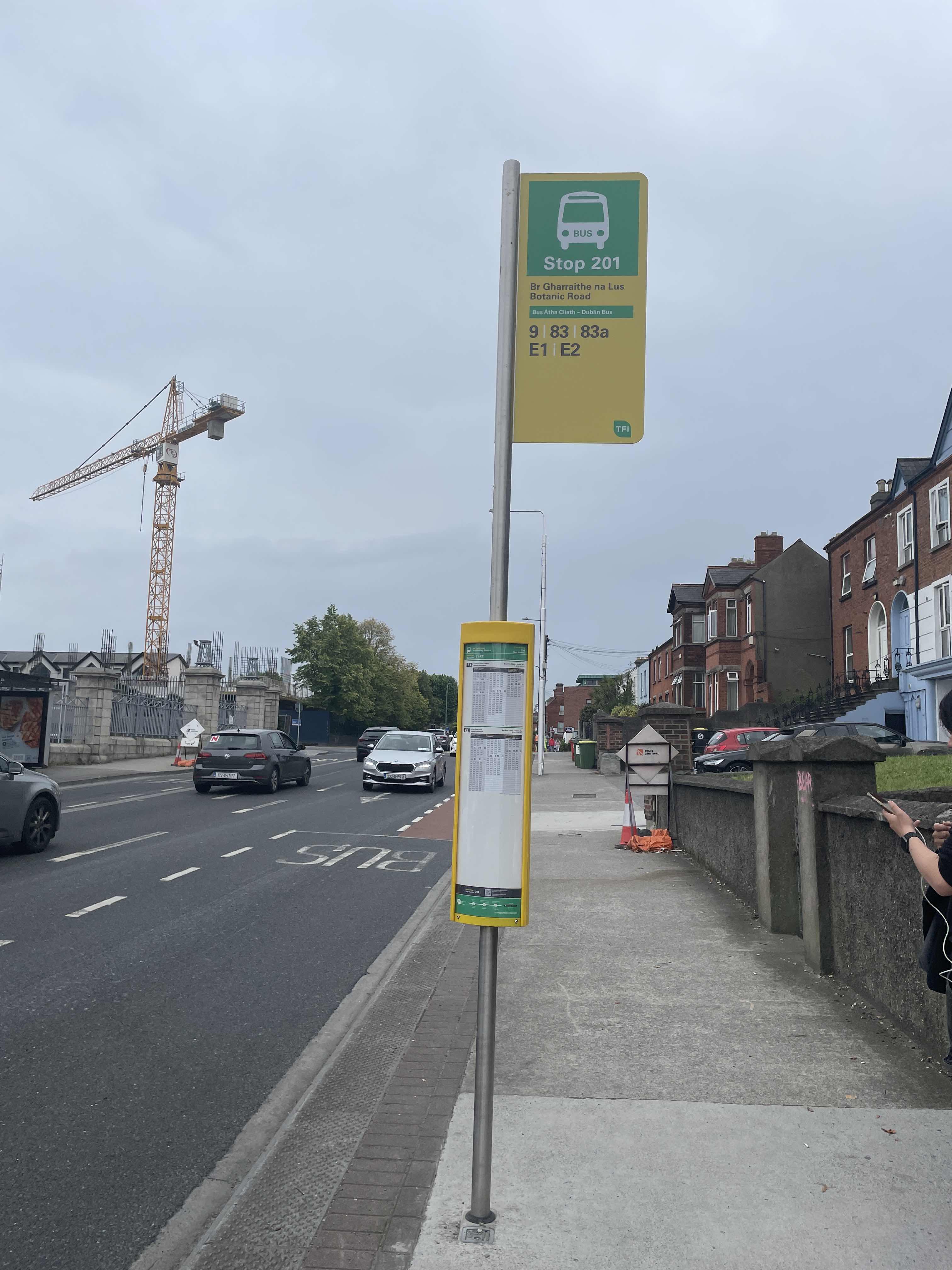 Taken by Anonymous
See Botanic Road stop, Dublin, on the map
Public transit to Botanic Road stop (ID: 201) in Dublin
Looking for directions to Botanic Road in Dublin, Ireland?
Download the Moovit App to find the current schedule and step-by-step directions for Bus, Light Rail or Train routes that pass through Botanic Road.
Looking for the nearest stops closest to Botanic Road ? Check out this list of closest stops to your destination: Wayfinding Centre; Prospect Way; De Courcy Sq; Finglas Road; Cabra; Drumcondra.
Bus: 23, 24, E1, E2, F2, 980, DUBLIN CITY SOUTH, WESTMORELAND STREET - ASHBOURNE, ASHBOURNE KELLY'S, F1, F3, 40D, 103, 109X.Train: RAIL, COMMUTER.
We make riding on public transit to Botanic Road easy, which is why over 1.7 billion users, including users in Dublin trust Moovit as the best app for public transit.
Use the app to navigate to popular places including to the airport, hospital, stadium, grocery store, mall, coffee shop, school, college, and university.
Botanic Road stop’s code is 201
The first line to this stop is E1, at 3:36 AM, and the last line is E2 at 2:58 AM.
59 Botanic Road, Dublin, Ireland
This stop serves Bus Átha Cliath – Dublin Bus and Nitelink, Dublin Bus’s lines
- Wayfinding Centre,
- Prospect Way,
- De Courcy Sq,
- Finglas Road
Bus stops near Botanic Road stop
- Cabra
Light Rail station near Botanic Road station
- Drumcondra
Train station near Botanic Road station
- Dorset Street Lwr,
- Gort Na Bro Western Distributor Road Galway,
- Sarsfield Road,
- Kilkenny, Castlecomer Road,
- Crumlin Hospital,
- High Street,
- Lidl Rdc,
- Pouladuff Rd,
- Ashfield House,
- Harristown Depot,
- Dublin (Ucd Stillorgan Rd Flyover),
- Seamount,
- Walkinstown Rnbt,
- Tadhg Barry Rd,
- Sarsfield Br,
- Maghera Cross Roads,
- Arundel Square,
- Bunratty Road,
- Rossmore Road,
- Oldtown Road
Popular public transit stations in Dublin
Get around Dublin by public transit!
Traveling around Dublin has never been so easy. See step by step directions as you travel to any attraction, street or major public transit station. View bus and train schedules, arrival times, service alerts and detailed routes on a map, so you know exactly how to get to anywhere in Dublin.
When traveling to any destination around Dublin use Moovit's Live Directions with Get Off Notifications to know exactly where and how far to walk, how long to wait for your line, and how many stops are left. Moovit will alert you when it's time to get off — no need to constantly re-check whether yours is the next stop.
Wondering how to use public transit in Dublin or how to pay for public transit in Dublin? Moovit public transit app can help you navigate your way with public transit easily, and at minimum cost. It includes public transit fees, ticket prices, and costs. Looking for a map of Dublin public transit lines? Moovit public transit app shows all public transit maps in Dublin with all Bus, Train and Light Rail routes and stops on an interactive map.
Ireland has 3 transit type(s), including: Bus, Train and Light Rail, operated by several transit agencies, including Luas, Bus Átha Cliath – Dublin Bus, Bus Éireann, Go-Ahead Ireland, Nitelink, Dublin Bus, Citylink, City Direct, Kenneally's Bus Service, Aircoach, TFI Local Link Mayo, Irish Rail, Express Bus, JJ/Bernard Kavanagh, Dublin Coach and Kearns Transport