Br. Ciudad Jardín Sur (Ak 10 - Av. 1 De Mayo) stop - Friday schedule
| Line | Direction | Time |
|---|---|---|
| H716 | Molinos II | 5:00 |
| 624 | Verbenal Del Sur | 5:00 |
| K328 | Puerta De Teja | 5:02 |
| H131 | Diana Turbay | 5:02 |
| T12 | San Joaquín | 5:02 |
| T25 | Potosí | 5:06 |
| H636 | Rincón De Venecia | 5:06 |
| H725 | El Tuno | 5:09 |
| L815 | Villa Del Cerro | 5:11 |
| H706 | El Uval | 5:11 |
| H618 | Santo Domingo | 5:12 |
| 13-2 | Providencia Alta ⇄ Estación Avenida 1° De Mayo | 5:14 |
| 13-4 | Diana Turbay ⇄ Avenida 1° De Mayo | 5:16 |
| 13-5 | Las Paces ⇄ Avenida 1° De Mayo | 5:17 |
| L809 | Santa Rita Sur Oriental | 5:20 |
| H702 | El Uval | 5:23 |
| H600 | Jerusalén | 5:24 |
| H907 | Usme Centro | 5:29 |
| H716 | Molinos II | 5:30 |
| 624 | Verbenal Del Sur | 5:30 |
| K328 | Puerta De Teja | 5:32 |
| H131 | Diana Turbay | 5:34 |
| T12 | San Joaquín | 5:35 |
| T25 | Potosí | 5:36 |
| H636 | Rincón De Venecia | 5:36 |
Directions to Br. Ciudad Jardín Sur (Ak 10 - Av. 1 De Mayo) stop (Antonio Nariño) with public transit
The following transit lines have routes that pass near Br. Ciudad Jardín Sur (Ak 10 - Av. 1 De Mayo)
How to get to Br. Ciudad Jardín Sur (Ak 10 - Av. 1 De Mayo) stop by bus?
Click on the bus route to see step by step directions with maps, line arrival times and updated time schedules.
How to get to Br. Ciudad Jardín Sur (Ak 10 - Av. 1 De Mayo) stop by cable car?
Click on the cable car route to see step by step directions with maps, line arrival times and updated time schedules.
Bus stops near Br. Ciudad Jardín Sur (Ak 10 - Av. 1 De Mayo) stop in Antonio Nariño
- Br. Sosiego Sur (Av. 1 De Mayo - Kr 10a) (A), 2 min walk,
- Hospital San Cristóbal (Av. 1 De Mayo - Kr 9a) (A), 2 min walk,
- Br. Ciudad Jardín Sur (Av. 1 De Mayo - Kr 10) (B), 2 min walk,
- Hospital San Cristóbal (Av. 1 De Mayo - Kr 8a) (B), 3 min walk,
- Br. 20 De Julio (Ak 10 - Cl 21a Sur), 3 min walk,
- Br. Sosiego Sur (Av. 1 De Mayo - Kr 10a) (B), 3 min walk,
- Br. Sosiego Sur (Ak 10 - Cl 22 Sur), 4 min walk,
- Batallón José María Rosillo (Kr 8 - Cl 19 Sur), 6 min walk,
Cable Car stations near Br. Ciudad Jardín Sur (Ak 10 - Av. 1 De Mayo) station in Antonio Nariño
- Fucha, 19 min walk,
- Country Sur, 35 min walk,
- Avenida 1° De Mayo, 42 min walk,
- Restrepo, 56 min walk,
Bus lines to Br. Ciudad Jardín Sur (Ak 10 - Av. 1 De Mayo) stop in Antonio Nariño
- P7, Pinares,
- N16, Avenida 1° De Mayo ⇄ Gaviotas,
- T30B, Tihuaque,
- 111, Gaviotas,
- 114A, Altos Del Zuque,
- 117, Libertadores,
- 139, Juan Rey,
- L155, Gaviotas,
- 256, Tihuaque,
- L331, Nueva Delhi,
- L517, Canadá Güira,
- L533, Doña Liliana,
- C701, La Roca,
- 740, Península,
- L803, Gaviotas,
- L811, Aguas Claras,
- L812, Villa Del Cerro,
- P7, Porvenir,
- P24, Bosa San José,
- 111, Metrovivienda,
What are the closest stations to Br. Ciudad Jardín Sur (Ak 10 - Av. 1 De Mayo)?
The closest stations to Br. Ciudad Jardín Sur (Ak 10 - Av. 1 De Mayo) are:
- Br. Sosiego Sur (Av. 1 De Mayo - Kr 10a) (A) is 100 meters away, 2 min walk.
- Hospital San Cristóbal (Av. 1 De Mayo - Kr 9a) (A) is 119 meters away, 2 min walk.
- Br. Ciudad Jardín Sur (Av. 1 De Mayo - Kr 10) (B) is 135 meters away, 2 min walk.
- Hospital San Cristóbal (Av. 1 De Mayo - Kr 8a) (B) is 178 meters away, 3 min walk.
- Br. 20 De Julio (Ak 10 - Cl 21a Sur) is 207 meters away, 3 min walk.
- Br. Sosiego Sur (Av. 1 De Mayo - Kr 10a) (B) is 226 meters away, 3 min walk.
- Br. Sosiego Sur (Ak 10 - Cl 22 Sur) is 260 meters away, 4 min walk.
- Batallón José María Rosillo (Kr 8 - Cl 19 Sur) is 386 meters away, 6 min walk.
- Fucha is 1427 meters away, 19 min walk.
- Country Sur is 2725 meters away, 35 min walk.
- Avenida 1° De Mayo is 3263 meters away, 42 min walk.
- Restrepo is 4316 meters away, 56 min walk.
Which bus lines stop near Br. Ciudad Jardín Sur (Ak 10 - Av. 1 De Mayo)?
These bus lines stop near Br. Ciudad Jardín Sur (Ak 10 - Av. 1 De Mayo): 60, 614, H131, L517, T12, T30B.
Which cable car lines stop near Br. Ciudad Jardín Sur (Ak 10 - Av. 1 De Mayo)?
These cable car lines stop near Br. Ciudad Jardín Sur (Ak 10 - Av. 1 De Mayo): L25, L81, L82, M83.
What’s the nearest bus station to Br. Ciudad Jardín Sur (Ak 10 - Av. 1 De Mayo) in Antonio Nariño?
The nearest bus stations to Br. Ciudad Jardín Sur (Ak 10 - Av. 1 De Mayo) in Antonio Nariño are Br. Sosiego Sur (Av. 1 De Mayo - Kr 10a) (A), Hospital San Cristóbal (Av. 1 De Mayo - Kr 9a) (A) and Br. Ciudad Jardín Sur (Av. 1 De Mayo - Kr 10) (B). The closest one is a 2 min walk away.
What’s the nearest cable car station to Br. Ciudad Jardín Sur (Ak 10 - Av. 1 De Mayo) in Antonio Nariño?
The nearest cable car station to Br. Ciudad Jardín Sur (Ak 10 - Av. 1 De Mayo) in Antonio Nariño is Fucha. It’s a 19 min walk away.
What time is the first bus to Br. Ciudad Jardín Sur (Ak 10 - Av. 1 De Mayo) in Antonio Nariño?
The K328 is the first bus that goes to Br. Ciudad Jardín Sur (Ak 10 - Av. 1 De Mayo) in Antonio Nariño. It stops nearby at 4:00 AM.
What time is the last bus to Br. Ciudad Jardín Sur (Ak 10 - Av. 1 De Mayo) in Antonio Nariño?
The N16 is the last bus that goes to Br. Ciudad Jardín Sur (Ak 10 - Av. 1 De Mayo) in Antonio Nariño. It stops nearby at 3:07 AM.
What time is the first cable car to Br. Ciudad Jardín Sur (Ak 10 - Av. 1 De Mayo) in Antonio Nariño?
The B72 is the first cable car that goes to Br. Ciudad Jardín Sur (Ak 10 - Av. 1 De Mayo) in Antonio Nariño. It stops nearby at 4:11 AM.
What time is the last cable car to Br. Ciudad Jardín Sur (Ak 10 - Av. 1 De Mayo) in Antonio Nariño?
The L25 is the last cable car that goes to Br. Ciudad Jardín Sur (Ak 10 - Av. 1 De Mayo) in Antonio Nariño. It stops nearby at 10:48 PM.
Br. Ciudad Jardín Sur (Ak 10 - Av. 1 De Mayo) station
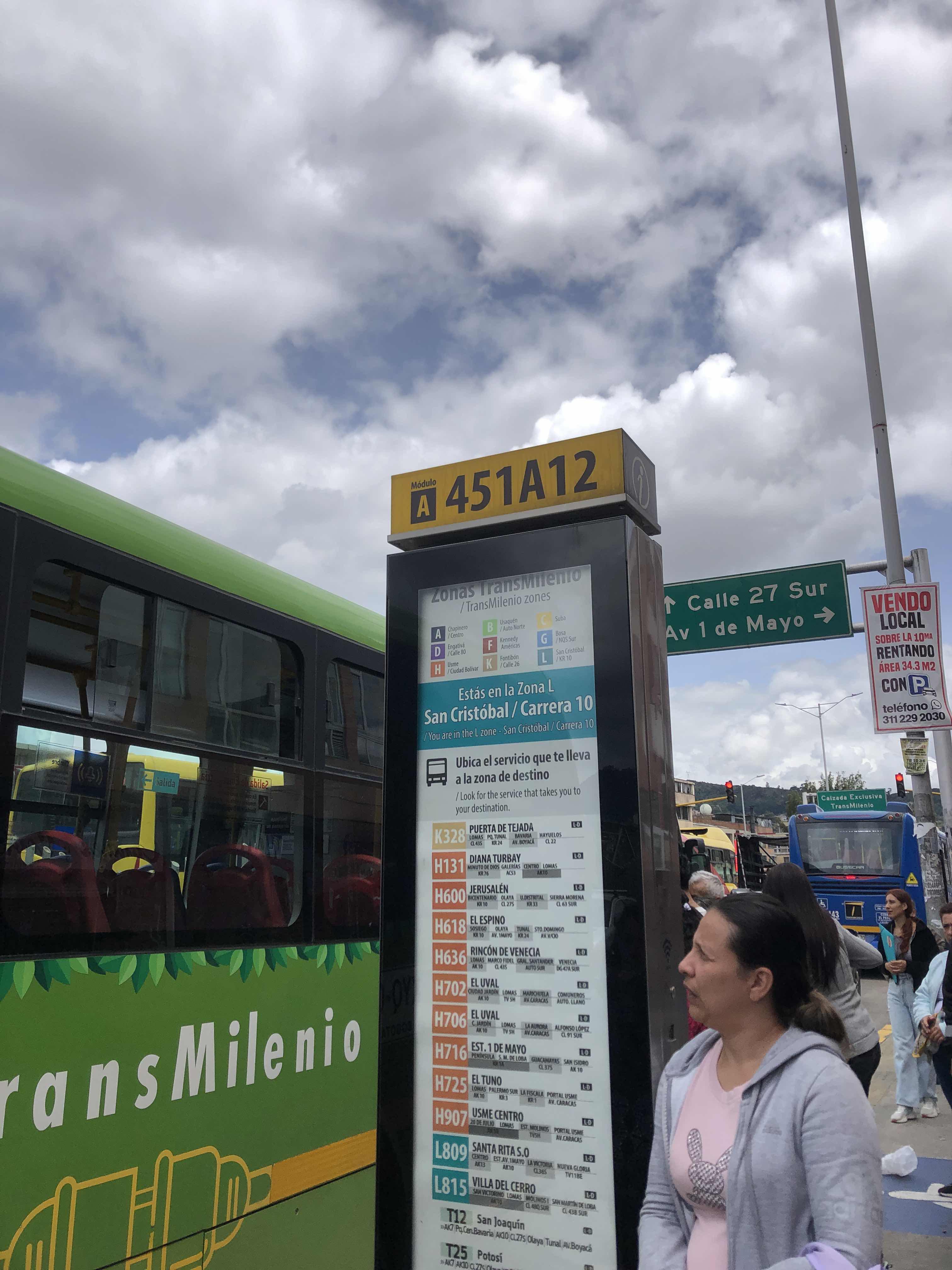 Taken by Anonymous
See Br. Ciudad Jardín Sur (Ak 10 - Av. 1 De Mayo) stop, Antonio Nariño, on the map
Public transit to Br. Ciudad Jardín Sur (Ak 10 - Av. 1 De Mayo) stop (ID: 451A12) in Antonio Nariño
Looking for directions to Br. Ciudad Jardín Sur (Ak 10 - Av. 1 De Mayo) in Antonio Nariño, Colombia?
Download the Moovit App to find the current schedule and step-by-step directions for Bus or Cable Car routes that pass through Br. Ciudad Jardín Sur (Ak 10 - Av. 1 De Mayo).
Looking for the nearest stops closest to Br. Ciudad Jardín Sur (Ak 10 - Av. 1 De Mayo) ? Check out this list of closest stops to your destination: Br. Sosiego Sur (Av. 1 De Mayo - Kr 10a) (A); Hospital San Cristóbal (Av. 1 De Mayo - Kr 9a) (A); Br. Ciudad Jardín Sur (Av. 1 De Mayo - Kr 10) (B); Hospital San Cristóbal (Av. 1 De Mayo - Kr 8a) (B); Br. 20 De Julio (Ak 10 - Cl 21a Sur); Br. Sosiego Sur (Av. 1 De Mayo - Kr 10a) (B); Br. Sosiego Sur (Ak 10 - Cl 22 Sur); Batallón José María Rosillo (Kr 8 - Cl 19 Sur); Fucha; Country Sur; Avenida 1° De Mayo; Restrepo.
Bus: 60, 614, H131, L517, T12, T30B, P7, N16, 111, 114A, P7, P24, 111, 117, 13-2, 114A, D219, 256, K328, G508, 624, P24, L219, L312, L416, 580.Cable Car: L25, L81, L82, M83, 3, 3, D21, H21, B72.
We make riding on public transit to Br. Ciudad Jardín Sur (Ak 10 - Av. 1 De Mayo) easy, which is why over 1.5 million users, including users in Antonio Nariño trust Moovit as the best app for public transit.
Use the app to navigate to popular places including to the airport, hospital, stadium, grocery store, mall, coffee shop, school, college, and university.
Br. Ciudad Jardín Sur (Ak 10 - Av. 1 De Mayo) stop’s code is 451A12
The first line to this stop is H716, at 5:00, and the last line is H907 at 4:59.
This stop serves TransMiZonal’s lines
Bus stops near Br. Ciudad Jardín Sur (Ak 10 - Av. 1 De Mayo) stop
Cable Car stations near Br. Ciudad Jardín Sur (Ak 10 - Av. 1 De Mayo) station
Popular public transit stations in Antonio Nariño
Get around Antonio Nariño by public transit!
Traveling around Antonio Nariño has never been so easy. See step by step directions as you travel to any attraction, street or major public transit station. View bus and train schedules, arrival times, service alerts and detailed routes on a map, so you know exactly how to get to anywhere in Antonio Nariño.
When traveling to any destination around Antonio Nariño use Moovit's Live Directions with Get Off Notifications to know exactly where and how far to walk, how long to wait for your line, and how many stops are left. Moovit will alert you when it's time to get off — no need to constantly re-check whether yours is the next stop.
Wondering how to use public transit in Antonio Nariño or how to pay for public transit in Antonio Nariño? Moovit public transit app can help you navigate your way with public transit easily, and at minimum cost. It includes public transit fees, ticket prices, and costs. Looking for a map of Antonio Nariño public transit lines? Moovit public transit app shows all public transit maps in Antonio Nariño with all Bus, Cable Car and Funicular routes and stops on an interactive map.
Bogota has 3 transit type(s), including: Bus, Cable Car and Funicular, operated by several transit agencies, including TransMiZonal, Buses Troncales, TransMiCable, Cerro de Monserrate, Aeropuerto El Dorado, Cootranscajicá Ltda., Flota Chia Ltda. and Auto Servicio Chía Ltda.