Bray Station stop - Tuesday schedule
| Line | Direction | Time |
|---|---|---|
| L15 | Bray Station | 6:33 AM |
| L15 | Enniskerry Golf Club | 6:40 AM |
| L15 | Bray Station | 7:31 AM |
| L15 | Enniskerry Golf Club | 7:40 AM |
| L15 | Bray Station | 8:34 AM |
| L15 | Enniskerry Golf Club | 8:40 AM |
| L15 | Bray Station | 9:36 AM |
| L15 | Enniskerry Golf Club | 9:40 AM |
| L15 | Bray Station | 10:36 AM |
| L15 | Enniskerry Golf Club | 10:40 AM |
| L15 | Bray Station | 11:36 AM |
| L15 | Enniskerry Golf Club | 11:40 AM |
| L15 | Bray Station | 12:36 PM |
| L15 | Enniskerry Golf Club | 12:40 PM |
| L15 | Bray Station | 1:38 PM |
| L15 | Enniskerry Golf Club | 1:40 PM |
| L15 | Bray Station | 2:37 PM |
| L15 | Enniskerry Golf Club | 2:40 PM |
| L15 | Bray Station | 3:37 PM |
| L15 | Enniskerry Golf Club | 3:40 PM |
| L15 | Bray Station | 4:37 PM |
| L15 | Enniskerry Golf Club | 4:40 PM |
| L15 | Bray Station | 5:37 PM |
| L15 | Enniskerry Golf Club | 5:40 PM |
| L15 | Bray Station | 6:37 PM |
Directions to Bray Station with public transportation
The following transit lines have routes that pass near Bray Station
 Bus: 45A, E1, L14, BR01, L1.
- Train: DART.
How to get to Bray Station by bus?
Click on the bus route to see step by step directions with maps, line arrival times and updated time schedules.
How to get to Bray Station by train?
Click on the train route to see step by step directions with maps, line arrival times and updated time schedules.
Bus stops near Bray Station
- Victoria Avenue, 4 min walk,
- Bray Institute, 5 min walk,
- Bray Station, 7 min walk,
- Quinsborough Road, 8 min walk,
- Wyndham Park, 8 min walk,
- Methodist Church, 8 min walk,
- Cornerstone Church, 8 min walk,
Train station near Bray Station
- Shankill, 22 min walk,
Bus lines to Bray Station
- L14, Southern Cross,
- BR01, Gorey Main Street,
- L1, Bray Station,
- L2, Bray Station,
- L12, Bray Station,
- 131, Drop Off,
- DUBLIN CITY SOUTH, D'OLIER STREET - CHARLESLAND ROAD (SEABORNE VIEW APTS), Charlesland,
- L15, Enniskerry Golf Club,
- 45A, Kilmacanogue,
- 45B, Dun Laoghaire Stn,
- E1, Ballywaltrim,
- 185T, Southern Cross,
What are the closest stations to Bray Station?
The closest stations to Bray Station are:
- Victoria Avenue is 291 meters away, 4 min walk.
- Bray Institute is 322 meters away, 5 min walk.
- Bray Station is 459 meters away, 7 min walk.
- Quinsborough Road is 554 meters away, 8 min walk.
- Wyndham Park is 563 meters away, 8 min walk.
- Methodist Church is 569 meters away, 8 min walk.
- Cornerstone Church is 587 meters away, 8 min walk.
- Shankill is 1713 meters away, 22 min walk.
Which bus lines stop near Bray Station?
These bus lines stop near Bray Station: 45A, E1.
Which train line stops near Bray Station?
DART (Malahide→Greystones)
What’s the nearest train station to Bray Station?
The nearest train station to Bray Station is Shankill. It’s a 22 min walk away.
What’s the nearest bus station to Bray Station?
The nearest bus station to Bray Station is Victoria Avenue. It’s a 4 min walk away.
What time is the first train to Bray Station?
The DART is the first train that goes to Bray Station. It stops nearby at 5:38 AM.
What time is the last train to Bray Station?
The DART is the last train that goes to Bray Station. It stops nearby at 12:15 AM.
What time is the first bus to Bray Station?
The E1 is the first bus that goes to Bray Station. It stops nearby at 3:12 AM.
What time is the last bus to Bray Station?
The E1 is the last bus that goes to Bray Station. It stops nearby at 4:12 AM.
Bray Station station
 Taken by Anonymous
See Bray Station on the map
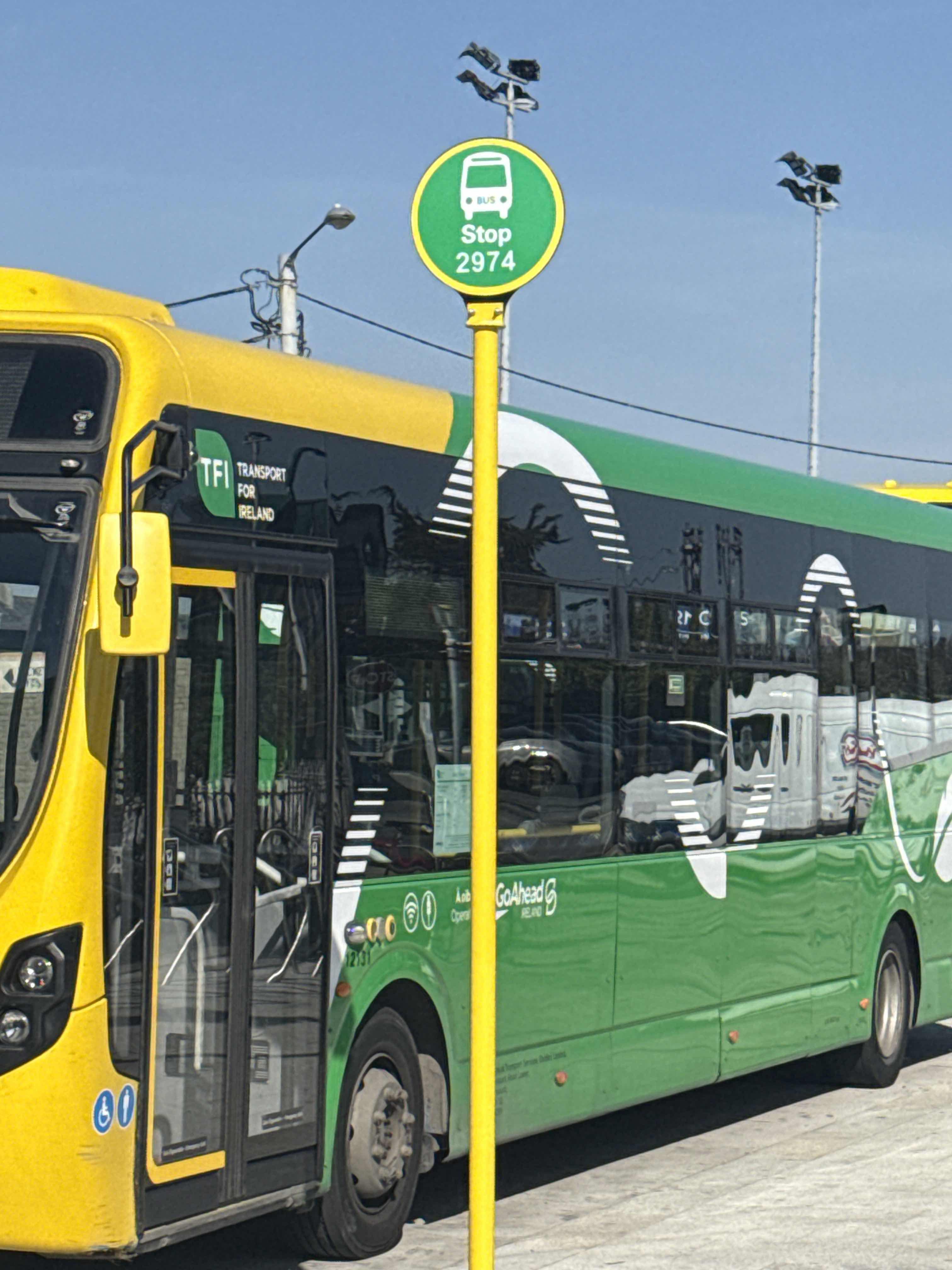
Public transit to Bray Station stop (ID: 2974)
Looking for directions to Bray Station in Bray, Ireland?
Download the Moovit App to find the current schedule and step-by-step directions for Bus or Train routes that pass through Bray Station.
Looking for the nearest stops closest to Bray Station ? Check out this list of closest stops to your destination: Victoria Avenue; Bray Institute; Bray Station; Quinsborough Road; Wyndham Park; Methodist Church; Cornerstone Church; Shankill.
Bus: 45A, E1, L14, BR01, L1, L2, L12, 131.Train: DART.
We make riding on public transit to Bray Station easy, which is why over 1.5 million users, including users in Bray trust Moovit as the best app for public transit.
Use the app to navigate to popular places including to the airport, hospital, stadium, grocery store, mall, coffee shop, school, college, and university.
Bray Station stop’s code is 2974
The first line to this stop is L15, at 6:33 AM, and the last line is L15 at 11:40 PM.
This stop serves Go-Ahead’s lines

- Victoria Avenue,
- Bray Institute,
- Bray Station,
- Quinsborough Road,
- Wyndham Park,
- Methodist Church,
- Cornerstone Church
Bus stops near Bray Station
- Shankill
Train station near Bray Station
- Griffeen Avenue,
- Silver Banks,
- Waterford Bus Station,
- Blackrock Church,
- Rockview,
- Fermoy,
- Terenure College,
- Killiney Hill Park,
- Whiteoaks,
- Ballymakenny College,
- Phoenix House,
- Broadale,
- Baggot Street Lower,
- Windy Arbour,
- Bushypark,
- The Crescent,
- Conyngham Road,
- Cork Kent Station,
- Garristown,
- Foxborough Park
Popular public transit stations in Bray
Get around Bray by public transit!
Traveling around Bray has never been so easy. See step by step directions as you travel to any attraction, street or major public transit station. View bus and train schedules, arrival times, service alerts and detailed routes on a map, so you know exactly how to get to anywhere in Bray.
When traveling to any destination around Bray use Moovit's Live Directions with Get Off Notifications to know exactly where and how far to walk, how long to wait for your line, and how many stops are left. Moovit will alert you when it's time to get off — no need to constantly re-check whether yours is the next stop.
Wondering how to use public transit in Bray or how to pay for public transit in Bray? Moovit public transit app can help you navigate your way with public transit easily, and at minimum cost. It includes public transit fees, ticket prices, and costs. Looking for a map of Bray public transit lines? Moovit public transit app shows all public transit maps in Bray with all Bus, Train and Light Rail routes and stops on an interactive map.
Ireland has 3 transit type(s), including: Bus, Train and Light Rail, operated by several transit agencies, including Luas, Bus Átha Cliath – Dublin Bus, Bus Éireann, Go-Ahead Ireland, Nitelink, Dublin Bus, Citylink, City Direct, Kenneally's Bus Service, Aircoach, TFI Local Link Mayo, Irish Rail, Express Bus, JJ/Bernard Kavanagh, Dublin Coach and Kearns Transport