How to get to Brazil Plus (Via Brasil) by bus?
Click on the bus route to see step by step directions with maps, line arrival times and updated time schedules.
From Royal Caribbean Cruises Ltd., Miami
75 minFrom The Fillmore, Miami Beach
34 minFrom John Pennekamp Coral reef state park, Miami
66 minFrom Lincoln Road & Collins Avenue, Miami Beach
23 minFrom Walmart Supercenter, Miami
83 minFrom Target, Miami Beach
31 minFrom Sawgrass mall ( FL ), Miami Beach
30 minFrom Port of Miami - Royal Caribbean, Miami
75 minFrom Dolphin Mall Bus, Miami
55 minFrom NE 2nd Ave / Abel Holtz Blvd, Miami
53 min
Bus stops near Brazil Plus (Via Brasil) in Miami Beach
Bus lines to Brazil Plus (Via Brasil) in Miami Beach
What are the closest stations to Brazil Plus (Via Brasil)?
The closest stations to Brazil Plus (Via Brasil) are:
- Collins Av & 67 St is 67 yards away, 1 min walk.
- 71 St & Indian Creek Dr is 959 yards away, 12 min walk.
Which bus lines stop near Brazil Plus (Via Brasil)?
These bus lines stop near Brazil Plus (Via Brasil): 100, 79.
What’s the nearest bus station to Brazil Plus (Via Brasil) in Miami Beach?
The nearest bus station to Brazil Plus (Via Brasil) in Miami Beach is Collins Av & 67 St. It’s a 1 min walk away.
What time is the first bus to Brazil Plus (Via Brasil) in Miami Beach?
The 100 is the first bus that goes to Brazil Plus (Via Brasil) in Miami Beach. It stops nearby at 3:00 AM.
What time is the last bus to Brazil Plus (Via Brasil) in Miami Beach?
The 100 is the last bus that goes to Brazil Plus (Via Brasil) in Miami Beach. It stops nearby at 3:18 AM.
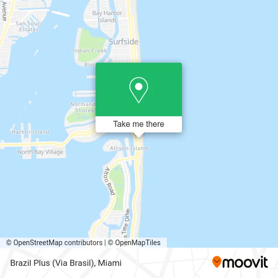
See Brazil Plus (Via Brasil), Miami Beach, on the map
Public Transit to Brazil Plus (Via Brasil) in Miami Beach
Wondering how to get to Brazil Plus (Via Brasil) in Miami Beach? Moovit helps you find the best way to get to Brazil Plus (Via Brasil) with step-by-step directions from the nearest public transit station.
Moovit provides free maps and live directions to help you navigate through your city. View schedules, routes, timetables, and find out how long does it take to get to Brazil Plus (Via Brasil) in real time.
Looking for the nearest stop or station to Brazil Plus (Via Brasil)? Check out this list of stops closest to your destination: Collins Av & 67 St; 71 St & Indian Creek Dr.
Bus: 100, 79, 279.
Want to see if there’s another route that gets you there at an earlier time? Moovit helps you find alternative routes or times. Get directions from and directions to Brazil Plus (Via Brasil) easily from the Moovit App or Website.
We make riding to Brazil Plus (Via Brasil) easy, which is why over 1.5 million users, including users in Miami Beach, trust Moovit as the best app for public transit. You don’t need to download an individual bus app or train app, Moovit is your all-in-one transit app that helps you find the best bus time or train time available.
For information on prices of bus, costs and ride fares to Brazil Plus (Via Brasil), please check the Moovit app.
Use the app to navigate to popular places including to the airport, hospital, stadium, grocery store, mall, coffee shop, school, college, and university.
Brazil Plus (Via Brasil) Address: 6620 Collins Ave street in Miami Beach
- Nila's Flowers,
- Collins Avenue & 67th Street,
- La Parrilla Liberty,
- Collins Hotel,
- Collins Hotel Miami Beach FL USA,
- Citibank,
- Sherry Frontenac,
- Miami Beach-North Beach,
- Deauville Beach Resort Miami,
- Dharma Home Suites,
- Monte Carlo,
- Palm Tree Publications,
- Quality Air of America,
- Suites in Monte Carlo,
- The Sandbox Stage,
- Waterside Hotel & Suites in Miami Beach,
- Mimosa Hotel (MB Hotel, Trademark Collection by Wyndham),
- Collins Ave / 65th St,
- Nobe Suites & Bar,
- Modesto Leon
Places Near Brazil Plus (Via Brasil) (Miami Beach)
- Wynwood, Miami,
- Brickell City Centre, Miami,
- Dolphin Mall, Miami,
- Marlins Park, Miami,
- Bayside Marketplace, Miami,
- Miami Freedom Park, Miami,
- Miami VA Hospital, Miami,
- Sawgrass Mall, Miami,
- Miami-Dade County Courthouse, Miami,
- Dolphin Mall Bus, Miami,
- Port of Miami Cruise Terminal, Miami,
- Richard E. Gerstein Justice Building, Miami,
- Sawgrass mall ( FL ), Miami Beach,
- Miami Design District, Miami,
- Little Havana, Miami,
- Keiser University Flagship Campus, West Palm Beach,
- Aventura Mall, Miami Beach,
- Zoo Miami, Miami,
- Aventura Mall, Miami,
- Hard Rock Stadium, Miami Gardens
How to get to popular places in Miami with public transit
Get around Miami Beach by public transit!
Traveling around Miami Beach has never been so easy. See step by step directions as you travel to any attraction, street or major public transit station. View bus and train schedules, arrival times, service alerts and detailed routes on a map, so you know exactly how to get to anywhere in Miami Beach.
When traveling to any destination around Miami Beach use Moovit's Live Directions with Get Off Notifications to know exactly where and how far to walk, how long to wait for your line, and how many stops are left. Moovit will alert you when it's time to get off — no need to constantly re-check whether yours is the next stop.
Wondering how to use public transit in Miami Beach or how to pay for public transit in Miami Beach? Moovit public transit app can help you navigate your way with public transit easily, and at minimum cost. It includes public transit fees, ticket prices, and costs. Looking for a map of Miami Beach public transit lines? Moovit public transit app shows all public transit maps in Miami Beach with all Bus, Train, Light Rail and Ferry routes and stops on an interactive map.
Miami has 4 transit type(s), including: Bus, Train, Light Rail and Ferry, operated by several transit agencies, including Broward County Transit, Miami-Dade Transit, Metrorail, Palm Tran, Tri-Rail, Brightline, MARTY, City of Homestead Trolley, Key West Transit, Treasure Coast Connector, GoLine IRT, Amtrak, Greyhound-us, FlixBus-us and Aventura Express Shuttle Bus