How to get to Brocchini Gabriele by bus?
Click on the bus route to see step by step directions with maps, line arrival times and updated time schedules.
From Borgo Giannotti, Lucca
26 minFrom Zenzero e Cannella Home Restaurant, Camaiore
48 minFrom Stiava Municipal Sports Field, Union of Municipalities of Versilia
60 minFrom Snai Point, Horse Racing, Sports, Betting, Union of Municipalities of Versilia
52 minFrom Campo di Marte Health Citadel, Lucca
32 minFrom Santa Zita Care Home, Lucca
37 minFrom Md Barbantini Medical Care Center, Lucca
39 minFrom Don Franco Baroni Square, Lucca
32 minFrom San Luca Hospital, Lucca
36 minFrom Lucca Trade Fair, Lucca
62 min
Bus stops near Brocchini Gabriele in Pescaglia
Bus lines to Brocchini Gabriele in Pescaglia
What are the closest stations to Brocchini Gabriele?
The closest stations to Brocchini Gabriele are:
- Provincial Road No.5 is 10 meters away, 1 min walk.
- Monsagrati is 815 meters away, 11 min walk.
Which bus lines stop near Brocchini Gabriele?
These bus lines stop near Brocchini Gabriele: E15, E16.
What’s the nearest bus station to Brocchini Gabriele in Pescaglia?
The nearest bus station to Brocchini Gabriele in Pescaglia is Provincial Road No.5. It’s a 1 min walk away.
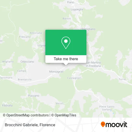
See Brocchini Gabriele, Pescaglia, on the map
Public Transit to Brocchini Gabriele in Pescaglia
Wondering how to get to Brocchini Gabriele in Pescaglia? Moovit helps you find the best way to get to Brocchini Gabriele with step-by-step directions from the nearest public transit station.
Moovit provides free maps and live directions to help you navigate through your city. View schedules, routes, timetables, and find out how long does it take to get to Brocchini Gabriele in real time.
Looking for the nearest stop or station to Brocchini Gabriele? Check out this list of stops closest to your destination: Provincial Road No.5; Monsagrati.
Bus: E15, E16, E34.
Want to see if there’s another route that gets you there at an earlier time? Moovit helps you find alternative routes or times. Get directions from and directions to Brocchini Gabriele easily from the Moovit App or Website.
We make riding to Brocchini Gabriele easy, which is why over 1.5 million users, including users in Pescaglia, trust Moovit as the best app for public transit. You don’t need to download an individual bus app or train app, Moovit is your all-in-one transit app that helps you find the best bus time or train time available.
For information on prices of bus, costs and ride fares to Brocchini Gabriele, please check the Moovit app.
Use the app to navigate to popular places including to the airport, hospital, stadium, grocery store, mall, coffee shop, school, college, and university.
Brocchini Gabriele Address: Strada Provinciale Francigena, 55064 Pescaglia street in Pescaglia
- Benassi Bruno Constructions,
- Maro Vacation Home,
- Edil Pizzi by Pizzi Gianluca and Mauro,
- Santini Brothers,
- Luca Venturini & Andrea Orsi,
- Del Debbio,
- Edil - Pa.S.O.,
- Blue Orchid,
- Soul Food Simplified,
- Grandpa Mario's Little Farm,
- Marcucci Hairdresser,
- Athena,
- Cerealreatina,
- Paolo Da Prato,
- Ancient Burchio Trattoria,
- Banco Bpm,
- Carioca Carmazzi Riccardo,
- Quilici Aldo,
- Verplast by Luchini,
- Valertex by Cacini Valeriano G.
Places Near Brocchini Gabriele (Pescaglia)
- OOO, Florence,
- Santa Maria Nuova Hospital, Florence,
- Michelangelo Square, Florence,
- Asmana, Campi Bisenzio,
- Wanny Palace, Florence,
- Torregalli Hospital Scandicci *, Scandicci,
- I Gigli, Campi Bisenzio,
- Viola Park, Bagno a Ripoli,
- Artemio Franchi Municipal Stadium, Florence,
- Cascine Park, Florence,
- Nelson Mandela Forum, Florence,
- IKEA Florence, Sesto Fiorentino,
- Tobacco Manufacture, Florence,
- Mandela Forum (Nelson Mandela Forum), Florence,
- Piero Palagi Hospital Facility-Florence, Florence,
- Field of Mars, Florence,
- Michelangelo Square, Florence,
- Verdi Theater, Florence,
- Santa Maria Novella Station, Florence,
- Campi Bisenzio, Campi Bisenzio
How to get to popular places in Florence with public transit
Get around Pescaglia by public transit!
Traveling around Pescaglia has never been so easy. See step by step directions as you travel to any attraction, street or major public transit station. View bus and train schedules, arrival times, service alerts and detailed routes on a map, so you know exactly how to get to anywhere in Pescaglia.
When traveling to any destination around Pescaglia use Moovit's Live Directions with Get Off Notifications to know exactly where and how far to walk, how long to wait for your line, and how many stops are left. Moovit will alert you when it's time to get off — no need to constantly re-check whether yours is the next stop.
Wondering how to use public transit in Pescaglia or how to pay for public transit in Pescaglia? Moovit public transit app can help you navigate your way with public transit easily, and at minimum cost. It includes public transit fees, ticket prices, and costs. Looking for a map of Pescaglia public transit lines? Moovit public transit app shows all public transit maps in Pescaglia with all Bus, Train, Light Rail, Ferry and Funicular routes and stops on an interactive map.
Florence has 5 transit type(s), including: Bus, Train, Light Rail, Ferry and Funicular, operated by several transit agencies, including Florence Urban - Tuscan Bus Lines, GEST, Florence and Province - Tuscan Bus Lines, Livorno and Province - Tuscan Bus Lines, Arezzo, Florence and Provinces - Tuscan Bus Lines, Prato and Province - Tuscan Bus Lines, Massa, Carrara and Province - Tuscan Bus Lines, Pisa and Province - Tuscan Bus Lines, Grosseto, Siena and Provinces - Tuscan Bus Lines, Arezzo, Siena and Provinces - Tuscan Bus Lines, Pistoia and Province - Tuscan Bus Lines, Siena and Province - Tuscan Bus Lines, Arezzo and Province - Tuscan Bus Lines, Lucca and Province - Tuscan Bus Lines and Trenitalia