How to get to Bumar Auto by train?
Click on the train route to see step by step directions with maps, line arrival times and updated time schedules.
Bus stops near Bumar Auto in Warsaw
Train stations near Bumar Auto in Warsaw
Bus lines to Bumar Auto in Warsaw
- 10, Wapienica Park Przemysłowy — Uniwersytet Błonia,VIEW
- 11, Straconka Lesniczówka — Warszawska Dworzec,VIEW
- 13, Hałcnów Kościół — Lipnik Dolny,VIEW
- 13W, Lipnik Dolny — Krzemionki Witosa,VIEW
- 14, Hałcnów Kościół — Krzemionki Witosa,VIEW
- 17, Lotnisko — Hałcnów Kościół,VIEW
- 18, Stare Bielsko Kościół — Os. Złote Łany,VIEW
- 19, Czechowice-Dzedzice Orzeszkowej — Os. Złote Łany,VIEW
- 20, Wapienica Strażacka — Os. Złote Łany,VIEW
- 24, Mikuszowice Śląskie — Wapienica ARR,VIEW
- 26, Wapienna Osiedle — Warszawska Dworzec,VIEW
- 27, Lipnik Dolny — Warszawska Dworzec,VIEW
- 3, Komorowice Krakowskie — Osiedle Karpackie,VIEW
- 31, Hałcnów Granica — Podwale Dworzec,VIEW
- 33, Mazańcowice Osiedle — Warszawska Dworzec,VIEW
- 34, Os. Polskich Skrzydeł — Os. Langiewicza,VIEW
- 35, Lipnik Wielkopolska — Warszawska Dworzec,VIEW
- 35S, Warszawska Dworzec Przez Straconkę, Lipnik,VIEW
- 57, Bystra Leśniczówka — Os. Sarni Stok,VIEW
- 6, Os. Karpackie — Lipnik Granica,VIEW
What are the closest stations to Bumar Auto?
The closest stations to Bumar Auto are:
- Partyzantów Belos is 303 meters away, 5 min walk.
- Bystrzańska Olszówka is 577 meters away, 8 min walk.
- Zajezdnia Mzk is 1022 meters away, 14 min walk.
- Bielsko-Biała Lipnik is 1221 meters away, 16 min walk.
- Bielsko-Biała Główna is 2807 meters away, 36 min walk.
Which bus lines stop near Bumar Auto?
These bus lines stop near Bumar Auto: 10, 57.
Which train line stops near Bumar Auto?
S5 (Żywiec)
What’s the nearest train station to Bumar Auto in Warsaw?
The nearest train station to Bumar Auto in Warsaw is Bielsko-Biała Lipnik. It’s a 16 min walk away.
What’s the nearest bus station to Bumar Auto in Warsaw?
The nearest bus station to Bumar Auto in Warsaw is Partyzantów Belos. It’s a 5 min walk away.
What time is the first train to Bumar Auto in Warsaw?
The REG is the first train that goes to Bumar Auto in Warsaw. It stops nearby at 3:35 AM.
What time is the last train to Bumar Auto in Warsaw?
The KSL is the last train that goes to Bumar Auto in Warsaw. It stops nearby at 12:28 AM.
What time is the first bus to Bumar Auto in Warsaw?
The 50 is the first bus that goes to Bumar Auto in Warsaw. It stops nearby at 3:50 AM.
What time is the last bus to Bumar Auto in Warsaw?
The N2 is the last bus that goes to Bumar Auto in Warsaw. It stops nearby at 2:53 AM.
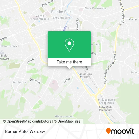
See Bumar Auto, Warsaw, on the map
Public Transit to Bumar Auto in Warsaw
Wondering how to get to Bumar Auto in Warsaw? Moovit helps you find the best way to get to Bumar Auto with step-by-step directions from the nearest public transit station.
Moovit provides free maps and live directions to help you navigate through your city. View schedules, routes, timetables, and find out how long does it take to get to Bumar Auto in real time.
Looking for the nearest stop or station to Bumar Auto? Check out this list of stops closest to your destination: Partyzantów Belos; Bystrzańska Olszówka; Zajezdnia Mzk; Bielsko-Biała Lipnik; Bielsko-Biała Główna.
Bus: 10, 57, 11, 13, 13W, 14, 29, 32, 35L, 4, 56, 1, 12, 2, 16, 23, 50, 53, 7.Train: S5, KSL, S1/S5, S5/S1, S75, EIC 1400, EIC 1410, IC 1428, IC 3400, IC 3402.
Want to see if there’s another route that gets you there at an earlier time? Moovit helps you find alternative routes or times. Get directions from and directions to Bumar Auto easily from the Moovit App or Website.
We make riding to Bumar Auto easy, which is why over 1.5 million users, including users in Warsaw, trust Moovit as the best app for public transit. You don’t need to download an individual bus app or train app, Moovit is your all-in-one transit app that helps you find the best bus time or train time available.
For information on prices of train and bus, costs and ride fares to Bumar Auto, please check the Moovit app.
Use the app to navigate to popular places including to the airport, hospital, stadium, grocery store, mall, coffee shop, school, college, and university.
Bumar Auto Address: ulica Blokowa 11, 43-316 Bielsko-Biała street in Warsaw
- Przedsięb Produkc Handlowo Usługowe Elcomp Sp Cyw Drewniak P Dirycz P,
- Comp Tech Sp z o O,
- Delta Food Ingredients sp. z o.o.,
- Dodek Bike Servis - Dominik Duraj,
- Jp Food Ingredients sp. z o.o. Spółka Komandytowa,
- Wiesław Duraj,
- Air Photo Gorpol,
- M Vision Andrzej Uniwersał,
- Serwis Szyb Samochodowych,
- Auto Glass Łukaszewski,
- Elektryka-Teletechnika. Zakład Usług Budowlanych,
- FPHU Sabina,
- Cai Electric Poland sp. z o.o.,
- Lapserwis Zenon Smuda,
- Moda Projekt,
- Sklep Przemysłowy Kolarczyk Agata,
- Slajd. Karolak K.,
- Bistro Piekarnik,
- Trep Sklep Obuwniczy,
- Mabo
Places Near Bumar Auto (Warsaw)
- Szpital Bielański, Warsaw,
- Torwar, Warsaw,
- Galeria Północna, Warsaw,
- Stare Miasto, Warsaw,
- Szpital Czerniakowski, Warsaw,
- CH Arkadia, Warsaw,
- Szpital Spartanska, Warsaw,
- Centralny Szpital Kliniczny MSWiA ul. Wołoska, Warsaw,
- Wołoska, Warsaw,
- PGE Narodowy, Warsaw,
- Domaniewska, Warsaw,
- Szaserów - Szpital, Warsaw,
- Banacha - Szpital Kliniczny, Warsaw,
- Szpital Orłowskiego, Warsaw,
- Postępu, Warsaw,
- Cmentarz Bródnowski, Warsaw,
- Instytut Kardiologii w Aninie, Warsaw,
- Galeria Mokotów, Warsaw,
- Sejm Rp, Warsaw,
- Wołoska-Szpital 01, Warsaw
How to get to popular places in Warsaw with public transit
Get around Warsaw by public transit!
Traveling around Warsaw has never been so easy. See step by step directions as you travel to any attraction, street or major public transit station. View bus and train schedules, arrival times, service alerts and detailed routes on a map, so you know exactly how to get to anywhere in Warsaw.
When traveling to any destination around Warsaw use Moovit's Live Directions with Get Off Notifications to know exactly where and how far to walk, how long to wait for your line, and how many stops are left. Moovit will alert you when it's time to get off — no need to constantly re-check whether yours is the next stop.
Wondering how to use public transit in Warsaw or how to pay for public transit in Warsaw? Moovit public transit app can help you navigate your way with public transit easily, and at minimum cost. It includes public transit fees, ticket prices, and costs. Looking for a map of Warsaw public transit lines? Moovit public transit app shows all public transit maps in Warsaw with all Bus, Train, Metro, Light Rail, Ferry and Cable Car routes and stops on an interactive map.
Warsaw has 6 transit type(s), including: Bus, Train, Metro, Light Rail, Ferry and Cable Car, operated by several transit agencies, including Warszawski Transport Publiczny, Warszawska Kolej Dojazdowa, Koleje Mazowieckie, ZTP Kraków, Miasto Piastów, Miasto Ząbki, Koleje Małopolskie, Komunikacja Miejska Łomianki, Gmina Pruszków, MPK Wrocław, MZDiK Radom, UM w Grodzisku Mazowieckim, UM w Nowym Dworze Mazowieckim, UM Płońsk and Koleje Dolnośląskie