Directions to Burrus Insurance Agency (Roanoke) with public transportation
The following transit lines have routes that pass near Burrus Insurance Agency
 Bus: 55, GREYHOUND US0600, TROLLEY, 56, 51.
- Train: NORTHEAST REGIONAL.
How to get to Burrus Insurance Agency by bus?
Click on the bus route to see step by step directions with maps, line arrival times and updated time schedules.
How to get to Burrus Insurance Agency by train?
Click on the train route to see step by step directions with maps, line arrival times and updated time schedules.
Bus stops near Burrus Insurance Agency in Roanoke
Train station near Burrus Insurance Agency in Roanoke
- Roanoke, 49 min walk,VIEW
Bus lines to Burrus Insurance Agency in Roanoke
What are the closest stations to Burrus Insurance Agency?
The closest stations to Burrus Insurance Agency are:
- Franklin Nb at Walnut is 37 yards away, 1 min walk.
- Franklin Sb at Woods is 154 yards away, 3 min walk.
- Jefferson & Walnut is 554 yards away, 7 min walk.
- Jefferson Sb at Marion (Breast Cancer Center) is 570 yards away, 7 min walk.
- Jefferson Nb at Albemarle is 624 yards away, 8 min walk.
- Vtc is 903 yards away, 11 min walk.
- Roanoke is 4078 yards away, 49 min walk.
Which bus lines stop near Burrus Insurance Agency?
These bus lines stop near Burrus Insurance Agency: 55, GREYHOUND US0600, TROLLEY.
Which train line stops near Burrus Insurance Agency?
NORTHEAST REGIONAL (Roanoke)
What’s the nearest bus station to Burrus Insurance Agency in Roanoke?
The nearest bus station to Burrus Insurance Agency in Roanoke is Franklin Nb at Walnut. It’s a 1 min walk away.
What time is the first train to Burrus Insurance Agency in Roanoke?
The NORTHEAST REGIONAL is the first train that goes to Burrus Insurance Agency in Roanoke. It stops nearby at 9:35 AM.
What time is the last train to Burrus Insurance Agency in Roanoke?
The NORTHEAST REGIONAL is the last train that goes to Burrus Insurance Agency in Roanoke. It stops nearby at 10:13 PM.
What time is the first bus to Burrus Insurance Agency in Roanoke?
The 56 is the first bus that goes to Burrus Insurance Agency in Roanoke. It stops nearby at 6:00 AM.
What time is the last bus to Burrus Insurance Agency in Roanoke?
The SMART WAY EXPRESS is the last bus that goes to Burrus Insurance Agency in Roanoke. It stops nearby at 8:45 PM.
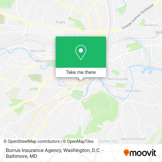
See Burrus Insurance Agency, Roanoke, on the map
Public Transit to Burrus Insurance Agency in Roanoke
Wondering how to get to Burrus Insurance Agency in Roanoke? Moovit helps you find the best way to get to Burrus Insurance Agency with step-by-step directions from the nearest public transit station.
Moovit provides free maps and live directions to help you navigate through your city. View schedules, routes, timetables, and find out how long does it take to get to Burrus Insurance Agency in real time.
Looking for the nearest stop or station to Burrus Insurance Agency? Check out this list of stops closest to your destination: Franklin Nb at Walnut; Franklin Sb at Woods; Jefferson & Walnut; Jefferson Sb at Marion (Breast Cancer Center); Jefferson Nb at Albemarle; Vtc; Roanoke.
Bus: 55, GREYHOUND US0600, TROLLEY, 56, 51, 52.Train: NORTHEAST REGIONAL.
Want to see if there’s another route that gets you there at an earlier time? Moovit helps you find alternative routes or times. Get directions from and directions to Burrus Insurance Agency easily from the Moovit App or Website.
We make riding to Burrus Insurance Agency easy, which is why over 1.5 million users, including users in Roanoke, trust Moovit as the best app for public transit. You don’t need to download an individual bus app or train app, Moovit is your all-in-one transit app that helps you find the best bus time or train time available.
For information on prices of bus and train, costs and ride fares to Burrus Insurance Agency, please check the Moovit app.
Use the app to navigate to popular places including to the airport, hospital, stadium, grocery store, mall, coffee shop, school, college, and university.
Burrus Insurance Agency Address: 1360 Maple Ave SW Roanoke, VA 24016 street in Roanoke
- Kevin Hurley Photography,
- Extra Special Parents,
- Inception Esp,
- Stephanie Leiser - Thrivent,
- New Day Chiropractic,
- Flaming Pearl Mystery School,
- Inner Wisdom Roanoke,
- Body Sense Day Spa & Clinic,
- Roanoke Valley Ceremonies - Rev. Rhonda Nease,
- Sheila Guarnagia, Mac, Lac,
- Legacy Ultrasound,
- Daniels Institute of Massage,
- Mellow Accountant,
- Roanoke League of Therapists,
- Accounting Outside the Box,
- Body Sense,
- Blue Filly Productions,
- Valor Partners,
- Tiberius Enterprises,
- Starvision Pictures
Places Near Burrus Insurance Agency (Roanoke)
- National Zoo, Washington,
- Washington National Cathedral, Washington,
- Camden Yards, Baltimore,
- National Museum of African American History and Culture, Washington,
- PG Mall, Prince George's County,
- Washington DC VA Medical Center, Washington,
- Warner Theatre, Washington,
- Westfield Montgomery Mall, Montgomery County,
- Sibley Memorial Hospital, Washington,
- Basilica of the National Shrine, Washington,
- Pennsylvania Ave NW (3rd st and pennsylvania), Washington,
- M&T Bank Stadium, Baltimore,
- National Mall, Washington,
- Marriott Marquis Washington, DC, Washington,
- Amazon Hq2, Arlington County,
- Rock Creek Tennis Center, Washington,
- The Anthem, Washington,
- Capital One Arena, Washington,
- Georgetown, Washington,
- Museum Of The Bible, Washington
How to get to popular places in Washington, D.C. - Baltimore, MD with public transit
Get around Roanoke by public transit!
Traveling around Roanoke has never been so easy. See step by step directions as you travel to any attraction, street or major public transit station. View bus and train schedules, arrival times, service alerts and detailed routes on a map, so you know exactly how to get to anywhere in Roanoke.
When traveling to any destination around Roanoke use Moovit's Live Directions with Get Off Notifications to know exactly where and how far to walk, how long to wait for your line, and how many stops are left. Moovit will alert you when it's time to get off — no need to constantly re-check whether yours is the next stop.
Wondering how to use public transit in Roanoke or how to pay for public transit in Roanoke? Moovit public transit app can help you navigate your way with public transit easily, and at minimum cost. It includes public transit fees, ticket prices, and costs. Looking for a map of Roanoke public transit lines? Moovit public transit app shows all public transit maps in Roanoke with all Bus, Train, Metro, Light Rail and Ferry routes and stops on an interactive map.
Washington, D.C. - Baltimore, MD has 5 transit type(s), including: Bus, Train, Metro, Light Rail and Ferry, operated by several transit agencies, including WMATA, Montgomery County Ride On, Fairfax Connector, TheBus, PRTC, DASH - Alexandria, Arlington Transit (ART), RTA of Central Maryland, MDOT MTA, MDOT MTA Light RailLink, MDOT MTA Commuter Bus, MDOT MTA Local Bus, FXBGO!, Virginia Railway Express (VRE) and MARC