How to get to CAM VI by bus?
Click on the bus route to see step by step directions with maps, line arrival times and updated time schedules.
From Residencial Alcazar, Aguascalientes
56 minFrom Delegación Jesús Terán Peredo, Aguascalientes
40 minFrom Fraccionamiento Camino Real, Aguascalientes
55 minFrom Agropecuario, Aguascalientes
41 minFrom Av.Federico Méndez, Aguascalientes
58 minFrom Coyote Ugly, Aguascalientes
56 minFrom Mirador de las Culturas II, Aguascalientes
59 minFrom Fraccionamiento Viña Antigua, Aguascalientes
63 minFrom Avenida Paseo de las Maravillas, Aguascalientes
53 minFrom Hacienda Nueva, Aguascalientes
52 min
Bus stops near CAM VI in Aguascalientes
Bus lines to CAM VI in Aguascalientes
- RUTA 02, Centro (Jardín Carpio),VIEW
- RUTA 07, Villa Las Palmas,VIEW
- RUTA 28, Jesús María,VIEW
- RUTA 37, Hacienda San Marcos,VIEW
- RUTA 40, Terminal Oriente - Terminal Oriente (S),VIEW
- RUTA 40, Terminal Oriente - Terminal Oriente (N),VIEW
- RUTA 42, Bellavista,VIEW
- RUTA 20S, Terminal Oriente - Terminal Oriente (S),VIEW
- RUTA 20N, Terminal Oriente - Terminal Oriente (N),VIEW
What are the closest stations to CAM VI?
The closest stations to CAM VI are:
- Avenida Héroe De Nacozari, Lb is 184 meters away, 3 min walk.
- No Name is 251 meters away, 4 min walk.
- Avenida Aguascalientes Sur, 2729 is 460 meters away, 6 min walk.
- Avenida Héroe De Nacozari, 2301 is 537 meters away, 7 min walk.
- Avenida De La Convención De 1914 Sur, 707 is 656 meters away, 9 min walk.
- Prolongación Josefa Ortiz De Domínguez, 101 is 732 meters away, 10 min walk.
Which bus lines stop near CAM VI?
These bus lines stop near CAM VI: RUTA 37, RUTA 40.
What’s the nearest bus station to CAM VI in Aguascalientes?
The nearest bus station to CAM VI in Aguascalientes is Avenida Héroe De Nacozari, Lb. It’s a 3 min walk away.
What time is the first bus to CAM VI in Aguascalientes?
The RUTA 20S is the first bus that goes to CAM VI in Aguascalientes. It stops nearby at 5:55 AM.
What time is the last bus to CAM VI in Aguascalientes?
The RUTA 07 is the last bus that goes to CAM VI in Aguascalientes. It stops nearby at 10:55 PM.
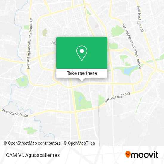
See CAM VI, Aguascalientes, on the map
Public Transit to CAM VI in Aguascalientes
Wondering how to get to CAM VI in Aguascalientes? Moovit helps you find the best way to get to CAM VI with step-by-step directions from the nearest public transit station.
Moovit provides free maps and live directions to help you navigate through your city. View schedules, routes, timetables, and find out how long does it take to get to CAM VI in real time.
Looking for the nearest stop or station to CAM VI? Check out this list of stops closest to your destination: Avenida Héroe De Nacozari; No Name; Avenida Aguascalientes Sur; Avenida Héroe De Nacozari; Avenida De La Convención De 1914 Sur; Prolongación Josefa Ortiz De Domínguez.
Bus: RUTA 37, RUTA 40, RUTA 02, RUTA 07, RUTA 28, RUTA 42, RUTA 20S, RUTA 20N.
Want to see if there’s another route that gets you there at an earlier time? Moovit helps you find alternative routes or times. Get directions from and directions to CAM VI easily from the Moovit App or Website.
We make riding to CAM VI easy, which is why over 1.5 million users, including users in Aguascalientes, trust Moovit as the best app for public transit. You don’t need to download an individual bus app or train app, Moovit is your all-in-one transit app that helps you find the best bus time or train time available.
For information on prices of bus, costs and ride fares to CAM VI, please check the Moovit app.
Use the app to navigate to popular places including to the airport, hospital, stadium, grocery store, mall, coffee shop, school, college, and university.
Location: Aguascalientes
- Clinica De Medicina Estetica y Antienvejecimiento,
- Cirujana Oftafmologa,
- Dr Oscar Daniel Torres Bernal,
- Consutorio Pediattra,
- Notaria Publica 50,
- Consultorios Rennova,
- Grupo Promomex,
- Metrofitness López Mateos,
- Sumitomo Electric Hardmetal De Mexico,
- Salón Los Ángeles,
- Jp Electroconstrucciones SA de CV,
- PROESPA,
- Dr Jorge González Pérez,
- Escuela de Idiomas Best y Active English,
- Asociacion Mexicana de Mujeres Empresarias de Aguascalientes, a.C.,
- Restaurante de la Tierra,
- Consusltorio Medico Homeopata,
- Refacciones y Equipos Lecheros Ryel,
- La Realeza del Taco,
- Turipaquetes
Places Near CAM VI (Aguascalientes)
- Aeropuerto de Aguascalientes S.A. de C.V., Aguascalientes,
- ESPACIOS, Aguascalientes,
- Central De Autobuses, Aguascalientes,
- Centro, Aguascalientes,
- Hospital Imss No. 3, Aguascalientes,
- Villas de Nuestra Señora de la Asunción, Aguascalientes,
- Nuevo Hospital Hidalgo, Aguascalientes,
- Blvd. Luis Donaldo Colosio, Aguascalientes,
- Ciudad industrial, Aguascalientes,
- clinica 3 uaa, Aguascalientes,
- Imss Clinica 1, Aguascalientes,
- Jesús María, Aguascalientes,
- Villasuncion, Aguascalientes,
- La Isla San Marcos, Aguascalientes,
- Parque Las Tres Centurias, Aguascalientes,
- Isla San Marcos, Aguascalientes,
- Terminal De Combis, Aguascalientes,
- Centro Comercial Altaria, Aguascalientes,
- Agropecuario, Aguascalientes,
- Universidad Autónoma de Aguascalientes, Aguascalientes
How to get to popular places in Aguascalientes with public transit
Get around Aguascalientes by public transit!
Traveling around Aguascalientes has never been so easy. See step by step directions as you travel to any attraction, street or major public transit station. View bus and train schedules, arrival times, service alerts and detailed routes on a map, so you know exactly how to get to anywhere in Aguascalientes.
When traveling to any destination around Aguascalientes use Moovit's Live Directions with Get Off Notifications to know exactly where and how far to walk, how long to wait for your line, and how many stops are left. Moovit will alert you when it's time to get off — no need to constantly re-check whether yours is the next stop.
Wondering how to use public transit in Aguascalientes or how to pay for public transit in Aguascalientes? Moovit public transit app can help you navigate your way with public transit easily, and at minimum cost. It includes public transit fees, ticket prices, and costs. Looking for a map of Aguascalientes public transit lines? Moovit public transit app shows all public transit maps in Aguascalientes with all bus routes and stops on an interactive map.
Aguascalientes has 1 transit type(s), including: bus, operated by several transit agencies, including Coordinación General de Movilidad