How to get to CBO by bus?
Click on the bus route to see step by step directions with maps, line arrival times and updated time schedules.
From Rock Creek Park, Washington
58 minFrom Nova- Alexandria Campus, Alexandria
54 minFrom Smithsonian National Zoological Park, Washington
55 minFrom The Westin Alexandria Old Town, Alexandria
70 minFrom Sibley Memorial Hospital, Washington
73 minFrom Washington National Cathedral (Atlantic Services Location, Washington
58 minFrom Uspto, Alexandria
70 minFrom Laurel MD-195, Montgomery County
76 minFrom MedStar Washington Hospital Center, Washington
45 minFrom Homewood Suites by Hilton Arlington Rosslyn Key Bridge, Arlington County
70 min
How to get to CBO by train?
Click on the train route to see step by step directions with maps, line arrival times and updated time schedules.
How to get to CBO by metro?
Click on the metro route to see step by step directions with maps, line arrival times and updated time schedules.
From Smithsonian National Zoological Park, Washington
29 minFrom The Westin Alexandria Old Town, Alexandria
45 minFrom Washington National Cathedral (Atlantic Services Location, Washington
48 minFrom Uspto, Alexandria
45 minFrom Laurel MD-195, Montgomery County
36 minFrom MedStar Washington Hospital Center, Washington
37 minFrom Homewood Suites by Hilton Arlington Rosslyn Key Bridge, Arlington County
30 min
Bus stops near CBO in Washington
Metro station near CBO in Washington
- L'Enfant Plaza, 11 min walk,VIEW
Bus lines to CBO in Washington
- 735, 735/4 Washington Dc,VIEW
- 850, 850/2 Suitland / Washington Dc,VIEW
- D10, West To Foggy Bottom,VIEW
- D1X, East To Naylor Rd,VIEW
- 230, 230/9 Annapolis,VIEW
- 250, 250/1 Washington Dc,VIEW
- 305, 305/3 Washington Dc,VIEW
- 315, 315/2 Washington Dc,VIEW
- 325, 325/6 Columbia,VIEW
- 335, 335/3 Washington Dc,VIEW
- 345, 345/2 Washington Dc,VIEW
- 630, 630/10 La Plata,VIEW
- 725, 725/1 Washington Dc,VIEW
- 810, 810/5 Pindell,VIEW
- 820, 820/2 Washington Dc,VIEW
- 830, 830/2 Washington Dc,VIEW
- 840, 840/7 Prince Frederick / St Leonard,VIEW
- D50, North To Takoma,VIEW
- C55, East To Buzzard Point,VIEW
- D60, South To L'Enfant Plaza,VIEW
What are the closest stations to CBO?
The closest stations to CBO are:
- 4th St & E St SW Nb is 420 yards away, 6 min walk.
- Independence Av Sw+Washington Av SW is 569 yards away, 8 min walk.
- Independence Av Sw+3 St SW is 655 yards away, 9 min walk.
- Independence Ave & 4th & 3rd St SW Eb is 690 yards away, 9 min walk.
- D St Sw+6 St SW is 749 yards away, 10 min walk.
- L'Enfant Plaza is 900 yards away, 11 min walk.
Which bus lines stop near CBO?
These bus lines stop near CBO: 281, 315, 610, 612-WAR, D10, D1X.
Which train line stops near CBO?
MANASSAS LINE (Broad Run)
Which metro lines stop near CBO?
These metro lines stop near CBO: BLUE, ORANGE, SILVER.
What’s the nearest metro station to CBO in Washington?
The nearest metro station to CBO in Washington is L'Enfant Plaza. It’s a 11 min walk away.
What’s the nearest bus station to CBO in Washington?
The nearest bus station to CBO in Washington is 4th St & E St SW Nb. It’s a 6 min walk away.
What time is the first metro to CBO in Washington?
The BLUE is the first metro that goes to CBO in Washington. It stops nearby at 5:14 AM.
What time is the last metro to CBO in Washington?
The GREEN is the last metro that goes to CBO in Washington. It stops nearby at 12:18 AM.
What time is the first train to CBO in Washington?
The MANASSAS LINE is the first train that goes to CBO in Washington. It stops nearby at 6:12 AM.
What time is the last train to CBO in Washington?
The MANASSAS LINE is the last train that goes to CBO in Washington. It stops nearby at 7:08 PM.
What time is the first bus to CBO in Washington?
The D10 is the first bus that goes to CBO in Washington. It stops nearby at 3:02 AM.
What time is the last bus to CBO in Washington?
The D50 is the last bus that goes to CBO in Washington. It stops nearby at 3:34 AM.
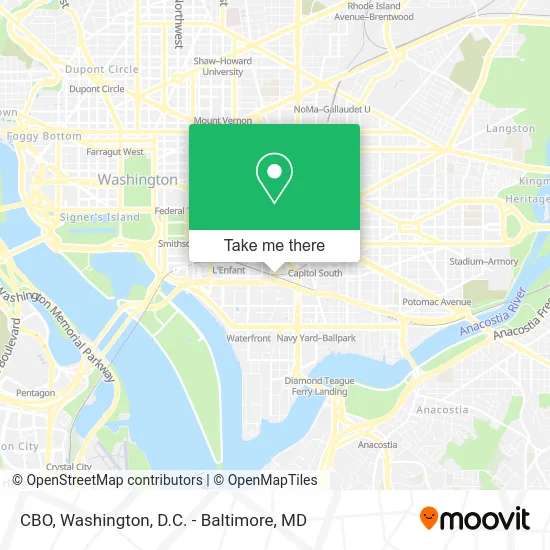
See CBO, Washington, on the map
Public Transit to CBO in Washington
Wondering how to get to CBO in Washington? Moovit helps you find the best way to get to CBO with step-by-step directions from the nearest public transit station.
Moovit provides free maps and live directions to help you navigate through your city. View schedules, routes, timetables, and find out how long does it take to get to CBO in real time.
Looking for the nearest stop or station to CBO? Check out this list of stops closest to your destination: 4th St & E St SW Nb; Independence Av Sw+Washington Av SW; Independence Av Sw+3 St SW; Independence Ave & 4th & 3rd St SW Eb; D St Sw+6 St SW; L'Enfant Plaza.
Bus: 281, 315, 610, 612-WAR, D10, D1X, 735, 850, 230, 250, 305, 325, D50, C55, D60.Train: MANASSAS LINE.Metro: BLUE, ORANGE, SILVER, GREEN, YELLOW.
Want to see if there’s another route that gets you there at an earlier time? Moovit helps you find alternative routes or times. Get directions from and directions to CBO easily from the Moovit App or Website.
We make riding to CBO easy, which is why over 1.5 million users, including users in Washington, trust Moovit as the best app for public transit. You don’t need to download an individual bus app or train app, Moovit is your all-in-one transit app that helps you find the best bus time or train time available.
For information on prices of metro, bus and train, costs and ride fares to CBO, please check the Moovit app.
Use the app to navigate to popular places including to the airport, hospital, stadium, grocery store, mall, coffee shop, school, college, and university.
CBO Address: Ford house office bldh street in Washington
- Cp Virginia,
- Comptroller of the Currency,
- FORD HOUSE OFFICE,
- Ford House Office Building,
- US House of Representatives,
- 2nd St SW & D St SW,
- Fairchild Parking Garage,
- Network Information Systems,
- F.B.I,
- Ford House Office Building Cafeteria,
- East Japan Railway Company,
- US Treasury,
- Ford House Office Building (Ford Hse Office Bldg Picnic Area),
- U.S. Small Business Administration,
- Federal Center SW Metro Station,
- Residence Inn,
- Residence Inn-Washington DC (Residence Inn Washington, DC / Capitol),
- Residence Inn-Washington DC,
- Thomas P O'Neill Jr House Office Building (Food and Drug Administration Building),
- Score Mentors Washington DC
Places Near CBO (Washington)
- The Anthem, Washington,
- Amazon Hq2, Arlington County,
- Capital One Arena, Washington,
- Rock Creek Tennis Center, Washington,
- Westfield Montgomery Mall, Montgomery County,
- M&T Bank Stadium, Baltimore,
- Georgetown, Washington,
- Marriott Marquis Washington, DC, Washington,
- National Zoo, Washington,
- Warner Theatre, Washington,
- Pennsylvania Ave NW (3rd st and pennsylvania), Washington,
- Washington National Cathedral, Washington,
- Washington DC VA Medical Center, Washington,
- National Museum of African American History and Culture, Washington,
- Sibley Memorial Hospital, Washington,
- Camden Yards, Baltimore,
- National Mall, Washington,
- Museum Of The Bible, Washington,
- PG Mall, Prince George's County,
- Basilica of the National Shrine, Washington
How to get to popular places in Washington, D.C. - Baltimore, MD with public transit
Get around Washington by public transit!
Traveling around Washington has never been so easy. See step by step directions as you travel to any attraction, street or major public transit station. View bus and train schedules, arrival times, service alerts and detailed routes on a map, so you know exactly how to get to anywhere in Washington.
When traveling to any destination around Washington use Moovit's Live Directions with Get Off Notifications to know exactly where and how far to walk, how long to wait for your line, and how many stops are left. Moovit will alert you when it's time to get off — no need to constantly re-check whether yours is the next stop.
Wondering how to use public transit in Washington or how to pay for public transit in Washington? Moovit public transit app can help you navigate your way with public transit easily, and at minimum cost. It includes public transit fees, ticket prices, and costs. Looking for a map of Washington public transit lines? Moovit public transit app shows all public transit maps in Washington with all Bus, Train, Metro, Light Rail and Ferry routes and stops on an interactive map.
Washington, D.C. - Baltimore, MD has 5 transit type(s), including: Bus, Train, Metro, Light Rail and Ferry, operated by several transit agencies, including WMATA, Montgomery County Ride On, Fairfax Connector, TheBus, PRTC, DASH - Alexandria, Arlington Transit (ART), RTA of Central Maryland, MDOT MTA, MDOT MTA Light RailLink, MDOT MTA Commuter Bus, MDOT MTA Local Bus, FXBGO!, Virginia Railway Express (VRE) and MARC