Directions to CIRCLE K (Grafton) with public transportation
The following transit lines have routes that pass near CIRCLE K
 Bus: 89ER SOUTH, GREEN ROUTE, RED ROUTE, YELLOW ROUTE, BLUE-RED ROUTE.
- Train: VERMONTER.
How to get to CIRCLE K by bus?
Click on the bus route to see step by step directions with maps, line arrival times and updated time schedules.
From Freightliner of New Hampshire, Grafton
32 minFrom Baker Memorial Library, Grafton
16 minFrom King Arthur Baking Company, Windsor
20 minFrom EV Charging Station, Windsor
52 minFrom A Community in Motion, Grafton
22 minFrom Horsth Plastering, Grafton
35 minFrom Hartland/Windsor Park and Ride, Windsor
52 min
How to get to CIRCLE K by train?
Click on the train route to see step by step directions with maps, line arrival times and updated time schedules.
Bus stops near CIRCLE K in Grafton
Train station near CIRCLE K in Grafton
- White River Junction Amtrak Station, 35 min walk,VIEW
Bus lines to CIRCLE K in Grafton
What are the closest stations to CIRCLE K?
The closest stations to CIRCLE K are:
- West Lebanon is 912 yards away, 11 min walk.
- Prospect Street/State Offices is 1698 yards away, 20 min walk.
- White River Junction Amtrak Station is 2963 yards away, 35 min walk.
Which bus lines stop near CIRCLE K?
These bus lines stop near CIRCLE K: 89ER SOUTH, GREEN ROUTE, RED ROUTE, YELLOW ROUTE.
Which train line stops near CIRCLE K?
VERMONTER (Washington Union Station→St. Albans Amtrak Station)
What’s the nearest bus station to CIRCLE K in Grafton?
The nearest bus station to CIRCLE K in Grafton is West Lebanon. It’s a 11 min walk away.
What time is the first train to CIRCLE K in Grafton?
The VERMONTER is the first train that goes to CIRCLE K in Grafton. It stops nearby at 11:37 AM.
What time is the last train to CIRCLE K in Grafton?
The VERMONTER is the last train that goes to CIRCLE K in Grafton. It stops nearby at 6:18 PM.
What time is the first bus to CIRCLE K in Grafton?
The GREEN ROUTE is the first bus that goes to CIRCLE K in Grafton. It stops nearby at 5:57 AM.
What time is the last bus to CIRCLE K in Grafton?
The GREEN ROUTE is the last bus that goes to CIRCLE K in Grafton. It stops nearby at 8:51 PM.
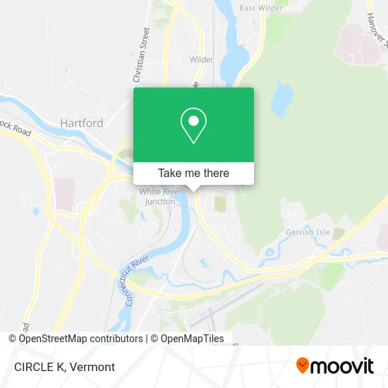
See CIRCLE K, Grafton, on the map
Public Transit to CIRCLE K in Grafton
Wondering how to get to CIRCLE K in Grafton? Moovit helps you find the best way to get to CIRCLE K with step-by-step directions from the nearest public transit station.
Moovit provides free maps and live directions to help you navigate through your city. View schedules, routes, timetables, and find out how long does it take to get to CIRCLE K in real time.
Looking for the nearest stop or station to CIRCLE K? Check out this list of stops closest to your destination: West Lebanon; Prospect Street/State Offices; White River Junction Amtrak Station.
Bus: 89ER SOUTH, GREEN ROUTE, RED ROUTE, YELLOW ROUTE, BLUE-RED ROUTE, ORANGE ROUTE, RIVER ROUTE.Train: VERMONTER.
Want to see if there’s another route that gets you there at an earlier time? Moovit helps you find alternative routes or times. Get directions from and directions to CIRCLE K easily from the Moovit App or Website.
We make riding to CIRCLE K easy, which is why over 1.5 million users, including users in Grafton, trust Moovit as the best app for public transit. You don’t need to download an individual bus app or train app, Moovit is your all-in-one transit app that helps you find the best bus time or train time available.
For information on prices of bus and train, costs and ride fares to CIRCLE K, please check the Moovit app.
Use the app to navigate to popular places including to the airport, hospital, stadium, grocery store, mall, coffee shop, school, college, and university.
CIRCLE K Address: 89 Main St West Lebanon, NH 03784 street in Grafton
- Videostop,
- CSC Servicework,
- Bernie Campaign,
- Nancy Nails,
- Birkenstock,
- West Lebanon, New Hampshire,
- Sanel Napa,
- HRW Design,
- Wolf 95.3 & 107.1,
- Claremont Savings Bank West Lebanon,
- West Lebanon NH USA,
- Cowbell Bike Shop,
- West Lebanon Supply,
- Frames Et Cetera,
- Cooperative Insurance Companies,
- The West Lebanon Laundromat,
- Portland Glass of West Lebanon,
- Jerry Rich Realty,
- 32 Maple St,
- Montshire Towing
Places Near CIRCLE K (Grafton)
- GLOBALFOUNDRIES, Chittenden,
- Dartmouth-Hitchcock Medical Center, Clinical Systems, Grafton,
- Castleton University, Rutland,
- Champlain Valley Exposition, Chittenden,
- Sugarbush Resort,
- Hannaford, Rutland,
- Spring Step,
- Rutland, VT, Rutland,
- Missisquoi River Basin Association,
- Waterbury, VT,
- Xxxxxxxxxxxxx, Chittenden,
- Richford Auto,
- Derby Line Stanstead Border Crossing,
- MVU,
- Springfield, VT, Windsor,
- WXXX, Chittenden,
- Barre, VT,
- Ecco,
- Castleton, VT, Rutland,
- University of Vermont Medical Center - Fanny Allen Campus, Chittenden
How to get to popular places in Vermont with public transit
Get around Grafton by public transit!
Traveling around Grafton has never been so easy. See step by step directions as you travel to any attraction, street or major public transit station. View bus and train schedules, arrival times, service alerts and detailed routes on a map, so you know exactly how to get to anywhere in Grafton.
When traveling to any destination around Grafton use Moovit's Live Directions with Get Off Notifications to know exactly where and how far to walk, how long to wait for your line, and how many stops are left. Moovit will alert you when it's time to get off — no need to constantly re-check whether yours is the next stop.
Wondering how to use public transit in Grafton or how to pay for public transit in Grafton? Moovit public transit app can help you navigate your way with public transit easily, and at minimum cost. It includes public transit fees, ticket prices, and costs. Looking for a map of Grafton public transit lines? Moovit public transit app shows all public transit maps in Grafton with all Bus, Train and Ferry routes and stops on an interactive map.
Vermont has 3 transit type(s), including: Bus, Train and Ferry, operated by several transit agencies, including Green Mountain Transit, Wilmington MOOver, Advance Transit, Vermont Translines, Rockingham MOOver, The Bus (Marble Valley Regional Transit District), Green Mountain Express, Rural Community Transportation, Addison County Transit Resources, Stagecoach Transportation Services, Amtrak, Greyhound-us, Dartmouth Campus Connector and Lake Champlain Ferries