How to get to CPS Insurance Services by bus?
Click on the bus route to see step by step directions with maps, line arrival times and updated time schedules.
From Germantown Md, Washington
71 minFrom Intelligence Community Campus—Bethesda, Montgomery County
59 minFrom British Embassy, Washington
75 minFrom Walmart Supercenter, Washington
74 minFrom Bullis School, Montgomery County
51 minFrom American University, Washington
72 minFrom Embassy Of Ethiopia, Washington
93 minFrom Wegmans, Washington
83 minFrom Rock Creek Tennis Center, Washington
84 minFrom Laurel MD-195, Montgomery County
72 min
How to get to CPS Insurance Services by metro?
Click on the metro route to see step by step directions with maps, line arrival times and updated time schedules.
Bus stops near CPS Insurance Services in Montgomery County
Train station near CPS Insurance Services in Montgomery County
- Garrett Park Marc Eb, 42 min walk,VIEW
Bus lines to CPS Insurance Services in Montgomery County
What are the closest stations to CPS Insurance Services?
The closest stations to CPS Insurance Services are:
- Grosvenor Ln & Fleming Ave is 382 yards away, 5 min walk.
- Tuckerman Ln & Grosvenor Pl is 1160 yards away, 14 min walk.
- Garrett Park Marc Eb is 3513 yards away, 42 min walk.
Which bus lines stop near CPS Insurance Services?
These bus lines stop near CPS Insurance Services: 37, 46, 6.
Which metro line stops near CPS Insurance Services?
RED (Shady Grove)
What’s the nearest bus station to CPS Insurance Services in Montgomery County?
The nearest bus station to CPS Insurance Services in Montgomery County is Grosvenor Ln & Fleming Ave. It’s a 5 min walk away.
What time is the first metro to CPS Insurance Services in Montgomery County?
The RED is the first metro that goes to CPS Insurance Services in Montgomery County. It stops nearby at 5:07 AM.
What time is the last metro to CPS Insurance Services in Montgomery County?
The RED is the last metro that goes to CPS Insurance Services in Montgomery County. It stops nearby at 12:35 AM.
What time is the first train to CPS Insurance Services in Montgomery County?
The MARC is the first train that goes to CPS Insurance Services in Montgomery County. It stops nearby at 5:45 AM.
What time is the last train to CPS Insurance Services in Montgomery County?
The MARC is the last train that goes to CPS Insurance Services in Montgomery County. It stops nearby at 7:45 PM.
What time is the first bus to CPS Insurance Services in Montgomery County?
The 96 is the first bus that goes to CPS Insurance Services in Montgomery County. It stops nearby at 5:41 AM.
What time is the last bus to CPS Insurance Services in Montgomery County?
The 96 is the last bus that goes to CPS Insurance Services in Montgomery County. It stops nearby at 8:57 PM.
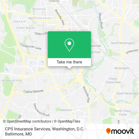
See CPS Insurance Services, Montgomery County, on the map
Public Transit to CPS Insurance Services in Montgomery County
Wondering how to get to CPS Insurance Services in Montgomery County? Moovit helps you find the best way to get to CPS Insurance Services with step-by-step directions from the nearest public transit station.
Moovit provides free maps and live directions to help you navigate through your city. View schedules, routes, timetables, and find out how long does it take to get to CPS Insurance Services in real time.
Looking for the nearest stop or station to CPS Insurance Services? Check out this list of stops closest to your destination: Grosvenor Ln & Fleming Ave; Tuckerman Ln & Grosvenor Pl; Garrett Park Marc Eb.
Bus: 37, 46, 6, 96.Train: MARC.Metro: RED.
Want to see if there’s another route that gets you there at an earlier time? Moovit helps you find alternative routes or times. Get directions from and directions to CPS Insurance Services easily from the Moovit App or Website.
We make riding to CPS Insurance Services easy, which is why over 1.5 million users, including users in Montgomery County, trust Moovit as the best app for public transit. You don’t need to download an individual bus app or train app, Moovit is your all-in-one transit app that helps you find the best bus time or train time available.
For information on prices of bus and metro, costs and ride fares to CPS Insurance Services, please check the Moovit app.
Use the app to navigate to popular places including to the airport, hospital, stadium, grocery store, mall, coffee shop, school, college, and university.
CPS Insurance Services Address: 10412 Snow Point Dr Bethesda, MD 20814 street in Montgomery County
- Tu:5-8pm) B,
- Avalon Grosvenor Tower,
- Archstone Grosvenor Towers,
- Hope Connections for Cancer,
- GE-Data,
- Brighton Gardens,
- Shalem Institute for Spiritual Formation,
- USPS Collection Box - Blue Box,
- American Fisheries Society,
- The Nature Conservancy MD-DC Chapter,
- Bethesda Trolley Trail,
- Capital Kyokushin Kaikan Jinshin Dojo, Washington DC,
- Delaware Realtor,
- Grosvenor Pl MD-355,
- Wellness Consulting,
- Metro Grosvenor-Parking Garage,
- Grosvenor Park 2 Condo,
- Tuckerman Lane & Rockville Pike,
- Grosvenor-Strathmore Metro Station,
- Grosvenor–Strathmore
Places Near CPS Insurance Services (Montgomery County)
- The Anthem, Washington,
- PG Mall, Prince George's County,
- Rock Creek Tennis Center, Washington,
- Basilica of the National Shrine, Washington,
- Warner Theatre, Washington,
- Marriott Marquis Washington, DC, Washington,
- Washington National Cathedral, Washington,
- M&T Bank Stadium, Baltimore,
- National Zoo, Washington,
- Westfield Montgomery Mall, Montgomery County,
- Capital One Arena, Washington,
- Pennsylvania Ave NW (3rd st and pennsylvania), Washington,
- Georgetown, Washington,
- Amazon Hq2, Arlington County,
- National Mall, Washington,
- Camden Yards, Baltimore,
- Washington DC VA Medical Center, Washington,
- Museum Of The Bible, Washington,
- National Museum of African American History and Culture, Washington,
- Sibley Memorial Hospital, Washington
How to get to popular places in Washington, D.C. - Baltimore, MD with public transit
Get around Montgomery County by public transit!
Traveling around Montgomery County has never been so easy. See step by step directions as you travel to any attraction, street or major public transit station. View bus and train schedules, arrival times, service alerts and detailed routes on a map, so you know exactly how to get to anywhere in Montgomery County.
When traveling to any destination around Montgomery County use Moovit's Live Directions with Get Off Notifications to know exactly where and how far to walk, how long to wait for your line, and how many stops are left. Moovit will alert you when it's time to get off — no need to constantly re-check whether yours is the next stop.
Wondering how to use public transit in Montgomery County or how to pay for public transit in Montgomery County? Moovit public transit app can help you navigate your way with public transit easily, and at minimum cost. It includes public transit fees, ticket prices, and costs. Looking for a map of Montgomery County public transit lines? Moovit public transit app shows all public transit maps in Montgomery County with all Bus, Train, Metro, Light Rail and Ferry routes and stops on an interactive map.
Washington, D.C. - Baltimore, MD has 5 transit type(s), including: Bus, Train, Metro, Light Rail and Ferry, operated by several transit agencies, including WMATA, Montgomery County Ride On, Fairfax Connector, TheBus, PRTC, DASH - Alexandria, Arlington Transit (ART), RTA of Central Maryland, MDOT MTA, MDOT MTA Light RailLink, MDOT MTA Commuter Bus, MDOT MTA Local Bus, FXBGO!, Virginia Railway Express (VRE) and MARC