The Most Popular Urban Mobility App in Taubate Region.
All local mobility options in one app
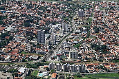
The following transit lines have routes that pass near Caçapava
Click on the bus route to see step by step directions with maps, line arrival times and updated time schedules.
The closest stations to Caçapava are:
These bus lines stop near Caçapava: 5202, 5305.
The nearest bus stop to Caçapava is Rodovia Presidente Dutra, 2890-3166. It’s a 7 min walk away.
The 5111 is the first bus that goes to Caçapava. It stops nearby at 5:20 AM.
The 5202 is the last bus that goes to Caçapava. It stops nearby at 12:08 AM.
Wondering how to get to Caçapava, Brazil? Moovit helps you find the best way to get to Caçapava with step-by-step directions from the nearest public transit station.
Moovit provides free maps and live directions to help you navigate through your city. View schedules, routes, timetables, and find out how long does it take to get to Caçapava in real time.
Looking for the nearest stop or station to Caçapava? Check out this list of stops closest to your destination: Rodovia Presidente Dutra; Rodovia Vito Ardito; Rodovia Vito Ardito 611.
Bus:
Want to see if there’s another route that gets you there at an earlier time? Moovit helps you find alternative routes or times. Get directions from and directions to Caçapava easily from the Moovit App or Website.
We make riding to Caçapava easy, which is why over 1.5 million users, including users in Taubate Region, trust Moovit as the best app for public transit. You don’t need to download an individual bus app or train app, Moovit is your all-in-one transit app that helps you find the best bus time or train time available.
For information on prices of bus, costs and ride fares to Caçapava, please check the Moovit app.
Use the app to navigate to popular places including to the airport, hospital, stadium, grocery store, mall, coffee shop, school, college, and university.
Location: Taubate Region
Traveling around Taubate Region has never been so easy. See step by step directions as you travel to any attraction, street or major public transit station. View bus and train schedules, arrival times, service alerts and detailed routes on a map, so you know exactly how to get to anywhere in Taubate Region.
When traveling to any destination around Taubate Region use Moovit's Live Directions with Get Off Notifications to know exactly where and how far to walk, how long to wait for your line, and how many stops are left. Moovit will alert you when it's time to get off — no need to constantly re-check whether yours is the next stop.
Wondering how to use public transit in Taubate Region or how to pay for public transit in Taubate Region? Moovit public transit app can help you navigate your way with public transit easily, and at minimum cost. It includes public transit fees, ticket prices, and costs. Looking for a map of Taubate Region public transit lines? Moovit public transit app shows all public transit maps in Taubate Region with all bus routes and stops on an interactive map.
Taubate Region has 1 transit type(s), including: bus, operated by several transit agencies, including ABC TRANSPORTES VALE DO PARAÍBA LTDA., TUG - Transporte Urbano de Guaratinguetá, Pássaro Marron (EMTU), ABC Transportes (Caçapava), Utile Urbano (Lorena), Viação Jacareí, BonTur, Estrada de Ferro Campos de Jordão, Estrada de Ferro Campos de Jordão, TAU! Transporte Acessível Urbano(Taubaté), Viação na Montanha, Viva Pinda, Utile Urbano (Cruzeiro) and Rodoviário Oceano