How to get to Cadiz Store by bus?
Click on the bus route to see step by step directions with maps, line arrival times and updated time schedules.
From Urbanización Vipol de Naranjal, San Martin
54 minFrom Av Puno 364 Comas Km 11 de la Av Tupac Amaru, Comas
55 minFrom Colectivos A Canta, Carabayllo
47 minFrom Oficina de Registro Militar 034, Comas
60 minFrom Paradero Final Salamanca, Carabayllo
35 minFrom La Pascana, Comas
61 minFrom Paradero Tres Postes, Los Olivos
37 minFrom Avenida Tupac Amaru, Comas
55 minFrom Comas, Comas
53 minFrom U. P. N., Los Olivos
40 min
Bus stops near Cadiz Store in Puente Pie
Bus lines to Cadiz Store in Puente Pie
- 1186, Pte. Piedra - Carabayllo - Pte. Piedra,VIEW
- 1016, La Florida (Ancon) - Aviación (La Victoria),VIEW
- 1017, Ancón - La Victoria,VIEW
- 1131, Gamarra (La Victoria),VIEW
- 1160, Pachacútec (Ventanilla) - Gamarra (La Victoria),VIEW
- 1168, Ventanilla - Panam. Norte - Alfonso Ugarte - Salaverry - Panamericana Norte - Ancón,VIEW
- 1184, Las Palmas (Pachacamac) - Profam (Santa Rosa),VIEW
- 1238, El Sol (Villa El Salvador) - Lomas (Carabayllo),VIEW
- 1239, Av. Lima (Villa El Salvador) - Zapallal (Puente Piedra),VIEW
- 1241, Puente Piedra - Lurin,VIEW
- 1242, Santa Rosa (Ancón) - Quebrada Verde (Pachacamac),VIEW
- 1246, Chepen (Villa El Salvador),VIEW
- 1262, Pastor Sevilla (Villa El Salvador) - Pachacútec (Ventanilla),VIEW
- 1287, Jicamarca (S.J.L) - Profam (Santa Rosa),VIEW
- 1338, La Playa (Ventanilla) - La Paz (La Perla),VIEW
- 1448, Pachacútec (Ventanilla) - Av. Venezuela (San Miguel),VIEW
- 1468, Miramar (Ancón) - Atocongo (San Juan de Miraflores),VIEW
- CR43, Carabayllo - Ventanilla,VIEW
- 1260, Huaycán (Ate) - Pachacútec (Ventanilla),VIEW
- 1102, Pte. Piedra - Carabayllo,VIEW
What are the closest stations to Cadiz Store?
The closest stations to Cadiz Store are:
- Buenos Aires is 421 meters away, 6 min walk.
- Tottus is 621 meters away, 8 min walk.
- Óvalo Puente Piedra is 690 meters away, 9 min walk.
- Avenida San Juan De Dios, 115 is 728 meters away, 10 min walk.
Which bus lines stop near Cadiz Store?
These bus lines stop near Cadiz Store: 1131, 1239, 1260, 1326, AN12.
What’s the nearest bus station to Cadiz Store in Puente Pie?
The nearest bus station to Cadiz Store in Puente Pie is Buenos Aires. It’s a 6 min walk away.
What time is the first bus to Cadiz Store in Puente Pie?
The 1240 is the first bus that goes to Cadiz Store in Puente Pie. It stops nearby at 4:05 AM.
What time is the last bus to Cadiz Store in Puente Pie?
The 1168 is the last bus that goes to Cadiz Store in Puente Pie. It stops nearby at 1:09 AM.
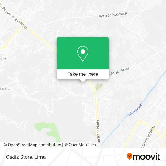
See Cadiz Store, Puente Pie, on the map
Public Transit to Cadiz Store in Puente Pie
Wondering how to get to Cadiz Store in Puente Pie? Moovit helps you find the best way to get to Cadiz Store with step-by-step directions from the nearest public transit station.
Moovit provides free maps and live directions to help you navigate through your city. View schedules, routes, timetables, and find out how long does it take to get to Cadiz Store in real time.
Looking for the nearest stop or station to Cadiz Store? Check out this list of stops closest to your destination: Buenos Aires; Tottus; Óvalo Puente Piedra; Avenida San Juan De Dios.
Bus: 1131, 1239, 1260, 1326, AN12, 1186, 1016, 1017, 1160, 1168, 1102, 1325, 1179, 1240, SEP-A.
Want to see if there’s another route that gets you there at an earlier time? Moovit helps you find alternative routes or times. Get directions from and directions to Cadiz Store easily from the Moovit App or Website.
We make riding to Cadiz Store easy, which is why over 1.5 million users, including users in Puente Pie, trust Moovit as the best app for public transit. You don’t need to download an individual bus app or train app, Moovit is your all-in-one transit app that helps you find the best bus time or train time available.
For information on prices of bus, costs and ride fares to Cadiz Store, please check the Moovit app.
Use the app to navigate to popular places including to the airport, hospital, stadium, grocery store, mall, coffee shop, school, college, and university.
Cadiz Store Address: Avenida La Victoria 132 Cercado, 15118 Puente Piedra street in Puente Pie
- Acaf Asociación Civil Apoyo Familiar,
- Boutique Cem,
- Puente Piedra,
- Las Divas Night Club,
- Colegio Sarmiento,
- Pedagógico América,
- Hermandad de la Santísima Cruz de Tushpuna - Lima,
- Institución Educativa Augusto B. Leguía,
- Consultorio Dental L y S,
- Club Social Tocache - Lima,
- La Unica Discoteck Soritor,
- Compuman E.I.R.L,
- Alameda Saenz Peña,
- Hospedaje Residencial Paris,
- Funeraria Santo Cristo de Bagazan Eirl,
- Club de Aventureros y Castorcitos Sear Jasub-Tarapoto,
- Parque La Victoria,
- Avenida Miguel Grau,
- Lozano Cubas Luis Lorenzo,
- Masajes Holísticos Puente Piedra
Places Near Cadiz Store (Puente Pie)
- av arequipa, Lima,
- Parque de las Leyendas, San Miguel,
- Barranco, Barranco,
- Plaza San Miguel, San Miguel,
- Miraflores, Miraflores,
- Real Plaza Puruchuco, Ate,
- Paradero Av.Brasil,
- Av. La Marina, San Miguel,
- Jockey Plaza, Santiago D,
- Parque Kennedy, Miraflores,
- Av. Salaverry, Jesus Mari,
- Pontificia Universidad Católica del Perú - PUCP, San Miguel,
- Larcomar, Miraflores,
- Circuito Mágico Del Agua, Lima,
- Av. Abancay, Lima,
- Aeropuerto Internacional Jorge Chávez, Ventanilla,
- Gamarra,
- Centro Comercial Plaza Norte, Independen,
- Mall Del Sur,
- Hospital Edgardo Rebagliati Martins, Jesus Mari
How to get to popular places in Lima with public transit
Get around Puente Pie by public transit!
Traveling around Puente Pie has never been so easy. See step by step directions as you travel to any attraction, street or major public transit station. View bus and train schedules, arrival times, service alerts and detailed routes on a map, so you know exactly how to get to anywhere in Puente Pie.
When traveling to any destination around Puente Pie use Moovit's Live Directions with Get Off Notifications to know exactly where and how far to walk, how long to wait for your line, and how many stops are left. Moovit will alert you when it's time to get off — no need to constantly re-check whether yours is the next stop.
Wondering how to use public transit in Puente Pie or how to pay for public transit in Puente Pie? Moovit public transit app can help you navigate your way with public transit easily, and at minimum cost. It includes public transit fees, ticket prices, and costs. Looking for a map of Puente Pie public transit lines? Moovit public transit app shows all public transit maps in Puente Pie with all Bus, Metro and Ferry routes and stops on an interactive map.
Lima has 3 transit type(s), including: Bus, Metro and Ferry, operated by several transit agencies, including Metro de Lima Línea 2 , Metro de Lima, Corredor Rojo, Metropolitano, Metropolitano - Alimentadores, Corredor Morado, Corredor Azul, Rutas Tradicionales, Transportes y Servicios La Esperanza S.A., Las Flores S.A., Virgen de la Asunción S.A., Consorcio HAM, Transportes y Service Canadá S.A., ETUL4SA and ETUCHISA