California St & Spruce St stop - Thursday schedule
| Line | Direction | Time |
|---|---|---|
| 1 | Drumm + Clay | 5:13 AM |
| 1 | Drumm + Clay | 5:28 AM |
| 1 | Drumm + Clay | 5:43 AM |
| 1 | Drumm + Clay | 5:55 AM |
| 1 | Drumm + Clay | 6:07 AM |
| 1 | Drumm + Clay | 6:18 AM |
| 1 | Drumm + Clay | 6:29 AM |
| 1 | Drumm + Clay | 6:39 AM |
| 1 | Drumm + Clay | 6:49 AM |
| 1 | Drumm + Clay | 7:00 AM |
| 1 | Drumm + Clay | 7:10 AM |
| 1 | Drumm + Clay | 7:22 AM |
| 1X | Financial District | 7:29 AM |
| 1 | Drumm + Clay | 7:33 AM |
| 1 | Drumm + Clay | 7:43 AM |
| 1X | Financial District | 7:44 AM |
| 1 | Drumm + Clay | 7:53 AM |
| 1X | Financial District | 7:54 AM |
| 1 | Drumm + Clay | 8:03 AM |
| 1X | Financial District | 8:09 AM |
| 1 | Drumm + Clay | 8:13 AM |
| 1 | Drumm + Clay | 8:23 AM |
| 1 | Drumm + Clay | 8:33 AM |
| 1X | Financial District | 8:34 AM |
| 1 | Drumm + Clay | 8:43 AM |
Directions to California St & Spruce St stop (Presidio Heights) with public transit
The following transit lines have routes that pass near California St & Spruce St
 Bus: 1, 1X, 33, 2, 38.
- Cable Car: CA.
How to get to California St & Spruce St stop by bus?
Click on the bus route to see step by step directions with maps, line arrival times and updated time schedules.
Bus stops near California St & Spruce St stop in Presidio Heights
- California St & Spruce St, 2 min walk,
- California St & Cherry St, 4 min walk,
- California St & Presidio Ave, 6 min walk,
- Geary Blvd & Spruce St, 8 min walk,
Cable Car stations near California St & Spruce St station in Presidio Heights
- California St & Van Ness Ave, 37 min walk,
Light Rail stations near California St & Spruce St station in Presidio Heights
- Duboce St/Noe St/Duboce Park, 46 min walk,
Bus lines to California St & Spruce St stop in Presidio Heights
- 1, Geary + 33rd Avenue,
- 1X, Financial District,
- 33, Sacramento + Cherry,
- 2, California + Presidio Avenue,
- 38, V. A. Hospital,
What are the closest stations to California St & Spruce St?
The closest stations to California St & Spruce St are:
- California St & Spruce St stop is 89 yards away, 2 min walk.
- California St & Cherry St stop is 278 yards away, 4 min walk.
- California St & Presidio Ave stop is 416 yards away, 6 min walk.
- Geary Blvd & Spruce St stop is 680 yards away, 8 min walk.
- California St & Van Ness Ave station is 3144 yards away, 37 min walk.
- Duboce St/Noe St/Duboce Park station is 3828 yards away, 46 min walk.
Which bus line stops near California St & Spruce St?
1 (Drumm + Clay)
What’s the nearest bus station to California St & Spruce St in Presidio Heights?
The nearest bus station to California St & Spruce St in Presidio Heights is California St & Spruce St. It’s a 2 min walk away.
What time is the first light rail to California St & Spruce St in Presidio Heights?
The N is the first light rail that goes to California St & Spruce St in Presidio Heights. It stops nearby at 4:52 AM.
What time is the last light rail to California St & Spruce St in Presidio Heights?
The N is the last light rail that goes to California St & Spruce St in Presidio Heights. It stops nearby at 1:03 AM.
What time is the first bus to California St & Spruce St in Presidio Heights?
The 38 is the first bus that goes to California St & Spruce St in Presidio Heights. It stops nearby at 3:00 AM.
What time is the last bus to California St & Spruce St in Presidio Heights?
The 38 is the last bus that goes to California St & Spruce St in Presidio Heights. It stops nearby at 3:00 AM.
What time is the first cable car to California St & Spruce St in Presidio Heights?
The CA is the first cable car that goes to California St & Spruce St in Presidio Heights. It stops nearby at 6:53 AM.
What time is the last cable car to California St & Spruce St in Presidio Heights?
The CA is the last cable car that goes to California St & Spruce St in Presidio Heights. It stops nearby at 9:42 PM.
California St & Spruce St station
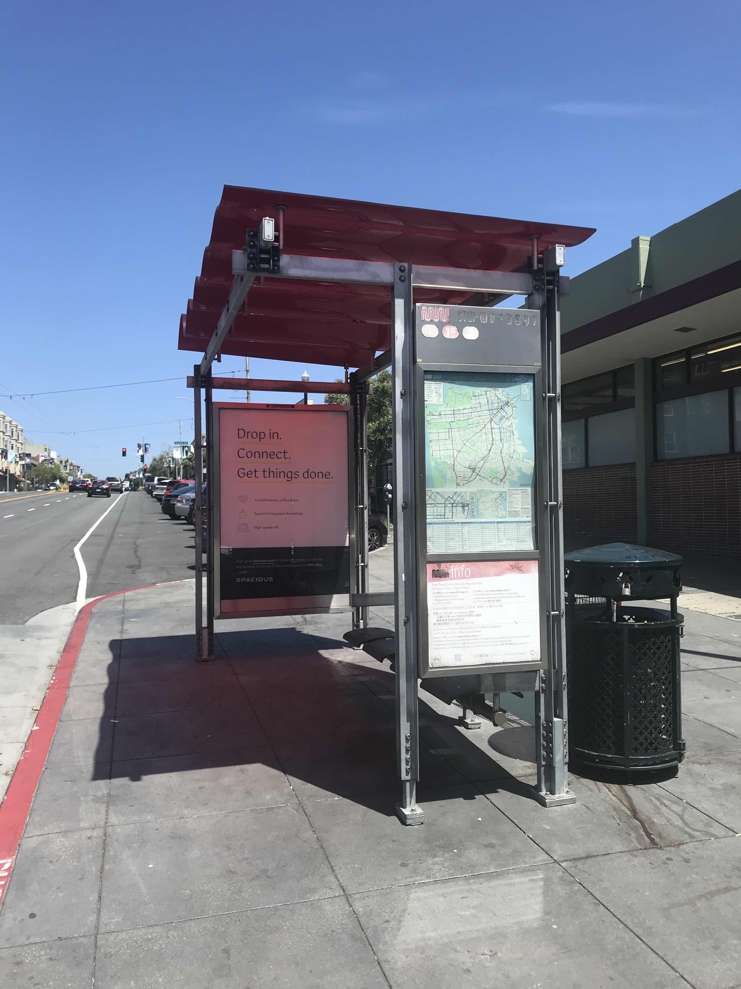 Taken by Bestest E.
See California St & Spruce St stop, Presidio Heights, on the map
Public transit to California St & Spruce St stop (ID: 13897) in Presidio Heights
Looking for directions to California St & Spruce St in Presidio Heights, United States?
Download the Moovit App to find the current schedule and step-by-step directions for Bus or Light Rail routes that pass through California St & Spruce St.
Looking for the nearest stops closest to California St & Spruce St ? Check out this list of closest stops to your destination: California St & Spruce St; California St & Cherry St; California St & Presidio Ave; Geary Blvd & Spruce St; California St & Van Ness Ave; Duboce St/Noe St/Duboce Park.
Bus: 1, 1X, 33, 2, 38.Cable Car: CA.
We make riding on public transit to California St & Spruce St easy, which is why over 1.7 billion users, including users in Presidio Heights trust Moovit as the best app for public transit.
Use the app to navigate to popular places including to the airport, hospital, stadium, grocery store, mall, coffee shop, school, college, and university.
California St & Spruce St stop’s code is 13897
The first line to this stop is 1, at 5:13 AM, and the last line is 1 at 12:35 AM.
3584 California St, San Francisco, CA, USA
This stop serves MUNI’s lines
- California St & Spruce St,
- California St & Cherry St,
- California St & Presidio Ave,
- Geary Blvd & Spruce St
Bus stops near California St & Spruce St stop
- California St & Van Ness Ave
Cable Car station near California St & Spruce St station
- Duboce St/Noe St/Duboce Park
Light Rail station near California St & Spruce St station
- Monterey & 3rd (Dtwn Morgan Hill) (S),
- North Berkeley,
- Pacific Ave & Stockton St,
- Calaveras Landing Shopping Center,
- Bollinger & Miller (W),
- Noriega St & Sunset Blvd,
- Euclid Av & Eunice St,
- Ashby Station,
- Broadway & 12th St (12th St BART),
- East Leland Rd & Railroad Ave,
- Lincoln Ave & Mission Ave,
- Market St & 4th St,
- Coleman & Earthquakes (W),
- Noriega St & 48th Ave,
- Arguello Blvd & Geary Blvd,
- Bollinger Canyon Rd and Canyon View Cir,
- Broadway & Thomas L Berkley Way (20th St),
- Canal St & Sonoma St,
- Berkeley,
- Harrison St & Moss Av
Popular public transit stations in Presidio Heights
Get around Presidio Heights by public transit!
Traveling around Presidio Heights has never been so easy. See step by step directions as you travel to any attraction, street or major public transit station. View bus and train schedules, arrival times, service alerts and detailed routes on a map, so you know exactly how to get to anywhere in Presidio Heights.
When traveling to any destination around Presidio Heights use Moovit's Live Directions with Get Off Notifications to know exactly where and how far to walk, how long to wait for your line, and how many stops are left. Moovit will alert you when it's time to get off — no need to constantly re-check whether yours is the next stop.
Wondering how to use public transit in Presidio Heights or how to pay for public transit in Presidio Heights? Moovit public transit app can help you navigate your way with public transit easily, and at minimum cost. It includes public transit fees, ticket prices, and costs. Looking for a map of Presidio Heights public transit lines? Moovit public transit app shows all public transit maps in Presidio Heights with all Bus, Train, BART, Light Rail, Ferry and Cable Car routes and stops on an interactive map.
San Francisco - San Jose, CA has 6 transit type(s), including: Bus, Train, BART, Light Rail, Ferry and Cable Car, operated by several transit agencies, including BART, Muni Metro, Caltrain, VTA, Capitol Corridor, Sonoma-Marin Area Rail Transit, MUNI, SF Cable Car, AC Transit , AC Transit, Dumbarton Express, Golden Gate Transit, County Connection, SamTrans and SamTrans / City of Menlo Park