California / Tweedy stop - Monday schedule
| Line | Direction | Time |
|---|---|---|
| 251 | Eagle Rock Plaza | 4:47 AM |
| 251 | Avenue 26 - Figueroa | 5:05 AM |
| 251 | Avenue 26 - Figueroa | 5:27 AM |
| 251 | Avenue 26 - Figueroa | 5:47 AM |
| 251 | Avenue 26 - Figueroa | 6:03 AM |
| 251 | Avenue 26 - Figueroa | 6:22 AM |
| 251 | Eagle Rock Plaza | 6:31 AM |
| 251 | Avenue 26 - Figueroa | 6:41 AM |
| 251 | Eagle Rock Plaza | 6:49 AM |
| 251 | Eagle Rock Plaza | 6:57 AM |
| 251 | Avenue 26 - Figueroa | 7:07 AM |
| 251 | Eagle Rock Plaza | 7:16 AM |
| 251 | Avenue 26 - Figueroa | 7:25 AM |
| 251 | Eagle Rock Plaza | 7:34 AM |
| 251 | Avenue 26 - Figueroa | 7:47 AM |
| 251 | Eagle Rock Plaza | 7:59 AM |
| 251 | Avenue 26 - Figueroa | 8:10 AM |
| 251 | Eagle Rock Plaza | 8:20 AM |
| 251 | Avenue 26 - Figueroa | 8:32 AM |
| 251 | Eagle Rock Plaza | 8:42 AM |
| 251 | Avenue 26 - Figueroa | 8:52 AM |
| 251 | Eagle Rock Plaza | 9:02 AM |
| 251 | Avenue 26 - Figueroa | 9:12 AM |
| 251 | Avenue 26 - Figueroa | 9:32 AM |
| 251 | Avenue 26 - Figueroa | 9:50 AM |
Directions to California / Tweedy stop (South Gate) with public transit
The following transit lines have routes that pass near California / Tweedy
 Bus: 117, 251, C.
- Subway: C LINE, A LINE.
How to get to California / Tweedy stop by bus?
Click on the bus route to see step by step directions with maps, line arrival times and updated time schedules.
How to get to California / Tweedy stop by subway?
Click on the subway route to see step by step directions with maps, line arrival times and updated time schedules.
Bus stops near California / Tweedy stop in South Gate
- California / Tweedy, 1 min walk,
- Tweedy / California, 1 min walk,
- [Route C] State St & Tweedy Blvd, 9 min walk,
Subway stations near California / Tweedy station in South Gate
- Willowbrook - Rosa Parks Station, 46 min walk,
Bus lines to California / Tweedy stop in South Gate
- 251, Eagle Rock Plaza,
- 117, LAX / Metro Transit Center,
- C, C Loop,
What are the closest stations to California / Tweedy?
The closest stations to California / Tweedy are:
- California / Tweedy is 45 yards away, 1 min walk.
- Tweedy / California is 57 yards away, 1 min walk.
- [Route C] State St & Tweedy Blvd is 666 yards away, 9 min walk.
- Willowbrook - Rosa Parks Station is 3852 yards away, 46 min walk.
Which bus lines stop near California / Tweedy?
These bus lines stop near California / Tweedy: 117, 251.
Which subway line stops near California / Tweedy?
C LINE (Westbound to LAX / Metro Transit Center)
What’s the nearest bus station to California / Tweedy in South Gate?
The nearest bus stations to California / Tweedy in South Gate are California / Tweedy and Tweedy / California. The closest one is a 1 min walk away.
What time is the first subway to California / Tweedy in South Gate?
The C LINE is the first subway that goes to California / Tweedy in South Gate. It stops nearby at 3:33 AM.
What time is the last subway to California / Tweedy in South Gate?
The A LINE is the last subway that goes to California / Tweedy in South Gate. It stops nearby at 1:16 AM.
What time is the first bus to California / Tweedy in South Gate?
The 251 is the first bus that goes to California / Tweedy in South Gate. It stops nearby at 3:17 AM.
What time is the last bus to California / Tweedy in South Gate?
The 251 is the last bus that goes to California / Tweedy in South Gate. It stops nearby at 3:18 AM.
California / Tweedy station
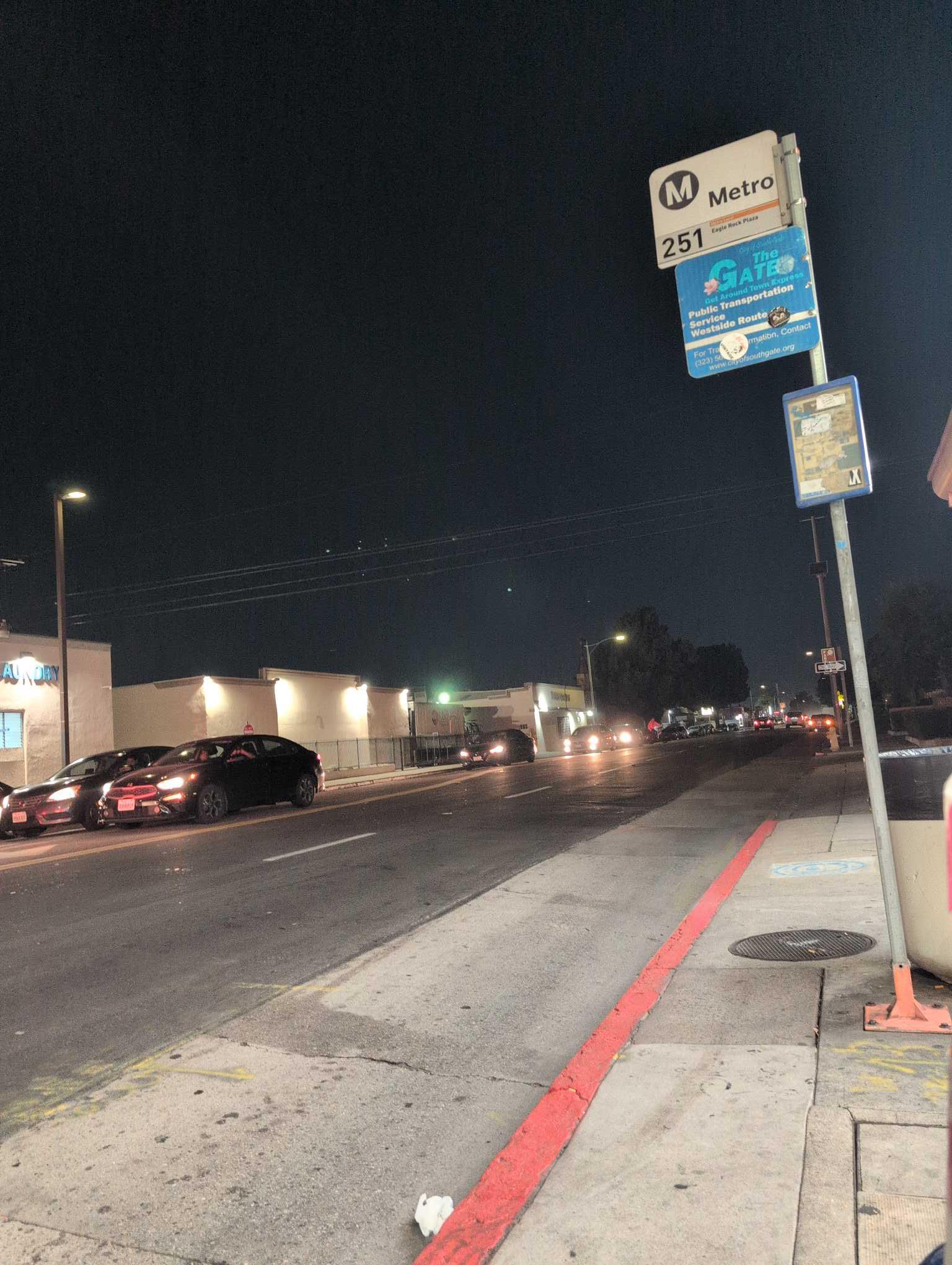 Taken by Anonymous
See California / Tweedy stop, South Gate, on the map
Public transit to California / Tweedy stop (ID: 567) in South Gate
Looking for directions to California / Tweedy in South Gate, United States?
Download the Moovit App to find the current schedule and step-by-step directions for Bus or Subway routes that pass through California / Tweedy.
Looking for the nearest stops closest to California / Tweedy ? Check out this list of closest stops to your destination: California / Tweedy; Tweedy / California; [Route C] State St & Tweedy Blvd; Willowbrook - Rosa Parks Station.
Bus: 117, 251, C.Subway: C LINE, A LINE.
We make riding on public transit to California / Tweedy easy, which is why over 1.5 million users, including users in South Gate trust Moovit as the best app for public transit.
Use the app to navigate to popular places including to the airport, hospital, stadium, grocery store, mall, coffee shop, school, college, and university.
California / Tweedy stop’s code is 567
The first line to this stop is 251, at 4:47 AM, and the last line is 251 at 4:22 AM.
3505 Tweedy Blvd, South Gate, CA, USA
This stop serves Metro’s lines
Popular routes from California / Tweedy stop, South Gate
- California / Tweedy,
- Tweedy / California,
- [Route C] State St & Tweedy Blvd
Bus stops near California / Tweedy stop
- Willowbrook - Rosa Parks Station
Subway station near California / Tweedy station
- Hollywood / Las Palmas,
- Beverly / Larchmont,
- Firestone / Otis,
- Florence Ave & Santa Fe Ave,
- Pacific Coast Hwy & Vermont Ave (Eastbound),
- 3rd / LA Brea,
- Rosecrans / Woodruff,
- Fullerton Trans Ctr Dock 1,
- Orange Grove Blvd & Marengo Ave,
- Fallbrook / Victory,
- Lankershim / Victory,
- Vermont / Sunset Station,
- 7th St. & Pacific Ave.,
- 6th / Flower,
- Pacific Coast Highway / Topanga Canyon,
- Sunset / Western,
- Balboa & Roscoe,
- Compton Ave & 83rd St,
- Soto / Olympic,
- Santa Clara and Oak WB (Downtown Ventura)
Popular public transit stations in South Gate
Get around South Gate by public transit!
Traveling around South Gate has never been so easy. See step by step directions as you travel to any attraction, street or major public transit station. View bus and train schedules, arrival times, service alerts and detailed routes on a map, so you know exactly how to get to anywhere in South Gate.
When traveling to any destination around South Gate use Moovit's Live Directions with Get Off Notifications to know exactly where and how far to walk, how long to wait for your line, and how many stops are left. Moovit will alert you when it's time to get off — no need to constantly re-check whether yours is the next stop.
Wondering how to use public transit in South Gate or how to pay for public transit in South Gate? Moovit public transit app can help you navigate your way with public transit easily, and at minimum cost. It includes public transit fees, ticket prices, and costs. Looking for a map of South Gate public transit lines? Moovit public transit app shows all public transit maps in South Gate with all Bus, Train, Subway, Ferry and Funicular routes and stops on an interactive map.
Los Angeles has 5 transit type(s), including: Bus, Train, Subway, Ferry and Funicular, operated by several transit agencies, including Metro, Metro Shuttles, Alhambra Community Transit, Arcadia Transit, Artesia Transit, AVTA, Baldwin Park Transit, Beach Cities Transit, Beaumont Transit, Bell Gardens Town Trolley, Bellflower Bus, Big Blue Bus, Burbank Bus, Calabasas Trolley and Camarillo Area Transit