How to get to Calzacentro by bus?
Click on the bus route to see step by step directions with maps, line arrival times and updated time schedules.
From Jesús Rivera Franco C-18E 409, Aguascalientes
53 minFrom Fracc. Potreros del Oeste, Aguascalientes
56 minFrom Hopaliz Eventos, Aguascalientes
56 minFrom Fracc. José López Portillo, Aguascalientes
66 minFrom Mahatma Gandhi 203 Colonia San Pedro Aguascalientes, Aguascalientes
58 minFrom Fraccionamiento El Mezquital, Aguascalientes
47 minFrom Centro Regional De Educación Normal De Aguascalientes, Aguascalientes
62 minFrom Finanzas, Aguascalientes
35 minFrom Templo San Judas Tadeo, Aguascalientes
64 minFrom Copy Dos, Aguascalientes
47 min
Bus stops near Calzacentro in Aguascalientes
Bus lines to Calzacentro in Aguascalientes
What are the closest stations to Calzacentro?
The closest stations to Calzacentro are:
- Avenida Siglo Xxi, 2100 is 390 meters away, 6 min walk.
- Avenida Siglo Xxi, 16 is 454 meters away, 6 min walk.
Which bus lines stop near Calzacentro?
These bus lines stop near Calzacentro: RUTA 30, RUTA 43, RUTA 50.
What’s the nearest bus station to Calzacentro in Aguascalientes?
The nearest bus stations to Calzacentro in Aguascalientes are Avenida Siglo Xxi, 2100 and Avenida Siglo Xxi, 16. The closest one is a 6 min walk away.
What time is the first bus to Calzacentro in Aguascalientes?
The RUTA 30 is the first bus that goes to Calzacentro in Aguascalientes. It stops nearby at 5:53 AM.
What time is the last bus to Calzacentro in Aguascalientes?
The RUTA 43 is the last bus that goes to Calzacentro in Aguascalientes. It stops nearby at 10:42 PM.
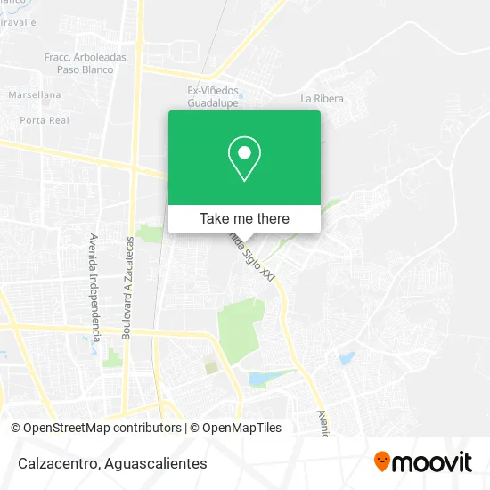
See Calzacentro, Aguascalientes, on the map
Public Transit to Calzacentro in Aguascalientes
Wondering how to get to Calzacentro in Aguascalientes? Moovit helps you find the best way to get to Calzacentro with step-by-step directions from the nearest public transit station.
Moovit provides free maps and live directions to help you navigate through your city. View schedules, routes, timetables, and find out how long does it take to get to Calzacentro in real time.
Looking for the nearest stop or station to Calzacentro? Check out this list of stops closest to your destination: Avenida Siglo Xxi; Avenida Siglo Xxi.
Bus: RUTA 30, RUTA 43, RUTA 50, RUTA 08, RUTA 23, RUTA 34, RUTA 37.
Want to see if there’s another route that gets you there at an earlier time? Moovit helps you find alternative routes or times. Get directions from and directions to Calzacentro easily from the Moovit App or Website.
We make riding to Calzacentro easy, which is why over 1.5 million users, including users in Aguascalientes, trust Moovit as the best app for public transit. You don’t need to download an individual bus app or train app, Moovit is your all-in-one transit app that helps you find the best bus time or train time available.
For information on prices of bus, costs and ride fares to Calzacentro, please check the Moovit app.
Use the app to navigate to popular places including to the airport, hospital, stadium, grocery store, mall, coffee shop, school, college, and university.
Calzacentro Address: Avenida Siglo XXI 1207, Ntra Sra de la Asunción Sect S Marc, 20126 Aguascalientes, Aguascalientes street in Aguascalientes
- Yonke Monkey,
- Flick - Instituto de Idiomas,
- Asesores Profecionales en Soluciones Integrales,
- Servicio Automotriz Express Norte,
- Instituto de Lenguas Extranjeras Coachin,
- Quimicos Fragoso Laboratorio,
- Venta de Pozole,
- Prestamos Avance,
- Mano con Mano,
- SSI BETANZOS SA DE CV,
- Turismo Medina Bosques,
- Mudanzas y Fletes Bear del Centro Aguascalientes,
- WESTERN UNION,
- Cerrajeria Las Villas,
- Mami Cocina,
- Profialum,
- Cocina Economica,
- Cooperativa Escolar Turno Matutino,
- Bazar de Muebles Usados,
- Papelería Las Gemelas
Places Near Calzacentro (Aguascalientes)
- Aeropuerto de Aguascalientes S.A. de C.V., Aguascalientes,
- clinica 3 uaa, Aguascalientes,
- Terminal De Combis, Aguascalientes,
- ESPACIOS, Aguascalientes,
- Centro, Aguascalientes,
- Jesús María, Aguascalientes,
- Agropecuario, Aguascalientes,
- La Isla San Marcos, Aguascalientes,
- Hospital Imss No. 3, Aguascalientes,
- Imss Clinica 1, Aguascalientes,
- Nuevo Hospital Hidalgo, Aguascalientes,
- Ciudad industrial, Aguascalientes,
- Villas de Nuestra Señora de la Asunción, Aguascalientes,
- Isla San Marcos, Aguascalientes,
- Central De Autobuses, Aguascalientes,
- Blvd. Luis Donaldo Colosio, Aguascalientes,
- Universidad Autónoma de Aguascalientes, Aguascalientes,
- Centro Comercial Altaria, Aguascalientes,
- Villasuncion, Aguascalientes,
- Parque Las Tres Centurias, Aguascalientes
How to get to popular places in Aguascalientes with public transit
Get around Aguascalientes by public transit!
Traveling around Aguascalientes has never been so easy. See step by step directions as you travel to any attraction, street or major public transit station. View bus and train schedules, arrival times, service alerts and detailed routes on a map, so you know exactly how to get to anywhere in Aguascalientes.
When traveling to any destination around Aguascalientes use Moovit's Live Directions with Get Off Notifications to know exactly where and how far to walk, how long to wait for your line, and how many stops are left. Moovit will alert you when it's time to get off — no need to constantly re-check whether yours is the next stop.
Wondering how to use public transit in Aguascalientes or how to pay for public transit in Aguascalientes? Moovit public transit app can help you navigate your way with public transit easily, and at minimum cost. It includes public transit fees, ticket prices, and costs. Looking for a map of Aguascalientes public transit lines? Moovit public transit app shows all public transit maps in Aguascalientes with all bus routes and stops on an interactive map.
Aguascalientes has 1 transit type(s), including: bus, operated by several transit agencies, including Coordinación General de Movilidad