How to get to Cancha de Futbol by bus?
Click on the bus route to see step by step directions with maps, line arrival times and updated time schedules.
From Auditorio DIMO, Aguascalientes
27 minFrom Cavalia Residencial, Aguascalientes
56 minFrom Fracc. San Marcos, Aguascalientes
40 minFrom Capilla San Peregrino Laziosi, Aguascalientes
64 minFrom Comunidad Los Pocitos, Aguascalientes
61 minFrom Jardines del Lago, Aguascalientes
53 minFrom Fracc Cartagena 1947, Aguascalientes
52 minFrom Casa Club Necaxa, Aguascalientes
65 minFrom Salon del Reino de los Testigos de Jehová, Aguascalientes
36 min
Bus stops near Cancha de Futbol in Aguascalientes
Bus lines to Cancha de Futbol in Aguascalientes
- RUTA 29, Centro (Jardínde Zaragoza),VIEW
- RUTA 40, Terminal Oriente - Terminal Oriente (N),VIEW
- RUTA 47, Clínica 10,VIEW
- RUTA 40, Terminal Oriente - Terminal Oriente (S),VIEW
- RUTA 39, Centro (Jardínde Zaragoza),VIEW
- RUTA 12, Vicente Guerrero - Lunaria,VIEW
- RUTA 27, Vicente Guerrero - Valle de los Cactus,VIEW
- RUTA 41, EATON - Terminal Oriente (PENAL),VIEW
- RUTA 46, Vicente Guerrero - Calvillito,VIEW
- RUTA 35, Lunaria,VIEW
What are the closest stations to Cancha de Futbol?
The closest stations to Cancha de Futbol are:
- Avenida Aguascalientes Oriente, 706 is 8 meters away, 1 min walk.
- Avenida Aguascalientes Oriente, 3198 is 277 meters away, 4 min walk.
- Avenida Paseo De Ojocaliente, Lb is 349 meters away, 5 min walk.
- Avenida Tecnológico, 204 is 581 meters away, 8 min walk.
- Avenida Tecnológico, 111 is 619 meters away, 9 min walk.
Which bus lines stop near Cancha de Futbol?
These bus lines stop near Cancha de Futbol: RUTA 40, RUTA 41, RUTA 47.
What’s the nearest bus station to Cancha de Futbol in Aguascalientes?
The nearest bus station to Cancha de Futbol in Aguascalientes is Avenida Aguascalientes Oriente, 706. It’s a 1 min walk away.
What time is the first bus to Cancha de Futbol in Aguascalientes?
The RUTA 40 is the first bus that goes to Cancha de Futbol in Aguascalientes. It stops nearby at 5:48 AM.
What time is the last bus to Cancha de Futbol in Aguascalientes?
The RUTA 29 is the last bus that goes to Cancha de Futbol in Aguascalientes. It stops nearby at 10:37 PM.
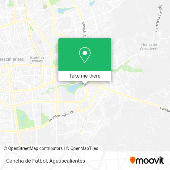
See Cancha de Futbol, Aguascalientes, on the map
Public Transit to Cancha de Futbol in Aguascalientes
Wondering how to get to Cancha de Futbol in Aguascalientes? Moovit helps you find the best way to get to Cancha de Futbol with step-by-step directions from the nearest public transit station.
Moovit provides free maps and live directions to help you navigate through your city. View schedules, routes, timetables, and find out how long does it take to get to Cancha de Futbol in real time.
Looking for the nearest stop or station to Cancha de Futbol? Check out this list of stops closest to your destination: Avenida Aguascalientes Oriente; Avenida Aguascalientes Oriente; Avenida Paseo De Ojocaliente; Avenida Tecnológico; Avenida Tecnológico.
Bus: RUTA 40, RUTA 41, RUTA 47, RUTA 29, RUTA 39, RUTA 12, RUTA 27, RUTA 46, RUTA 35.
Want to see if there’s another route that gets you there at an earlier time? Moovit helps you find alternative routes or times. Get directions from and directions to Cancha de Futbol easily from the Moovit App or Website.
We make riding to Cancha de Futbol easy, which is why over 1.7 million users, including users in Aguascalientes, trust Moovit as the best app for public transit. You don’t need to download an individual bus app or train app, Moovit is your all-in-one transit app that helps you find the best bus time or train time available.
For information on prices of bus, costs and ride fares to Cancha de Futbol, please check the Moovit app.
Use the app to navigate to popular places including to the airport, hospital, stadium, grocery store, mall, coffee shop, school, college, and university.
Cancha de Futbol Address: Cancha de Futbol, 2DO Anillo Periférico, Fracc Salto de Ojocaliente, 20263 Aguascalientes, Aguascal street in Aguascalientes
- José Guadalupe Posada,
- Tropa Scout Jaguares Aguascalientes,
- Confederación Nacional Campesina,
- Avenida Confederación Nacional Campesina 132,
- La Casa del adolescente,
- Seima,
- ESTETICA AMELIA,
- Juzgado Quinto De Lo Familiar,
- Centro De Justicia Para Las Mujeres,
- Parque Ecologico El Cedazo,
- IEA,
- Instituto de Educacion de Aguascalientes,
- Farmacia Benavides,
- Cendi Iea,
- Amerix Burger Municipio Libre,
- Abarrotes Gallegos,
- Fraccionamiento El Cedazo,
- Cendi Sep,
- El Cedazo,
- U-0002 Estancia Infantil Aguascalientes Ac
Places Near Cancha de Futbol (Aguascalientes)
- Centro Comercial Altaria, Aguascalientes,
- Villas de Nuestra Señora de la Asunción, Aguascalientes,
- Blvd. Luis Donaldo Colosio, Aguascalientes,
- Agropecuario, Aguascalientes,
- Universidad Autónoma de Aguascalientes, Aguascalientes,
- Central De Autobuses, Aguascalientes,
- Nuevo Hospital Hidalgo, Aguascalientes,
- Aeropuerto de Aguascalientes S.A. de C.V., Aguascalientes,
- La Isla San Marcos, Aguascalientes,
- Imss Clinica 1, Aguascalientes,
- Centro, Aguascalientes,
- Ciudad industrial, Aguascalientes,
- Parque Las Tres Centurias, Aguascalientes,
- Villasuncion, Aguascalientes,
- clinica 3 uaa, Aguascalientes,
- Hospital Imss No. 3, Aguascalientes,
- ESPACIOS, Aguascalientes,
- Isla San Marcos, Aguascalientes,
- Terminal De Combis, Aguascalientes,
- Jesús María, Aguascalientes
How to get to popular places in Aguascalientes with public transit
Get around Aguascalientes by public transit!
Traveling around Aguascalientes has never been so easy. See step by step directions as you travel to any attraction, street or major public transit station. View bus and train schedules, arrival times, service alerts and detailed routes on a map, so you know exactly how to get to anywhere in Aguascalientes.
When traveling to any destination around Aguascalientes use Moovit's Live Directions with Get Off Notifications to know exactly where and how far to walk, how long to wait for your line, and how many stops are left. Moovit will alert you when it's time to get off — no need to constantly re-check whether yours is the next stop.
Wondering how to use public transit in Aguascalientes or how to pay for public transit in Aguascalientes? Moovit public transit app can help you navigate your way with public transit easily, and at minimum cost. It includes public transit fees, ticket prices, and costs. Looking for a map of Aguascalientes public transit lines? Moovit public transit app shows all public transit maps in Aguascalientes with all bus routes and stops on an interactive map.
Aguascalientes has 1 transit type(s), including: bus, operated by several transit agencies, including Coordinación General de Movilidad