How to get to Cantera El Cedazo by bus?
Click on the bus route to see step by step directions with maps, line arrival times and updated time schedules.
From Campestre, Aguascalientes
61 minFrom Calle Benjamín de la Mora, Aguascalientes
29 minFrom Primer anillo y Avenida las Américas, Aguascalientes
65 minFrom San José de Los Reynoso, Aguascalientes
50 minFrom Fraccionamiento La Ribera, Aguascalientes
72 minFrom Casa Club Necaxa, Aguascalientes
66 minFrom Paseos de San Antonio, Aguascalientes
36 minFrom Escuela de Futbol Chivas San Marcos, Aguascalientes
56 minFrom Marriott Hotel, Aguascalientes
58 minFrom Enrique Olivares Santana, Aguascalientes
40 min
Bus stops near Cantera El Cedazo in Aguascalientes
Bus lines to Cantera El Cedazo in Aguascalientes
What are the closest stations to Cantera El Cedazo?
The closest stations to Cantera El Cedazo are:
- Avenida Siglo Xxi, 1502a is 113 meters away, 2 min walk.
- Esquina Cecytea Morelos is 282 meters away, 4 min walk.
- No Name is 743 meters away, 10 min walk.
Which bus lines stop near Cantera El Cedazo?
These bus lines stop near Cantera El Cedazo: RUTA 40, RUTA 47, RUTA 50.
What’s the nearest bus station to Cantera El Cedazo in Aguascalientes?
The nearest bus station to Cantera El Cedazo in Aguascalientes is Avenida Siglo Xxi, 1502a. It’s a 2 min walk away.
What time is the first bus to Cantera El Cedazo in Aguascalientes?
The RUTA 40 is the first bus that goes to Cantera El Cedazo in Aguascalientes. It stops nearby at 5:49 AM.
What time is the last bus to Cantera El Cedazo in Aguascalientes?
The RUTA 07 is the last bus that goes to Cantera El Cedazo in Aguascalientes. It stops nearby at 11:06 PM.
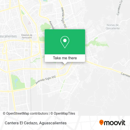
See Cantera El Cedazo, Aguascalientes, on the map
Public Transit to Cantera El Cedazo in Aguascalientes
Wondering how to get to Cantera El Cedazo in Aguascalientes? Moovit helps you find the best way to get to Cantera El Cedazo with step-by-step directions from the nearest public transit station.
Moovit provides free maps and live directions to help you navigate through your city. View schedules, routes, timetables, and find out how long does it take to get to Cantera El Cedazo in real time.
Looking for the nearest stop or station to Cantera El Cedazo? Check out this list of stops closest to your destination: Avenida Siglo Xxi; Esquina Cecytea Morelos; No Name.
Bus: RUTA 40, RUTA 47, RUTA 50, RUTA 02, RUTA 07, RUTA 42, RUTA 29.
Want to see if there’s another route that gets you there at an earlier time? Moovit helps you find alternative routes or times. Get directions from and directions to Cantera El Cedazo easily from the Moovit App or Website.
We make riding to Cantera El Cedazo easy, which is why over 1.5 million users, including users in Aguascalientes, trust Moovit as the best app for public transit. You don’t need to download an individual bus app or train app, Moovit is your all-in-one transit app that helps you find the best bus time or train time available.
For information on prices of bus, costs and ride fares to Cantera El Cedazo, please check the Moovit app.
Use the app to navigate to popular places including to the airport, hospital, stadium, grocery store, mall, coffee shop, school, college, and university.
Cantera El Cedazo Address: Cantera El Cedazo, 2DO Anillo Periférico, Fraccionamiento El Cedazo, 20263 Aguascalientes, Aguascal street in Aguascalientes
- Ine Junta Distrital Ejecutiva,
- Cabbénti,
- Lo Mejor de Ags,
- Polis Equipos,
- Cia Aguascalientes,
- Obrador San Pancho, S.A. de C.V.,
- Los Abuelos,
- Fracc Tierra Buena,
- Carniceria El Texano,
- Médica Morelos,
- Just 4 Kids -Óptica Infantil,
- Odontología Integral y Avanzada Dr Fernando Pérez,
- WESTERN UNION,
- Venta de Playeras Deportivas Ph,
- Gorditas y Quesadillas,
- Ferretería y Materiales,
- Carnicería Agua Clara,
- Carnicería Yolanda,
- Papeleria 3 Hermanos,
- Fruteria Fany
Places Near Cantera El Cedazo (Aguascalientes)
- La Isla San Marcos, Aguascalientes,
- Blvd. Luis Donaldo Colosio, Aguascalientes,
- Jesús María, Aguascalientes,
- clinica 3 uaa, Aguascalientes,
- Nuevo Hospital Hidalgo, Aguascalientes,
- ESPACIOS, Aguascalientes,
- Central De Autobuses, Aguascalientes,
- Ciudad industrial, Aguascalientes,
- Parque Las Tres Centurias, Aguascalientes,
- Agropecuario, Aguascalientes,
- Hospital Imss No. 3, Aguascalientes,
- Universidad Autónoma de Aguascalientes, Aguascalientes,
- Imss Clinica 1, Aguascalientes,
- Isla San Marcos, Aguascalientes,
- Centro, Aguascalientes,
- Villasuncion, Aguascalientes,
- Villas de Nuestra Señora de la Asunción, Aguascalientes,
- Terminal De Combis, Aguascalientes,
- Aeropuerto de Aguascalientes S.A. de C.V., Aguascalientes,
- Centro Comercial Altaria, Aguascalientes
How to get to popular places in Aguascalientes with public transit
Get around Aguascalientes by public transit!
Traveling around Aguascalientes has never been so easy. See step by step directions as you travel to any attraction, street or major public transit station. View bus and train schedules, arrival times, service alerts and detailed routes on a map, so you know exactly how to get to anywhere in Aguascalientes.
When traveling to any destination around Aguascalientes use Moovit's Live Directions with Get Off Notifications to know exactly where and how far to walk, how long to wait for your line, and how many stops are left. Moovit will alert you when it's time to get off — no need to constantly re-check whether yours is the next stop.
Wondering how to use public transit in Aguascalientes or how to pay for public transit in Aguascalientes? Moovit public transit app can help you navigate your way with public transit easily, and at minimum cost. It includes public transit fees, ticket prices, and costs. Looking for a map of Aguascalientes public transit lines? Moovit public transit app shows all public transit maps in Aguascalientes with all bus routes and stops on an interactive map.
Aguascalientes has 1 transit type(s), including: bus, operated by several transit agencies, including Coordinación General de Movilidad