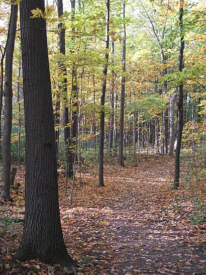
Directions to Cap Saint Jacques Nature Park (Montreal) with public transportation
The following transit lines have routes that pass near Cap Saint Jacques Nature Park
How to get to Cap Saint Jacques Nature Park by bus?
Click on the bus route to see step by step directions with maps, line arrival times and updated time schedules.
Bus stations near Cap Saint Jacques Nature Park in Montreal
- Parc-Nature Du Cap-Saint-Jacques,20 min walk,
Bus lines to Cap Saint Jacques Nature Park in Montreal
- 68,Ouest Destination Anse-À-L'Orme / Timberlea-Trail,
What are the closest stations to Cap Saint Jacques Nature Park?
The closest stations to Cap Saint Jacques Nature Park are:
- Parc-Nature Du Cap-Saint-Jacques is 1470 meters away, 20 min walk.
Which bus lines stop near Cap Saint Jacques Nature Park?
These bus lines stop near Cap Saint Jacques Nature Park: 470, 68.
What time is the first bus to Cap Saint Jacques Nature Park in Montreal?
The 68 is the first bus that goes to Cap Saint Jacques Nature Park in Montreal. It stops nearby at 5:08 AM.
What time is the last bus to Cap Saint Jacques Nature Park in Montreal?
The 68 is the last bus that goes to Cap Saint Jacques Nature Park in Montreal. It stops nearby at 1:53 AM.
See Cap Saint Jacques Nature Park, Montreal, on the map
Public Transit to Cap Saint Jacques Nature Park in Montreal
Wondering how to get to Cap Saint Jacques Nature Park in Montreal, Canada? Moovit helps you find the best way to get to Cap Saint Jacques Nature Park with step-by-step directions from the nearest public transit station.
Moovit provides free maps and live directions to help you navigate through your city. View schedules, routes, timetables, and find out how long does it take to get to Cap Saint Jacques Nature Park in real time.
Looking for the nearest stop or station to Cap Saint Jacques Nature Park? Check out this list of stops closest to your destination: Parc-Nature Du Cap-Saint-Jacques.
Bus:47068
Want to see if there’s another route that gets you there at an earlier time? Moovit helps you find alternative routes or times. Get directions from and directions to Cap Saint Jacques Nature Park easily from the Moovit App or Website.
We make riding to Cap Saint Jacques Nature Park easy, which is why over 1.5 million users, including users in Montreal, trust Moovit as the best app for public transit. You don’t need to download an individual bus app or train app, Moovit is your all-in-one transit app that helps you find the best bus time or train time available.
For information on prices of bus, costs and ride fares to Cap Saint Jacques Nature Park, please check the Moovit app.
Use the app to navigate to popular places including to the airport, hospital, stadium, grocery store, mall, coffee shop, school, college, and university.
Location: Montreal
Attractions near Cap Saint Jacques Nature Park
Parc Régional Cap-St-Jacques,Plage du Cap-Saint-Jacques,Ksf - Cap St-Jacques - Sup, Kayak,Plage Du Cap Saint-Jacques,Cap-Saint-Jacques Nature Park,Parc nature Cap St-Jacques,21115 Boulevard Gouin Ouest,20099 Boulevard Gouin Ouest,Cimetière Sainte-Geneviève,École Charlemagne,College Charlemagne Inc,Gouin / Rose-Marie,Collège Charlemagne,Villa Saint-Martin,Ermitage Sainte-Croix,Parc-Nature de l'Anse-à-l'Orme,Pointe Madeleine,Marais Lauzon,Plage Crystal,Refuge d'oiseaux de SennevilleHow to get to popular attractions in Montreal with public transit
Concordia University (Sgw Campus), Montréal,La Buvette chez Simone, Montréal,Mindgeek, Montréal,Centre Rockland, Mont-Royal,Pub L'île Noire, Montréal,Hôpital du Sacré-Coeur de Montréal, Montréal,Cégep Édouard-Montpetit, Campus Longueuil, Longueuil,L'Barouf, Montréal,Vieux-Montréal, Montréal,Brasserie 701, Montréal,Méchant Boeuf Bar & Brasserie, Montréal,Lola Rosa Café, Montréal,Costco Essence, Montréal,Mail Champlain, Brossard,Berri-Uqam , Montréal,Le Vieux Dublin Pub & Restaurant, Montréal,Nurun, Montréal,Holder, Montréal,STM Station Angrignon, Montréal,Starbucks, MontréalGet around Montreal by public transit!
Traveling around Montreal has never been so easy. See step by step directions as you travel to any attraction, street or major public transit station. View bus and train schedules, arrival times, service alerts and detailed routes on a map, so you know exactly how to get to anywhere in Montreal.
When traveling to any destination around Montreal use Moovit's Live Directions with Get Off Notifications to know exactly where and how far to walk, how long to wait for your line, and how many stops are left. Moovit will alert you when it's time to get off — no need to constantly re-check whether yours is the next stop.
Wondering how to use public transit in Montreal or how to pay for public transit in Montreal? Moovit public transit app can help you navigate your way with public transit easily, and at minimum cost. It includes public transit fees, ticket prices, and costs. Looking for a map of Montreal public transit lines? Moovit public transit app shows all public transit maps in Montreal with all bus routes and stops on an interactive map.
Montreal has 1 transit type(s), including: bus, operated by several transit agencies, including RTL, STM, STM, exo-Réseau de transport métropolitain, exo-Chambly-Richelieu-Carignan, exo-Haut-Saint-Laurent, exo-Laurentides, exo-La Presqu'île, CRT Lanaudière, exo-Le Richelain / Roussillon, exo-Sorel-Varennes, exo-Sud-Ouest, exo-Vallée du Richelieu, exo-L'Assomption and exo-Terrebonne-Mascouche