How to get to Cap Solar by bus?
Click on the bus route to see step by step directions with maps, line arrival times and updated time schedules.
From Sojo Spa, Edgewater
50 minFrom Broadway and 168th St, Manhattan
42 minFrom Radio Hotel, Manhattan
38 minFrom North Bergen, NJ, North Bergen
45 minFrom Sojo Spa Club, Edgewater
50 minFrom Columbia University, Manhattan
69 minFrom 45th & Broadway, Manhattan
60 minFrom 177th Fort Washington Ave, Manhattan
32 minFrom George Washington Bridge, Manhattan
39 minFrom Paterson, NJ, Paterson
49 min
How to get to Cap Solar by train?
Click on the train route to see step by step directions with maps, line arrival times and updated time schedules.
Bus stops near Cap Solar in Hackensack
Train station near Cap Solar in Hackensack
- New Bridge Landing, 14 min walk,VIEW
Bus lines to Cap Solar in Hackensack
- 165, Westwood,VIEW
- 751, Paramus Bergen Comcol Via Bogota & Fairview,VIEW
- 753, Paramus Bergen Town Center,VIEW
- 755, Edgewater Via Fort Lee & Cedar Lane,VIEW
- 772, G Bergen Comm Coll Via Gotham Parkway,VIEW
- 83, Jersey City Journal Sq,VIEW
- 168, Paramus Bergen Town Center,VIEW
- 762, Hackensack Bus Terminal,VIEW
- 780, Passaic Bus Terminal,VIEW
- 175, New York Bergen Comm College & Garden State Plaza,VIEW
What are the closest stations to Cap Solar?
The closest stations to Cap Solar are:
- Main St at Ward St is 101 yards away, 2 min walk.
- River St at Anderson St is 155 yards away, 2 min walk.
- New Bridge Landing is 1175 yards away, 14 min walk.
Which bus lines stop near Cap Solar?
These bus lines stop near Cap Solar: 175, 755, 780, 83.
Which train line stops near Cap Solar?
PVL (Spring Valley)
What’s the nearest train station to Cap Solar in Hackensack?
The nearest train station to Cap Solar in Hackensack is New Bridge Landing. It’s a 14 min walk away.
What’s the nearest bus station to Cap Solar in Hackensack?
The nearest bus stations to Cap Solar in Hackensack are Main St at Ward St and River St at Anderson St. The closest one is a 2 min walk away.
What time is the first train to Cap Solar in Hackensack?
The PVL is the first train that goes to Cap Solar in Hackensack. It stops nearby at 5:46 AM.
What time is the last train to Cap Solar in Hackensack?
The PVL is the last train that goes to Cap Solar in Hackensack. It stops nearby at 12:54 AM.
What time is the first bus to Cap Solar in Hackensack?
The 165 is the first bus that goes to Cap Solar in Hackensack. It stops nearby at 4:18 AM.
What time is the last bus to Cap Solar in Hackensack?
The 165 is the last bus that goes to Cap Solar in Hackensack. It stops nearby at 1:55 AM.
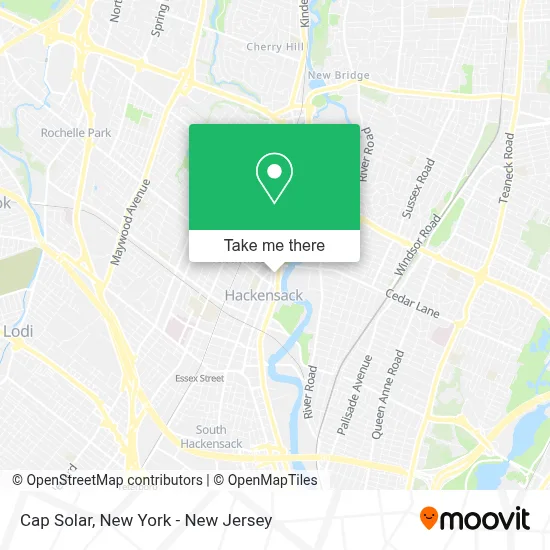
See Cap Solar, Hackensack, on the map
Public Transit to Cap Solar in Hackensack
Wondering how to get to Cap Solar in Hackensack? Moovit helps you find the best way to get to Cap Solar with step-by-step directions from the nearest public transit station.
Moovit provides free maps and live directions to help you navigate through your city. View schedules, routes, timetables, and find out how long does it take to get to Cap Solar in real time.
Looking for the nearest stop or station to Cap Solar? Check out this list of stops closest to your destination: Main St at Ward St; River St at Anderson St; New Bridge Landing.
Bus: 175, 755, 780, 83, 165, 751, 753, 772, 168, 762.Train: PVL.
Want to see if there’s another route that gets you there at an earlier time? Moovit helps you find alternative routes or times. Get directions from and directions to Cap Solar easily from the Moovit App or Website.
We make riding to Cap Solar easy, which is why over 1.5 million users, including users in Hackensack, trust Moovit as the best app for public transit. You don’t need to download an individual bus app or train app, Moovit is your all-in-one transit app that helps you find the best bus time or train time available.
For information on prices of bus, subway and train, costs and ride fares to Cap Solar, please check the Moovit app.
Use the app to navigate to popular places including to the airport, hospital, stadium, grocery store, mall, coffee shop, school, college, and university.
Cap Solar Address: 392 Main St street in Hackensack
- 1st Bergen Federal Credit Union,
- Greater Bergen Community Action,
- Greater Bergen Low Income Home Energy Assistance Program,
- Noches De Colombia,
- Club Aladdin,
- Ecua Taxi,
- Gamjatangtang,
- Ecua Taxi 24/7,
- Riverside Nissan,
- Brythebarber,
- Santiago Beauty Barber Shop,
- Bergen Regional Counseling Center,
- Exact Collision Llc,
- Thrifty Car Rental,
- Dina S. Jackson Dmd,
- Ven Ven Ven Autos,
- Raffsonni Galleries,
- Bob Testa - State Farm Insurance Agent,
- State Farm Insurance,
- Embroidme Hackensack, NJ
Places Near Cap Solar (Hackensack)
- Mountainside Hospital, Glen Ridge,
- 66 John Street, Manhattan,
- 111 Centre New York City Supreme Court, Manhattan,
- SoHo, Manhattan,
- 376 Hudson Street, Manhattan,
- 1 Police Plaza, Manhattan,
- Bellevue Hospital, Manhattan,
- 26 Federal Plaza, Manhattan,
- San Gennaro Feast, Manhattan,
- qqqq, Manhattan,
- Katz's Deli, Manhattan,
- Wall Street, Manhattan,
- Hudson Yards, Manhattan,
- 911 Memorial, Manhattan,
- Pier 83, Manhattan,
- Chinatown, Manhattan,
- Rockefeller Center, Manhattan,
- Times Square, Manhattan,
- Queens Center Mall, Queens,
- 3 Stone St, Manhattan
How to get to popular places in New York - New Jersey with public transit
Get around Hackensack by public transit!
Traveling around Hackensack has never been so easy. See step by step directions as you travel to any attraction, street or major public transit station. View bus and train schedules, arrival times, service alerts and detailed routes on a map, so you know exactly how to get to anywhere in Hackensack.
When traveling to any destination around Hackensack use Moovit's Live Directions with Get Off Notifications to know exactly where and how far to walk, how long to wait for your line, and how many stops are left. Moovit will alert you when it's time to get off — no need to constantly re-check whether yours is the next stop.
Wondering how to use public transit in Hackensack or how to pay for public transit in Hackensack? Moovit public transit app can help you navigate your way with public transit easily, and at minimum cost. It includes public transit fees, ticket prices, and costs. Looking for a map of Hackensack public transit lines? Moovit public transit app shows all public transit maps in Hackensack with all Bus, Train, Subway, Light Rail, Ferry and Cable Car routes and stops on an interactive map.
New York - New Jersey has 6 transit type(s), including: Bus, Train, Subway, Light Rail, Ferry and Cable Car, operated by several transit agencies, including MTA Subway, Metro-North Railroad, LIRR, PATH, MTA New York City Transit - Express routes, MTA Bus, NJ Transit, NYC Ferry, NICE bus, Bee-Line Bus, NJ Transit Rail, Norwalk Transit District, Hartford Line, River Valley Transit and HART