How to get to Capa by bus?
Click on the bus route to see step by step directions with maps, line arrival times and updated time schedules.
From Green Area, Capannori
18 minFrom Pescia Hospital, Pescia
56 minFrom Armed Forces-Parachutist Training Center, Pisa
76 minFrom Madonna of the Water, San Giuliano Terme
79 minFrom Stiava Municipal Sports Field, Union of Municipalities of Versilia
90 minFrom Alberto Paparelli Street, Pisa
169 minFrom Carmar Trans, Altopascio
56 minFrom SS. Cosma and Damiano Hospital of Pescia, Pescia
56 minFrom CNR Research Area of Pisa, Pisa
175 minFrom Don Carlos Disco, Chiesina Uzzanese
104 min
How to get to Capa by train?
Click on the train route to see step by step directions with maps, line arrival times and updated time schedules.
Bus stops near Capa in Lucca
Train station near Capa in Lucca
- Lucca, 9 min walk,VIEW
Bus lines to Capa in Lucca
What are the closest stations to Capa?
The closest stations to Capa are:
- Via Delle Ville Church is 277 meters away, 4 min walk.
- Via Bianchini Former Hospital is 334 meters away, 5 min walk.
- Lucca is 685 meters away, 9 min walk.
Which bus lines stop near Capa?
These bus lines stop near Capa: 2+, 51, E11, E8.
Which train line stops near Capa?
R (Pistoia/Pisa)
What’s the nearest train station to Capa in Lucca?
The nearest train station to Capa in Lucca is Lucca. It’s a 9 min walk away.
What’s the nearest bus station to Capa in Lucca?
The nearest bus station to Capa in Lucca is Via Delle Ville Church. It’s a 4 min walk away.
What time is the first train to Capa in Lucca?
The R is the first train that goes to Capa in Lucca. It stops nearby at 6:01 AM.
What time is the last train to Capa in Lucca?
The R is the last train that goes to Capa in Lucca. It stops nearby at 11:30 PM.
What time is the first bus to Capa in Lucca?
The 2+ is the first bus that goes to Capa in Lucca. It stops nearby at 8:50 AM.
What time is the last bus to Capa in Lucca?
The 2+ is the last bus that goes to Capa in Lucca. It stops nearby at 8:25 PM.
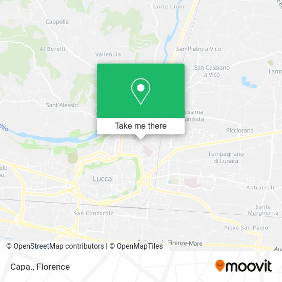
See Capa, Lucca, on the map
Public Transit to Capa in Lucca
Wondering how to get to Capa in Lucca? Moovit helps you find the best way to get to Capa with step-by-step directions from the nearest public transit station.
Moovit provides free maps and live directions to help you navigate through your city. View schedules, routes, timetables, and find out how long does it take to get to Capa in real time.
Looking for the nearest stop or station to Capa? Check out this list of stops closest to your destination: Via Delle Ville Church; Via Bianchini Former Hospital; Lucca.
Bus: 2+, 51, E11, E8, E12, 61.Train: R.
Want to see if there’s another route that gets you there at an earlier time? Moovit helps you find alternative routes or times. Get directions from and directions to Capa easily from the Moovit App or Website.
We make riding to Capa easy, which is why over 1.5 million users, including users in Lucca, trust Moovit as the best app for public transit. You don’t need to download an individual bus app or train app, Moovit is your all-in-one transit app that helps you find the best bus time or train time available.
For information on prices of bus and train, costs and ride fares to Capa, please check the Moovit app.
Use the app to navigate to popular places including to the airport, hospital, stadium, grocery store, mall, coffee shop, school, college, and university.
Capa Address: Via Papa Lucio III, 55100 Lucca street in Lucca
- San Marco Church,
- B. & B. Real Estate by Nutini Amerigo and Sassetti Andrea,
- Addiction Services,
- Manola Belluomini,
- San Marco Press,
- Taxi,
- Manpower,
- Family Counseling Center Campo di Marte,
- La Salute,
- Campo di Marte Health Citadel,
- Due Elle by Gertoux Lisa & Co.,
- San Marco Hotel,
- Villa Catelli Bed and Breakfast,
- Tagetik,
- So.Pe.Co,
- Roberti Simone,
- Farneta,
- Cornacchie Street,
- IMS Italia,
- Ramacciotti Enrico
Places Near Capa (Lucca)
- Torregalli Hospital Scandicci *, Scandicci,
- OOO, Florence,
- IKEA Florence, Sesto Fiorentino,
- Santa Maria Nuova Hospital, Florence,
- I Gigli, Campi Bisenzio,
- Artemio Franchi Municipal Stadium, Florence,
- Michelangelo Square, Florence,
- Verdi Theater, Florence,
- Nelson Mandela Forum, Florence,
- Asmana, Campi Bisenzio,
- Campi Bisenzio, Campi Bisenzio,
- Michelangelo Square, Florence,
- Tobacco Manufacture, Florence,
- Viola Park, Bagno a Ripoli,
- Mandela Forum (Nelson Mandela Forum), Florence,
- Wanny Palace, Florence,
- Piero Palagi Hospital Facility-Florence, Florence,
- Field of Mars, Florence,
- Santa Maria Novella Station, Florence,
- Cascine Park, Florence
How to get to popular places in Florence with public transit
Get around Lucca by public transit!
Traveling around Lucca has never been so easy. See step by step directions as you travel to any attraction, street or major public transit station. View bus and train schedules, arrival times, service alerts and detailed routes on a map, so you know exactly how to get to anywhere in Lucca.
When traveling to any destination around Lucca use Moovit's Live Directions with Get Off Notifications to know exactly where and how far to walk, how long to wait for your line, and how many stops are left. Moovit will alert you when it's time to get off — no need to constantly re-check whether yours is the next stop.
Wondering how to use public transit in Lucca or how to pay for public transit in Lucca? Moovit public transit app can help you navigate your way with public transit easily, and at minimum cost. It includes public transit fees, ticket prices, and costs. Looking for a map of Lucca public transit lines? Moovit public transit app shows all public transit maps in Lucca with all Bus, Train, Light Rail, Ferry and Funicular routes and stops on an interactive map.
Florence has 5 transit type(s), including: Bus, Train, Light Rail, Ferry and Funicular, operated by several transit agencies, including Florence Urban - Tuscan Bus Lines, GEST, Florence and Province - Tuscan Bus Lines, Livorno and Province - Tuscan Bus Lines, Arezzo, Florence and Provinces - Tuscan Bus Lines, Prato and Province - Tuscan Bus Lines, Massa, Carrara and Province - Tuscan Bus Lines, Pisa and Province - Tuscan Bus Lines, Grosseto, Siena and Provinces - Tuscan Bus Lines, Arezzo, Siena and Provinces - Tuscan Bus Lines, Pistoia and Province - Tuscan Bus Lines, Siena and Province - Tuscan Bus Lines, Arezzo and Province - Tuscan Bus Lines, Lucca and Province - Tuscan Bus Lines and Trenitalia