Bus stops near Capricci di Moda in Messina
Train station near Capricci di Moda in Messina
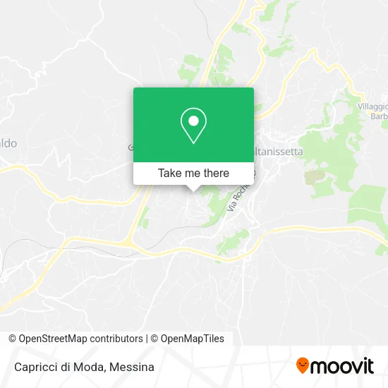
- Caltanissetta Central, 62 min walk,VIEW
Bus lines to Capricci di Moda in Messina
- Prisco Company,
- Dr. Morena Piave,
- Saint Mark Parish,
- San Michele Driving School,
- Miky Surgel Frozen World,
- Parrinello Tobacco,
- Amico Bakery,
- Carlino Francesco,
- Pizzeria la Capannina,
- GC Distribution Center,
- Nuova Classe a Service,
- Magic School,
- Ristomatica Simplified Limited Liability Company in Liquidation,
- Fabio Curatolo,
- Dental Care by Doctor Emanuela Vitali,
- Clean Center,
- Cesea-Procurement Services Center,
- Oblo',
- Cre by Renato Macelloni & Co.,
- Luca Pignato Mediterranean Institute
Places Near Capricci di Moda (Messina)
- Ice Rink, Catania,
- San Filippo Stadium, Messina,
- Ikea Catania, Catania,
- La Playa, Catania,
- Sicily Center, Catania,
- Catania Gates, Catania,
- San Marco Hospital - Catania, Catania,
- Garibaldi Nesima Hospital, Catania,
- University Campus, Catania,
- Villa Bellini, Catania,
- Franco Scoglio Stadium, Messina,
- Santa Filomena Street 12, Catania,
- Messina Polyclinic, Messina,
- Etnapolis Shopping Center, Belpasso,
- Cannizzaro Hospital, Catania,
- Etnapolis Shopping Center, Belpasso,
- Polyclinic, Catania,
- Porte di Catania Shopping Center, Catania,
- PalaRescifina Stadium, Messina,
- Ognina, Catania
How to get to popular places in Messina with public transit
What are the closest stations to Capricci di Moda?
The closest stations to Capricci di Moda are:
- Ferdinand I - Ungaretti is 40 meters away, 1 min walk.
- Ferdinando I - Perosi is 224 meters away, 4 min walk.
- Turati Street - Da Vinci Technical Institute is 378 meters away, 6 min walk.
- Caltanissetta Central is 4801 meters away, 62 min walk.
Which train line stops near Capricci di Moda?
R (Caltanissetta Central)
What’s the nearest bus station to Capricci di Moda in Messina?
The nearest bus station to Capricci di Moda in Messina is Ferdinand I - Ungaretti. It’s a 1 min walk away.
What time is the first train to Capricci di Moda in Messina?
The R is the first train that goes to Capricci di Moda in Messina. It stops nearby at 7:20 AM.
What time is the last train to Capricci di Moda in Messina?
The R is the last train that goes to Capricci di Moda in Messina. It stops nearby at 8:34 PM.
What time is the first bus to Capricci di Moda in Messina?
The DOM is the first bus that goes to Capricci di Moda in Messina. It stops nearby at 8:37 AM.
What time is the last bus to Capricci di Moda in Messina?
The DOM is the last bus that goes to Capricci di Moda in Messina. It stops nearby at 8:43 PM.
See Capricci di Moda, Messina, on the map
Public Transit to Capricci di Moda in Messina
Wondering how to get to Capricci di Moda in Messina? Moovit helps you find the best way to get to Capricci di Moda with step-by-step directions from the nearest public transit station.
Moovit provides free maps and live directions to help you navigate through your city. View schedules, routes, timetables, and find out how long does it take to get to Capricci di Moda in real time.
Looking for the nearest stop or station to Capricci di Moda? Check out this list of stops closest to your destination: Ferdinand I - Ungaretti; Ferdinando I - Perosi; Turati Street - Da Vinci Technical Institute; Caltanissetta Central.
Bus: DOM, POM, SCAT, 5, BALATE, SCOL, SCOL.Train: R, RV.
Want to see if there’s another route that gets you there at an earlier time? Moovit helps you find alternative routes or times. Get directions from and directions to Capricci di Moda easily from the Moovit App or Website.
We make riding to Capricci di Moda easy, which is why over 1.5 million users, including users in Messina, trust Moovit as the best app for public transit. You don’t need to download an individual bus app or train app, Moovit is your all-in-one transit app that helps you find the best bus time or train time available.
For information on prices of train and bus, costs and ride fares to Capricci di Moda, please check the Moovit app.
Use the app to navigate to popular places including to the airport, hospital, stadium, grocery store, mall, coffee shop, school, college, and university.
Capricci di Moda Address: Via Ferdinando I, 73 93100 Caltanissetta street in Messina
Get around Messina by public transit!
Traveling around Messina has never been so easy. See step by step directions as you travel to any attraction, street or major public transit station. View bus and train schedules, arrival times, service alerts and detailed routes on a map, so you know exactly how to get to anywhere in Messina.
When traveling to any destination around Messina use Moovit's Live Directions with Get Off Notifications to know exactly where and how far to walk, how long to wait for your line, and how many stops are left. Moovit will alert you when it's time to get off — no need to constantly re-check whether yours is the next stop.
Wondering how to use public transit in Messina or how to pay for public transit in Messina? Moovit public transit app can help you navigate your way with public transit easily, and at minimum cost. It includes public transit fees, ticket prices, and costs. Looking for a map of Messina public transit lines? Moovit public transit app shows all public transit maps in Messina with all Bus, Train, Metro, Ferry and Cable Car routes and stops on an interactive map.
Messina has 5 transit type(s), including: Bus, Train, Metro, Ferry and Cable Car, operated by several transit agencies, including FCE, Trenitalia, AMTS, ATM Messina, AST, Interbus, flibco, Etna Transport, SCAT - Tiemme, Giuntabus Transport, GiuntaBus, Sais Bus Lines S.p.A., Regional Bus Lines Ltd, Sberna Travel and Camarda & Drago