How to get to Cardinal Elementary by bus?
Click on the bus route to see step by step directions with maps, line arrival times and updated time schedules.
From Lorton, VA - Amtrak Auto Train Station (LOR), Fairfax County
254 minFrom Busch Gardens Williamsburg (Employee Parking Lot), James City County
180 minFrom Rose Gaming Resort, Prince William County
264 minFrom Potomac Mills Mall, Prince William County
239 minFrom Lorton, VA, Fairfax County
248 minFrom Woodbridge, VA, Prince William County
183 minFrom UVA Hospital Medical Center, Charlottesville
328 minFrom Amazon Fulfillment Center-Ric3, Richmond
45 min
Bus stops near Cardinal Elementary in Richmond
Bus lines to Cardinal Elementary in Richmond
What are the closest stations to Cardinal Elementary?
The closest stations to Cardinal Elementary are:
- Broad Rock + Cranford is 689 yards away, 9 min walk.
- Broad Rock + Horner Lane is 1111 yards away, 14 min walk.
- Southwood & Clarkson is 1144 yards away, 14 min walk.
Which bus lines stop near Cardinal Elementary?
These bus lines stop near Cardinal Elementary: 1C, 88.
What’s the nearest bus station to Cardinal Elementary in Richmond?
The nearest bus station to Cardinal Elementary in Richmond is Broad Rock + Cranford. It’s a 9 min walk away.
What time is the first bus to Cardinal Elementary in Richmond?
The 86 is the first bus that goes to Cardinal Elementary in Richmond. It stops nearby at 5:17 AM.
What time is the last bus to Cardinal Elementary in Richmond?
The 1C is the last bus that goes to Cardinal Elementary in Richmond. It stops nearby at 12:16 AM.
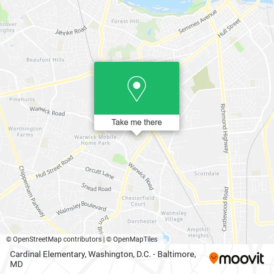
See Cardinal Elementary, Richmond, on the map
Public Transit to Cardinal Elementary in Richmond
Wondering how to get to Cardinal Elementary in Richmond? Moovit helps you find the best way to get to Cardinal Elementary with step-by-step directions from the nearest public transit station.
Moovit provides free maps and live directions to help you navigate through your city. View schedules, routes, timetables, and find out how long does it take to get to Cardinal Elementary in real time.
Looking for the nearest stop or station to Cardinal Elementary? Check out this list of stops closest to your destination: Broad Rock + Cranford; Broad Rock + Horner Lane; Southwood & Clarkson.
Bus: 1C, 88, 86, 1B.
Want to see if there’s another route that gets you there at an earlier time? Moovit helps you find alternative routes or times. Get directions from and directions to Cardinal Elementary easily from the Moovit App or Website.
We make riding to Cardinal Elementary easy, which is why over 1.5 million users, including users in Richmond, trust Moovit as the best app for public transit. You don’t need to download an individual bus app or train app, Moovit is your all-in-one transit app that helps you find the best bus time or train time available.
For information on prices of bus and train, costs and ride fares to Cardinal Elementary, please check the Moovit app.
Use the app to navigate to popular places including to the airport, hospital, stadium, grocery store, mall, coffee shop, school, college, and university.
Cardinal Elementary Address: 1745 Catalina Dr Richmond, VA 23224 street in Richmond
- Twentyfour Seven Locksmith,
- Cardinal Elementary School,
- Richmond Public Schools,
- ESH Green Elementary School,
- Crystal S Tax Service,
- Richmond Porta Potty Rental Pros,
- Phillips Restoration,
- Phillipscox Insurance an Financial Service,
- Super Mom's Daycare,
- Hair Expressions,
- Iglesia Pentecostal Monte Sinai,
- D & K Enterprises,
- Autos Finos,
- Alvaro's Auto Repair,
- E H S Greene Playground,
- Pam & Nancys Fashion Boutique,
- Wholesale Cars,
- Super Taco del Sabor,
- Libertyx Bitcoin ATM,
- ATM
Places Near Cardinal Elementary (Richmond)
- Georgetown, Washington,
- Warner Theatre, Washington,
- Museum Of The Bible, Washington,
- Amazon Hq2, Arlington County,
- Basilica of the National Shrine, Washington,
- PG Mall, Prince George's County,
- National Mall, Washington,
- Westfield Montgomery Mall, Montgomery County,
- Rock Creek Tennis Center, Washington,
- Washington National Cathedral, Washington,
- Sibley Memorial Hospital, Washington,
- Camden Yards, Baltimore,
- M&T Bank Stadium, Baltimore,
- The Anthem, Washington,
- Capital One Arena, Washington,
- Washington DC VA Medical Center, Washington,
- National Zoo, Washington,
- National Museum of African American History and Culture, Washington,
- Pennsylvania Ave NW (3rd st and pennsylvania), Washington,
- Marriott Marquis Washington, DC, Washington
How to get to popular places in Washington, D.C. - Baltimore, MD with public transit
Get around Richmond by public transit!
Traveling around Richmond has never been so easy. See step by step directions as you travel to any attraction, street or major public transit station. View bus and train schedules, arrival times, service alerts and detailed routes on a map, so you know exactly how to get to anywhere in Richmond.
When traveling to any destination around Richmond use Moovit's Live Directions with Get Off Notifications to know exactly where and how far to walk, how long to wait for your line, and how many stops are left. Moovit will alert you when it's time to get off — no need to constantly re-check whether yours is the next stop.
Wondering how to use public transit in Richmond or how to pay for public transit in Richmond? Moovit public transit app can help you navigate your way with public transit easily, and at minimum cost. It includes public transit fees, ticket prices, and costs. Looking for a map of Richmond public transit lines? Moovit public transit app shows all public transit maps in Richmond with all Bus, Train, Metro, Light Rail and Ferry routes and stops on an interactive map.
Washington, D.C. - Baltimore, MD has 5 transit type(s), including: Bus, Train, Metro, Light Rail and Ferry, operated by several transit agencies, including WMATA, Montgomery County Ride On, Fairfax Connector, TheBus, PRTC, DASH - Alexandria, Arlington Transit (ART), RTA of Central Maryland, MDOT MTA, MDOT MTA Light RailLink, MDOT MTA Commuter Bus, MDOT MTA Local Bus, FXBGO!, Virginia Railway Express (VRE) and MARC