How to get to Carpinteria Arellano by bus?
Click on the bus route to see step by step directions with maps, line arrival times and updated time schedules.
From Nissan Mexicana A1, Aguascalientes
59 minFrom Fraccionamiento Asturias, Aguascalientes
70 minFrom Fracc. Versalles 1ra. Sección, Aguascalientes
38 minFrom Balcones de Oriente, Aguascalientes
52 minFrom American Standard, Aguascalientes
55 minFrom Fracc. San Sebastián, Aguascalientes
53 minFrom Chedraui Aguascalientes Asunción T250, Aguascalientes
39 minFrom Haciendas de Aguascalientes, Aguascalientes
53 minFrom CBTIS 281, Aguascalientes
45 min
Bus stops near Carpinteria Arellano in Aguascalientes
Bus lines to Carpinteria Arellano in Aguascalientes
What are the closest stations to Carpinteria Arellano?
The closest stations to Carpinteria Arellano are:
- Avenida Universidad, 2023a is 76 meters away, 2 min walk.
- Rincón De Romos, 112 is 133 meters away, 2 min walk.
- Avenida Universidad, 2023(739) is 206 meters away, 3 min walk.
Which bus lines stop near Carpinteria Arellano?
These bus lines stop near Carpinteria Arellano: RUTA 04, RUTA 06, RUTA 11, RUTA 45.
What’s the nearest bus station to Carpinteria Arellano in Aguascalientes?
The nearest bus stations to Carpinteria Arellano in Aguascalientes are Avenida Universidad, 2023a and Rincón De Romos, 112. The closest one is a 2 min walk away.
What time is the first bus to Carpinteria Arellano in Aguascalientes?
The RUTA 30 is the first bus that goes to Carpinteria Arellano in Aguascalientes. It stops nearby at 6:17 AM.
What time is the last bus to Carpinteria Arellano in Aguascalientes?
The RUTA 45 is the last bus that goes to Carpinteria Arellano in Aguascalientes. It stops nearby at 10:10 PM.
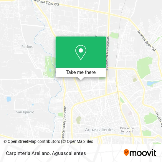
See Carpinteria Arellano, Aguascalientes, on the map
Public Transit to Carpinteria Arellano in Aguascalientes
Wondering how to get to Carpinteria Arellano in Aguascalientes? Moovit helps you find the best way to get to Carpinteria Arellano with step-by-step directions from the nearest public transit station.
Moovit provides free maps and live directions to help you navigate through your city. View schedules, routes, timetables, and find out how long does it take to get to Carpinteria Arellano in real time.
Looking for the nearest stop or station to Carpinteria Arellano? Check out this list of stops closest to your destination: Avenida Universidad; Rincón De Romos; Avenida Universidad.
Bus: RUTA 04, RUTA 06, RUTA 11, RUTA 45, RUTA 33, RUTA 38, RUTA 18, RUTA 30, RUTA 35.
Want to see if there’s another route that gets you there at an earlier time? Moovit helps you find alternative routes or times. Get directions from and directions to Carpinteria Arellano easily from the Moovit App or Website.
We make riding to Carpinteria Arellano easy, which is why over 1.5 million users, including users in Aguascalientes, trust Moovit as the best app for public transit. You don’t need to download an individual bus app or train app, Moovit is your all-in-one transit app that helps you find the best bus time or train time available.
For information on prices of bus, costs and ride fares to Carpinteria Arellano, please check the Moovit app.
Use the app to navigate to popular places including to the airport, hospital, stadium, grocery store, mall, coffee shop, school, college, and university.
Carpinteria Arellano Address: Carpinteria Arellano, Calle San Julián 304A, San José del Arenal, 20130 Aguascalientes, Aguascalien street in Aguascalientes
- Centro de Desarrollo Infantil La Estrella Sc,
- Servicio Automotriz Ernesto,
- Honey Velvet Repostería-Café,
- Abarrotes-Calle San Miguel El Alto,
- Taller Mecanico Fatima,
- Hair by Mónica Herrera,
- Dr Carlos Contreras Medicina Estética,
- Bosques Del Paraiso,
- Transporte Colectivo Foraneo de Pasajeros,
- Calle Tepezala,
- Abarrotes La Tienda de Nosotros,
- Colegio Independencia,
- Colegio Independencia De Aguascalientes A.C.,
- El Atoron De La Chona,
- El Corral de la China,
- Gorditas Mode,
- Dlux,
- Dra. Claudia Sofia Muñoz De La Torre,
- Azúcar Amor,
- Jalpa
Places Near Carpinteria Arellano (Aguascalientes)
- Agropecuario, Aguascalientes,
- Blvd. Luis Donaldo Colosio, Aguascalientes,
- Imss Clinica 1, Aguascalientes,
- Jesús María, Aguascalientes,
- Universidad Autónoma de Aguascalientes, Aguascalientes,
- Parque Las Tres Centurias, Aguascalientes,
- Ciudad industrial, Aguascalientes,
- ESPACIOS, Aguascalientes,
- Central De Autobuses, Aguascalientes,
- Terminal De Combis, Aguascalientes,
- clinica 3 uaa, Aguascalientes,
- Villasuncion, Aguascalientes,
- Isla San Marcos, Aguascalientes,
- Aeropuerto de Aguascalientes S.A. de C.V., Aguascalientes,
- Centro Comercial Altaria, Aguascalientes,
- La Isla San Marcos, Aguascalientes,
- Hospital Imss No. 3, Aguascalientes,
- Centro, Aguascalientes,
- Nuevo Hospital Hidalgo, Aguascalientes,
- Villas de Nuestra Señora de la Asunción, Aguascalientes
How to get to popular places in Aguascalientes with public transit
Get around Aguascalientes by public transit!
Traveling around Aguascalientes has never been so easy. See step by step directions as you travel to any attraction, street or major public transit station. View bus and train schedules, arrival times, service alerts and detailed routes on a map, so you know exactly how to get to anywhere in Aguascalientes.
When traveling to any destination around Aguascalientes use Moovit's Live Directions with Get Off Notifications to know exactly where and how far to walk, how long to wait for your line, and how many stops are left. Moovit will alert you when it's time to get off — no need to constantly re-check whether yours is the next stop.
Wondering how to use public transit in Aguascalientes or how to pay for public transit in Aguascalientes? Moovit public transit app can help you navigate your way with public transit easily, and at minimum cost. It includes public transit fees, ticket prices, and costs. Looking for a map of Aguascalientes public transit lines? Moovit public transit app shows all public transit maps in Aguascalientes with all bus routes and stops on an interactive map.
Aguascalientes has 1 transit type(s), including: bus, operated by several transit agencies, including Coordinación General de Movilidad