How to get to Cars by bus?
Click on the bus route to see step by step directions with maps, line arrival times and updated time schedules.
Bus stops near Cars in Roanoke
Bus lines to Cars in Roanoke
What are the closest stations to Cars?
The closest stations to Cars are:
- Brandon Wb at Peters Creek (Carwash) is 14 yards away, 1 min walk.
- Brandon Eb at Ferguson Bath Kitchen & Lighting Showroom is 479 yards away, 6 min walk.
Which bus line stops near Cars?
71 (Lewis Gale Medical Center)
What’s the nearest bus station to Cars in Roanoke?
The nearest bus station to Cars in Roanoke is Brandon Wb at Peters Creek (Carwash). It’s a 1 min walk away.
What time is the first bus to Cars in Roanoke?
The 72 is the first bus that goes to Cars in Roanoke. It stops nearby at 5:48 AM.
What time is the last bus to Cars in Roanoke?
The 71 is the last bus that goes to Cars in Roanoke. It stops nearby at 8:39 PM.
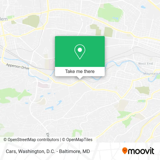
See Cars, Roanoke, on the map
Public Transit to Cars in Roanoke
Wondering how to get to Cars in Roanoke? Moovit helps you find the best way to get to Cars with step-by-step directions from the nearest public transit station.
Moovit provides free maps and live directions to help you navigate through your city. View schedules, routes, timetables, and find out how long does it take to get to Cars in real time.
Looking for the nearest stop or station to Cars? Check out this list of stops closest to your destination: Brandon Wb at Peters Creek (Carwash); Brandon Eb at Ferguson Bath Kitchen & Lighting Showroom.
Bus: 71, 72.
Want to see if there’s another route that gets you there at an earlier time? Moovit helps you find alternative routes or times. Get directions from and directions to Cars easily from the Moovit App or Website.
We make riding to Cars easy, which is why over 1.5 million users, including users in Roanoke, trust Moovit as the best app for public transit. You don’t need to download an individual bus app or train app, Moovit is your all-in-one transit app that helps you find the best bus time or train time available.
For information on prices of bus and train, costs and ride fares to Cars, please check the Moovit app.
Use the app to navigate to popular places including to the airport, hospital, stadium, grocery store, mall, coffee shop, school, college, and university.
Cars Address: 3611 Brandon Ave SW Roanoke, VA 24018 street in Roanoke
- Brandon Car Wash,
- Garst Clinic of Chiropractic,
- Somi's Alterations & Cleaning,
- Advanced Door Service,
- Petrus Environmental Services,
- Southwest Virginia Vallet,
- Connector Co.,
- Security Consultants Unlimited,
- Sun Medical,
- Nicely Done Contracting,
- National O & M,
- Prestige Portraits,
- Paul Davis Restoration,
- Serious Steel Fitness,
- Turner Long Construction,
- DBS,
- Tolt,
- Lincare,
- Lube Center,
- El Toreo
Places Near Cars (Roanoke)
- Pennsylvania Ave NW (3rd st and pennsylvania), Washington,
- Sibley Memorial Hospital, Washington,
- Rock Creek Tennis Center, Washington,
- Museum Of The Bible, Washington,
- Westfield Montgomery Mall, Montgomery County,
- National Mall, Washington,
- Washington National Cathedral, Washington,
- National Museum of African American History and Culture, Washington,
- M&T Bank Stadium, Baltimore,
- Washington DC VA Medical Center, Washington,
- Warner Theatre, Washington,
- PG Mall, Prince George's County,
- Camden Yards, Baltimore,
- The Anthem, Washington,
- Georgetown, Washington,
- Capital One Arena, Washington,
- Marriott Marquis Washington, DC, Washington,
- National Zoo, Washington,
- Amazon Hq2, Arlington County,
- Basilica of the National Shrine, Washington
How to get to popular places in Washington, D.C. - Baltimore, MD with public transit
Get around Roanoke by public transit!
Traveling around Roanoke has never been so easy. See step by step directions as you travel to any attraction, street or major public transit station. View bus and train schedules, arrival times, service alerts and detailed routes on a map, so you know exactly how to get to anywhere in Roanoke.
When traveling to any destination around Roanoke use Moovit's Live Directions with Get Off Notifications to know exactly where and how far to walk, how long to wait for your line, and how many stops are left. Moovit will alert you when it's time to get off — no need to constantly re-check whether yours is the next stop.
Wondering how to use public transit in Roanoke or how to pay for public transit in Roanoke? Moovit public transit app can help you navigate your way with public transit easily, and at minimum cost. It includes public transit fees, ticket prices, and costs. Looking for a map of Roanoke public transit lines? Moovit public transit app shows all public transit maps in Roanoke with all Bus, Train, Metro, Light Rail and Ferry routes and stops on an interactive map.
Washington, D.C. - Baltimore, MD has 5 transit type(s), including: Bus, Train, Metro, Light Rail and Ferry, operated by several transit agencies, including WMATA, Montgomery County Ride On, Fairfax Connector, TheBus, PRTC, DASH - Alexandria, Arlington Transit (ART), RTA of Central Maryland, MDOT MTA, MDOT MTA Light RailLink, MDOT MTA Commuter Bus, MDOT MTA Local Bus, FXBGO!, Virginia Railway Express (VRE) and MARC