Carso stop - Thursday schedule
| Line | Direction | Time |
|---|---|---|
| 12 | Settembrini Terminal | 6:39 AM |
| 11 | Settembrini Terminal | 6:53 AM |
| 25 | Monticelli Terminal | 7:02 AM |
| 6 | Social Center | 7:11 AM |
| 25 | Monticelli Terminal | 7:40 AM |
| 6 | Social Center | 7:41 AM |
| 11 | Settembrini Terminal | 7:47 AM |
| 12 | Settembrini Terminal | 7:56 AM |
| 22 | De Sanctis Classical High School | 7:59 AM |
| 6 | Social Center | 8:11 AM |
| 25 | Monticelli Terminal | 8:25 AM |
| 11 | Settembrini Terminal | 8:29 AM |
| 12 | Settembrini Terminal | 8:41 AM |
| 6 | Social Center | 8:41 AM |
| 6 | Social Center | 9:11 AM |
| 25 | Monticelli Terminal | 9:13 AM |
| 11 | Settembrini Terminal | 9:14 AM |
| 12 | Settembrini Terminal | 9:25 AM |
| 6 | Social Center | 9:41 AM |
| 25 | Monticelli Terminal | 9:54 AM |
| 11 | Settembrini Terminal | 9:55 AM |
| 12 | Settembrini Terminal | 10:06 AM |
| 6 | Social Center | 10:11 AM |
| 11 | Settembrini Terminal | 10:34 AM |
| 6 | Social Center | 10:41 AM |
Directions to Carso stop (Salerno) with public transit
The following transit lines have routes that pass near Carso
 Bus: 24, 25, 40, 8, 11.
- Train: M.
How to get to Carso stop by bus?
Click on the bus route to see step by step directions with maps, line arrival times and updated time schedules.
How to get to Carso stop by train?
Click on the train route to see step by step directions with maps, line arrival times and updated time schedules.
Bus stops near Carso stop in Salerno
- Mariconda Tusciano, 3 min walk,
- Pasubio 6, 3 min walk,
- Mauri Montelungo, 3 min walk,
Train stations near Carso station in Salerno
- Mercatello-Mariconda, 7 min walk,
Bus lines to Carso stop in Salerno
- 25, Monticelli Terminal,
- 11, Sant'Eustachio - Fratte,
- 12, Sant'Eustachio - Piazza San Francesco,
- 40, Sant'Eustachio - Via Ligea - Sant'Eustachio (circular),
- 6, Social Center,
- 22, De Sanctis Classical High School,
What are the closest stations to Carso?
The closest stations to Carso are:
- Mariconda Tusciano is 165 meters away, 3 min walk.
- Pasubio 6 is 202 meters away, 3 min walk.
- Mauri Montelungo is 209 meters away, 3 min walk.
- Mercatello-Mariconda is 486 meters away, 7 min walk.
Which bus lines stop near Carso?
These bus lines stop near Carso: 24, 25, 40, 8.
Which train line stops near Carso?
M (Arechi Stadium/San Leonardo Hospital)
What’s the nearest train station to Carso in Salerno?
The nearest train station to Carso in Salerno is Mercatello-Mariconda. It’s a 7 min walk away.
What’s the nearest bus station to Carso in Salerno?
The nearest bus stations to Carso in Salerno are Mariconda Tusciano, Pasubio 6 and Mauri Montelungo. The closest one is a 3 min walk away.
What time is the first train to Carso in Salerno?
The M is the first train that goes to Carso in Salerno. It stops nearby at 6:34 AM.
What time is the last train to Carso in Salerno?
The M is the last train that goes to Carso in Salerno. It stops nearby at 10:52 PM.
What time is the first bus to Carso in Salerno?
The 25 is the first bus that goes to Carso in Salerno. It stops nearby at 7:51 AM.
What time is the last bus to Carso in Salerno?
The 40 is the last bus that goes to Carso in Salerno. It stops nearby at 10:15 PM.
Carso station
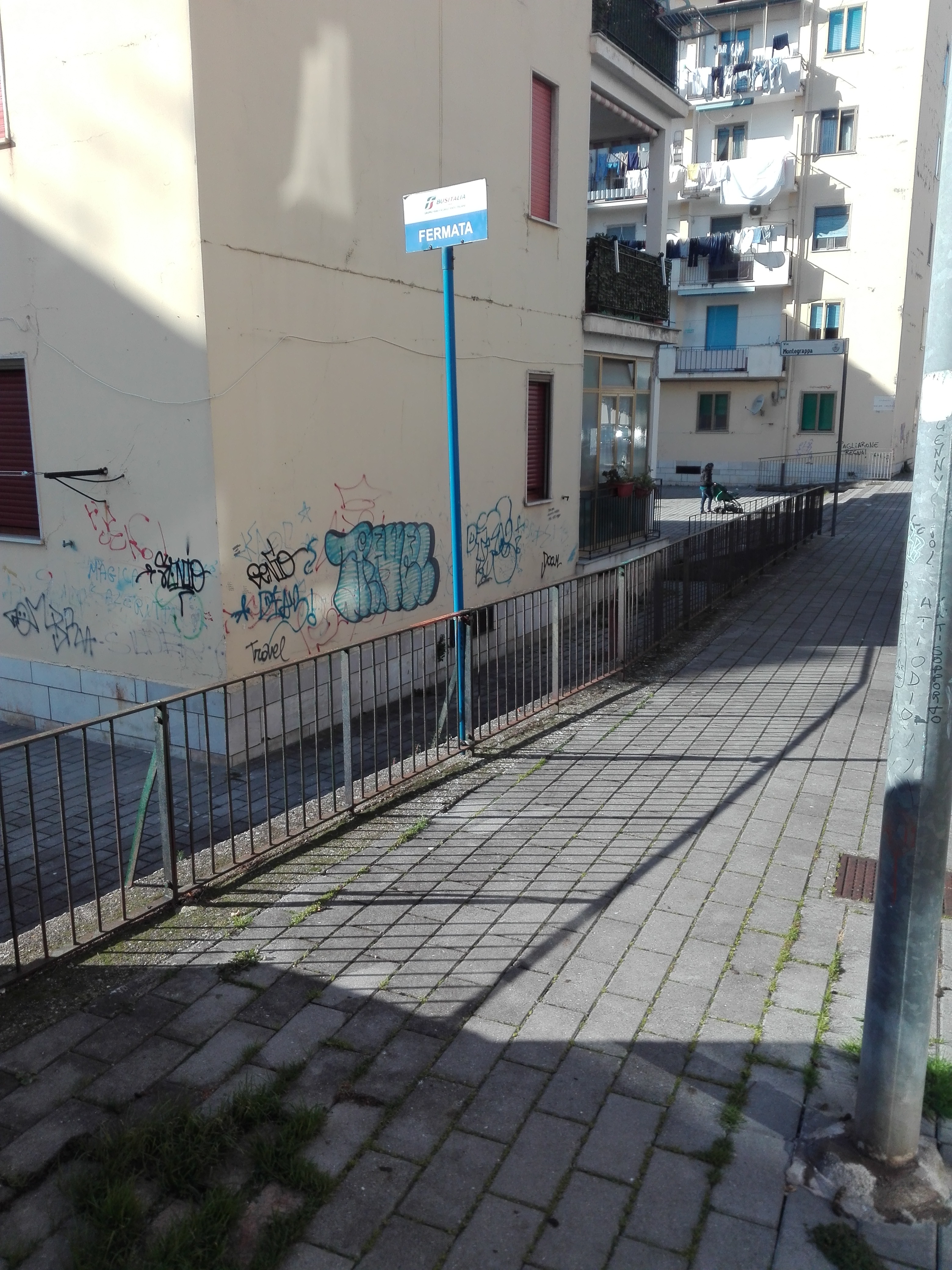 Taken by Domenico S.
See Carso stop, Salerno, on the map
Public transit to Carso stop in Salerno
Looking for directions to Carso in Salerno, Italy?
Download the Moovit App to find the current schedule and step-by-step directions for Bus or Train routes that pass through Carso.
Looking for the nearest stops closest to Carso ? Check out this list of closest stops to your destination: Mariconda Tusciano; Pasubio 6; Mauri Montelungo; Mercatello-Mariconda.
Bus: 24, 25, 40, 8, 11, 12, 6, 22.Train: M.
We make riding on public transit to Carso easy, which is why over 1.5 million users, including users in Salerno trust Moovit as the best app for public transit.
Use the app to navigate to popular places including to the airport, hospital, stadium, grocery store, mall, coffee shop, school, college, and university.
The first line to this stop is 12, at 6:39 AM, and the last line is 25 at 11:18 PM.
Via Carso, Salerno, Italy
This stop serves Busitalia Campania’s lines
- Mariconda Tusciano,
- Pasubio 6,
- Mauri Montelungo
Bus stops near Carso stop
- Mercatello-Mariconda
Train station near Carso station
- Caiazzo - Railway Station,
- Santa Maria A Vico - Roma Square,
- Santa Maria Capua Vetere - Porta Caserta,
- Calata Capodichino,
- Monaci,
- Gragnano - Via Alighieri,
- Boscoreale - Cemetery,
- Posillipo,
- Nettuno Hotel,
- Teora,
- 18 Guglielmo Marconi Street,
- Acciaroli (Pollica Bay),
- Europe Square,
- Torre Annunziata - EAV Depot,
- S. Pasquale,
- Avella - Roundabout,
- Martyrs Square,
- Alfa Lancia 2,
- Via Duca D'Aosta - No. 67-69 Ref.,
- Angri Monte Taccaro (High School)
Popular public transit stations in Salerno
Get around Salerno by public transit!
Traveling around Salerno has never been so easy. See step by step directions as you travel to any attraction, street or major public transit station. View bus and train schedules, arrival times, service alerts and detailed routes on a map, so you know exactly how to get to anywhere in Salerno.
When traveling to any destination around Salerno use Moovit's Live Directions with Get Off Notifications to know exactly where and how far to walk, how long to wait for your line, and how many stops are left. Moovit will alert you when it's time to get off — no need to constantly re-check whether yours is the next stop.
Wondering how to use public transit in Salerno or how to pay for public transit in Salerno? Moovit public transit app can help you navigate your way with public transit easily, and at minimum cost. It includes public transit fees, ticket prices, and costs. Looking for a map of Salerno public transit lines? Moovit public transit app shows all public transit maps in Salerno with all Bus, Train, Metro, Light Rail, Ferry, Funicular and Gondola routes and stops on an interactive map.
Naples has 7 transit type(s), including: Bus, Train, Metro, Light Rail, Ferry, Funicular and Gondola, operated by several transit agencies, including ANM, EAV, EAV (operated by AirCampania), Curreri Travel, Busitalia Campania, SITA Sud, Trenitalia, AIR - Caserta Provincial Lines, AIR - Metropolitan City of Naples Services, AIR Campania (ex CTI-ATI), Shuttle, GepaTour Giugliano, Trotta Mobility Benevento, Alilauro and Caremar S.p.a.