Directions to Carson Tim Gri (Charlottesville) with public transportation
The following transit lines have routes that pass near Carson Tim Gri
 Bus: 8, GREYHOUND US0600, 5.
- Train: NORTHEAST REGIONAL, CARDINAL, CRESCENT, FOOTHILLS EXPRESS.
How to get to Carson Tim Gri by bus?
Click on the bus route to see step by step directions with maps, line arrival times and updated time schedules.
How to get to Carson Tim Gri by train?
Click on the train route to see step by step directions with maps, line arrival times and updated time schedules.
Bus stops near Carson Tim Gri in Charlottesville
Train station near Carson Tim Gri in Charlottesville
- Charlottesville Amtrak Station, 31 min walk,VIEW
What are the closest stations to Carson Tim Gri?
The closest stations to Carson Tim Gri are:
- Barracks Rd at Cedars Ct Northbound is 48 yards away, 1 min walk.
- Kroger at Hydraulic Rd is 389 yards away, 5 min walk.
- Charlottesville Amtrak Station is 2567 yards away, 31 min walk.
Which bus lines stop near Carson Tim Gri?
These bus lines stop near Carson Tim Gri: 8, GREYHOUND US0600.
Which train line stops near Carson Tim Gri?
NORTHEAST REGIONAL (Roanoke)
What’s the nearest bus station to Carson Tim Gri in Charlottesville?
The nearest bus station to Carson Tim Gri in Charlottesville is Barracks Rd at Cedars Ct Northbound. It’s a 1 min walk away.
What time is the first train to Carson Tim Gri in Charlottesville?
The NORTHEAST REGIONAL is the first train that goes to Carson Tim Gri in Charlottesville. It stops nearby at 10:07 AM.
What time is the last train to Carson Tim Gri in Charlottesville?
The CRESCENT is the last train that goes to Carson Tim Gri in Charlottesville. It stops nearby at 8:52 PM.
What time is the first bus to Carson Tim Gri in Charlottesville?
The 5 is the first bus that goes to Carson Tim Gri in Charlottesville. It stops nearby at 6:33 AM.
What time is the last bus to Carson Tim Gri in Charlottesville?
The 5 is the last bus that goes to Carson Tim Gri in Charlottesville. It stops nearby at 10:24 PM.
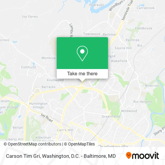
See Carson Tim Gri, Charlottesville, on the map
Public Transit to Carson Tim Gri in Charlottesville
Wondering how to get to Carson Tim Gri in Charlottesville? Moovit helps you find the best way to get to Carson Tim Gri with step-by-step directions from the nearest public transit station.
Moovit provides free maps and live directions to help you navigate through your city. View schedules, routes, timetables, and find out how long does it take to get to Carson Tim Gri in real time.
Looking for the nearest stop or station to Carson Tim Gri? Check out this list of stops closest to your destination: Barracks Rd at Cedars Ct Northbound; Kroger at Hydraulic Rd; Charlottesville Amtrak Station.
Bus: 8, GREYHOUND US0600, 5.Train: NORTHEAST REGIONAL, CARDINAL, CRESCENT, FOOTHILLS EXPRESS.
Want to see if there’s another route that gets you there at an earlier time? Moovit helps you find alternative routes or times. Get directions from and directions to Carson Tim Gri easily from the Moovit App or Website.
We make riding to Carson Tim Gri easy, which is why over 1.5 million users, including users in Charlottesville, trust Moovit as the best app for public transit. You don’t need to download an individual bus app or train app, Moovit is your all-in-one transit app that helps you find the best bus time or train time available.
For information on prices of bus and train, costs and ride fares to Carson Tim Gri, please check the Moovit app.
Use the app to navigate to popular places including to the airport, hospital, stadium, grocery store, mall, coffee shop, school, college, and university.
Carson Tim Gri Address: 1709 Emmet St N Charlottesville, VA 22901 street in Charlottesville
- Cold Stone Creamery,
- B.K.J Food,
- Popeyes Louisiana Kitchen,
- Manley Associates RL Est,
- KFC,
- Raising Cane's Chicken Fingers,
- U-Haul,
- Charlotesville Tire and Auto,
- Ultimate Bliss,
- Nursefinders,
- Aim - Serving Albemarle County and Charlottesville,
- Keister-Williams Advertising Services,
- Nursespring,
- Finally's Hair Studio,
- International Hair Designer,
- Advanced Center for Physical Therapy,
- Beltone Hearing Aid Service,
- US Air Force Nurse Recruiting,
- B Line Logistics,
- Tassco II
Places Near Carson Tim Gri (Charlottesville)
- Sibley Memorial Hospital, Washington,
- Camden Yards, Baltimore,
- Rock Creek Tennis Center, Washington,
- Marriott Marquis Washington, DC, Washington,
- The Anthem, Washington,
- Westfield Montgomery Mall, Montgomery County,
- Washington DC VA Medical Center, Washington,
- Amazon Hq2, Arlington County,
- Georgetown, Washington,
- Capital One Arena, Washington,
- M&T Bank Stadium, Baltimore,
- National Mall, Washington,
- National Zoo, Washington,
- Pennsylvania Ave NW (3rd st and pennsylvania), Washington,
- PG Mall, Prince George's County,
- Basilica of the National Shrine, Washington,
- Warner Theatre, Washington,
- National Museum of African American History and Culture, Washington,
- Museum Of The Bible, Washington,
- Washington National Cathedral, Washington
How to get to popular places in Washington, D.C. - Baltimore, MD with public transit
Get around Charlottesville by public transit!
Traveling around Charlottesville has never been so easy. See step by step directions as you travel to any attraction, street or major public transit station. View bus and train schedules, arrival times, service alerts and detailed routes on a map, so you know exactly how to get to anywhere in Charlottesville.
When traveling to any destination around Charlottesville use Moovit's Live Directions with Get Off Notifications to know exactly where and how far to walk, how long to wait for your line, and how many stops are left. Moovit will alert you when it's time to get off — no need to constantly re-check whether yours is the next stop.
Wondering how to use public transit in Charlottesville or how to pay for public transit in Charlottesville? Moovit public transit app can help you navigate your way with public transit easily, and at minimum cost. It includes public transit fees, ticket prices, and costs. Looking for a map of Charlottesville public transit lines? Moovit public transit app shows all public transit maps in Charlottesville with all Bus, Train, Metro, Light Rail and Ferry routes and stops on an interactive map.
Washington, D.C. - Baltimore, MD has 5 transit type(s), including: Bus, Train, Metro, Light Rail and Ferry, operated by several transit agencies, including WMATA, Montgomery County Ride On, Fairfax Connector, TheBus, PRTC, DASH - Alexandria, Arlington Transit (ART), RTA of Central Maryland, MDOT MTA, MDOT MTA Light RailLink, MDOT MTA Commuter Bus, MDOT MTA Local Bus, FXBGO!, Virginia Railway Express (VRE) and MARC