Directions to Cazères station with public transit
The following transit lines have routes that pass near Cazères
How to get to Cazères station by bus?
Click on the bus route to see step by step directions with maps, line arrival times and updated time schedules.
How to get to Cazères station by train?
Click on the train route to see step by step directions with maps, line arrival times and updated time schedules.
Bus stops near Cazères stop
- Cazeres - Jean Jaurès, 13 min walk,
Bus lines to Cazères station
- 379, Saint-Gaudens / Lavelanet-De-Comminges,
- 380, Cazeres / Toulouse,
What are the closest stations to Cazères?
The closest stations to Cazères are:
- Cazeres - Jean Jaurès is 951 meters away, 13 min walk.
Which bus line stops near Cazères?
380 (Toulouse / Cazeres)
Which train lines stop near Cazères?
These train lines stop near Cazères: C5, K5, P5.
What’s the nearest bus station to Cazères?
The nearest bus station to Cazères is Cazeres - Jean Jaurès. It’s a 13 min walk away.
See Cazères station on the map
Public Transportation to Cazères
Looking for directions to Cazères in Cazères, France?
Download the Moovit App to find the current schedule and step-by-step directions for Bus or Train routes that pass through Cazères.
Looking for the nearest stops closest to Cazères ? Check out this list of closest stops to your destination: Cazeres - Jean Jaurès.
Bus: 380, 379.Train: C5, K5, P5.
We make riding on public transit to Cazères easy, which is why over 1.5 million users, including users in Cazères trust Moovit as the best app for public transit.
Use the app to navigate to popular places including to the airport, hospital, stadium, grocery store, mall, coffee shop, school, college, and university.
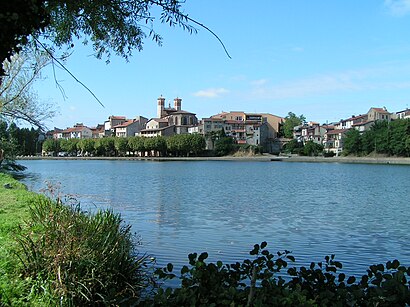
Location: Cazères, Toulouse
Bus stop near Cazères stop
Get around Cazères by public transit!
Traveling around Cazères has never been so easy. See step by step directions as you travel to any attraction, street or major public transit station. View bus and train schedules, arrival times, service alerts and detailed routes on a map, so you know exactly how to get to anywhere in Cazères.
When traveling to any destination around Cazères use Moovit's Live Directions with Get Off Notifications to know exactly where and how far to walk, how long to wait for your line, and how many stops are left. Moovit will alert you when it's time to get off — no need to constantly re-check whether yours is the next stop.
Wondering how to use public transit in Cazères or how to pay for public transit in Cazères? Moovit public transit app can help you navigate your way with public transit easily, and at minimum cost. It includes public transit fees, ticket prices, and costs. Looking for a map of Cazères public transit lines? Moovit public transit app shows all public transit maps in Cazères with all Bus, Train, Metro, Light Rail and Gondola routes and stops on an interactive map.
Toulouse has 5 transit type(s), including: Bus, Train, Metro, Light Rail and Gondola, operated by several transit agencies, including Métro de Toulouse, Tisséo tramway, Tisséo, SNCF VOYAGEURS and HAUTE-GARONNE