How to get to Cellpro Wireless by bus?
Click on the bus route to see step by step directions with maps, line arrival times and updated time schedules.
Bus stop near Cellpro Wireless in Bristol
- Jerome Ave @ Dorothy Rd, 1 min walk,VIEW
Bus lines to Cellpro Wireless in Bristol
- 541, 541b - Bristol Local-Downtown Bristol Via Birchwood Manor,VIEW
What are the closest stations to Cellpro Wireless?
The closest stations to Cellpro Wireless are:
- Jerome Ave @ Dorothy Rd is 22 yards away, 1 min walk.
Which bus lines stop near Cellpro Wireless?
These bus lines stop near Cellpro Wireless: 102, 502, 541, 66.
What’s the nearest bus station to Cellpro Wireless in Bristol?
The nearest bus station to Cellpro Wireless in Bristol is Jerome Ave @ Dorothy Rd. It’s a 1 min walk away.
What time is the first bus to Cellpro Wireless in Bristol?
The 541 is the first bus that goes to Cellpro Wireless in Bristol. It stops nearby at 5:45 AM.
What time is the last bus to Cellpro Wireless in Bristol?
The 541 is the last bus that goes to Cellpro Wireless in Bristol. It stops nearby at 11:59 PM.
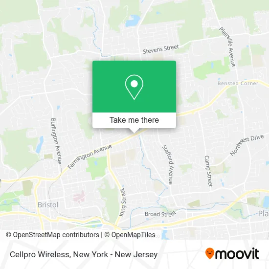
See Cellpro Wireless, Bristol, on the map
Public Transit to Cellpro Wireless in Bristol
Wondering how to get to Cellpro Wireless in Bristol? Moovit helps you find the best way to get to Cellpro Wireless with step-by-step directions from the nearest public transit station.
Moovit provides free maps and live directions to help you navigate through your city. View schedules, routes, timetables, and find out how long does it take to get to Cellpro Wireless in real time.
Looking for the nearest stop or station to Cellpro Wireless? Check out this list of stops closest to your destination: Jerome Ave @ Dorothy Rd.
Bus: 102, 502, 541, 66.
Want to see if there’s another route that gets you there at an earlier time? Moovit helps you find alternative routes or times. Get directions from and directions to Cellpro Wireless easily from the Moovit App or Website.
We make riding to Cellpro Wireless easy, which is why over 1.5 million users, including users in Bristol, trust Moovit as the best app for public transit. You don’t need to download an individual bus app or train app, Moovit is your all-in-one transit app that helps you find the best bus time or train time available.
For information on prices of bus and train, costs and ride fares to Cellpro Wireless, please check the Moovit app.
Use the app to navigate to popular places including to the airport, hospital, stadium, grocery store, mall, coffee shop, school, college, and university.
Cellpro Wireless Address: 819 Farmington Ave street in Bristol
- The Booze Box,
- Plaza Oaxaca Bristol, Ct.,
- Mima's African Hair Braiding and Beauty Supply,
- Atm Avenue News,
- D'Angelo Grilled Sandwiches,
- Applewood Restaurant,
- Santander Bank Atm,
- Farmington Ave Bristol Ct,
- Cvs Store #00288,
- Santander Bank Atm,
- Cvs Beauty,
- Boost Mobile - Bristol,Ct,
- Bonnie's Plaza,
- Rodd's on the Go,
- Tire Depot Llc,
- Atm Cvs,
- Nails 2000,
- Pure Bodywork Llc,
- Boost Mobile,
- DUNKIN'
Places Near Cellpro Wireless (Bristol)
- Rockefeller Center, Manhattan,
- 376 Hudson Street, Manhattan,
- SoHo, Manhattan,
- Wall Street, Manhattan,
- 111 Centre New York City Supreme Court, Manhattan,
- Mountainside Hospital, Glen Ridge,
- 3 Stone St, Manhattan,
- San Gennaro Feast, Manhattan,
- Times Square, Manhattan,
- Queens Center Mall, Queens,
- 66 John Street, Manhattan,
- Hudson Yards, Manhattan,
- Pier 83, Manhattan,
- Bellevue Hospital, Manhattan,
- 911 Memorial, Manhattan,
- Katz's Deli, Manhattan,
- qqqq, Manhattan,
- Chinatown, Manhattan,
- 1 Police Plaza, Manhattan,
- 26 Federal Plaza, Manhattan
How to get to popular places in New York - New Jersey with public transit
Get around Bristol by public transit!
Traveling around Bristol has never been so easy. See step by step directions as you travel to any attraction, street or major public transit station. View bus and train schedules, arrival times, service alerts and detailed routes on a map, so you know exactly how to get to anywhere in Bristol.
When traveling to any destination around Bristol use Moovit's Live Directions with Get Off Notifications to know exactly where and how far to walk, how long to wait for your line, and how many stops are left. Moovit will alert you when it's time to get off — no need to constantly re-check whether yours is the next stop.
Wondering how to use public transit in Bristol or how to pay for public transit in Bristol? Moovit public transit app can help you navigate your way with public transit easily, and at minimum cost. It includes public transit fees, ticket prices, and costs. Looking for a map of Bristol public transit lines? Moovit public transit app shows all public transit maps in Bristol with all Bus, Train, Subway, Light Rail, Ferry and Cable Car routes and stops on an interactive map.
New York - New Jersey has 6 transit type(s), including: Bus, Train, Subway, Light Rail, Ferry and Cable Car, operated by several transit agencies, including MTA Subway, Metro-North Railroad, LIRR, PATH, MTA New York City Transit - Express routes, MTA Bus, NJ Transit, NYC Ferry, NICE bus, Bee-Line Bus, NJ Transit Rail, Norwalk Transit District, Hartford Line, River Valley Transit and HART