Directions to Cemitas Chinos (Vicente Guerrero) with public transportation
The following transit lines have routes that pass near Cemitas Chinos
How to get to Cemitas Chinos by bus?
Click on the bus route to see step by step directions with maps, line arrival times and updated time schedules.
From Casa Blanca, Puebla
66 minFrom amozoc, Puebla
37 minFrom Colonia Independencia, San Pedro Cholula
53 minFrom Panteón de la Piedad: Patrimonio Funerario, San Andrés Cholula
49 minFrom Avenida 18 Poniente & Diagonal Defensores de la República, San Andrés Cholula
37 minFrom Santa Cruz Buenavista, San Pedro Cholula
53 minFrom Camino a San Miguel Espejo, Puebla
94 minFrom Hospital Universitario de Puebla, San Andrés Cholula
43 minFrom Ceuni Puebla, San Andrés Cholula
46 minFrom Centro Comercial Plaza San Pedro, San Andrés Cholula
36 min
Bus stops near Cemitas Chinos in Vicente Guerrero
Bus lines to Cemitas Chinos in Vicente Guerrero
What are the closest stations to Cemitas Chinos?
The closest stations to Cemitas Chinos are:
- Ayuntamiento Norte, 9 is 19 meters away, 1 min walk.
- Pablo Sidar Norte, 11 is 272 meters away, 4 min walk.
- Progreso Norte, 51 is 841 meters away, 11 min walk.
Which bus line stops near Cemitas Chinos?
RUTA UTP (Ramal 1 Lim. Est. Pue - Tlax - Centro)
What’s the nearest bus station to Cemitas Chinos in Vicente Guerrero?
The nearest bus station to Cemitas Chinos in Vicente Guerrero is Ayuntamiento Norte, 9. It’s a 1 min walk away.
What time is the first bus to Cemitas Chinos in Vicente Guerrero?
The RUTA LA JOSEFINA is the first bus that goes to Cemitas Chinos in Vicente Guerrero. It stops nearby at 5:20 AM.
What time is the last bus to Cemitas Chinos in Vicente Guerrero?
The RUTA FLECHA VERDE is the last bus that goes to Cemitas Chinos in Vicente Guerrero. It stops nearby at 10:59 PM.
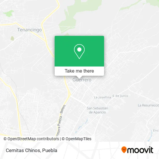
See Cemitas Chinos, Vicente Guerrero, on the map
Public Transit to Cemitas Chinos in Vicente Guerrero
Wondering how to get to Cemitas Chinos in Vicente Guerrero? Moovit helps you find the best way to get to Cemitas Chinos with step-by-step directions from the nearest public transit station.
Moovit provides free maps and live directions to help you navigate through your city. View schedules, routes, timetables, and find out how long does it take to get to Cemitas Chinos in real time.
Looking for the nearest stop or station to Cemitas Chinos? Check out this list of stops closest to your destination: Ayuntamiento Norte; Pablo Sidar Norte; Progreso Norte.
Bus: RUTA UTP, RUTA FLECHA VERDE, RUTA LA JOSEFINA.
Want to see if there’s another route that gets you there at an earlier time? Moovit helps you find alternative routes or times. Get directions from and directions to Cemitas Chinos easily from the Moovit App or Website.
We make riding to Cemitas Chinos easy, which is why over 1.5 million users, including users in Vicente Guerrero, trust Moovit as the best app for public transit. You don’t need to download an individual bus app or train app, Moovit is your all-in-one transit app that helps you find the best bus time or train time available.
For information on prices of bus, costs and ride fares to Cemitas Chinos, please check the Moovit app.
Use the app to navigate to popular places including to the airport, hospital, stadium, grocery store, mall, coffee shop, school, college, and university.
Cemitas Chinos Address: Cemitas Chinos, Calle Venustiano Carranza Norte 13, Barrio San Bartolomé, 90970 San Pablo del Monte street in Vicente Guerrero
- Cristaleria Alex Hermanos,
- Pizza Parther,
- Esteticas Eclipse Unisex,
- Instituto de Compu Ingles de San Pablo,
- Importaciones,
- Bisuteria y Cosmeticos GM,
- Hotel Cacaxtla,
- Mini Súper Oxxy,
- De Antojo,
- Frutas y Verduras Doña Martha,
- Polietilenos Leo,
- Grupo Ferretero Piedras,
- Corporativo Dental Piedras,
- Cristalería Divino Salvador,
- Paletería y Neveria La Michoacana,
- Regalos y Novedades Julia,
- Regalos Wendoly,
- Venta de Tacos y Memelitas,
- Zapateria Chely 2,
- Deposito de Refrescos Comisario
Places Near Cemitas Chinos (Vicente Guerrero)
- Centro Integral de Servicios CIS, San Andrés Cholula,
- Hospital General Regional 36 IMSS San Alejandro, San Andrés Cholula,
- Estadio Cuauhtémoc, Puebla,
- Centro Comercial Angelópolis, San Andrés Cholula,
- Zona de los Fuertes, Puebla,
- Centro de Desarrollo Comunitario Tres Cruces, Puebla,
- Complejo Cultural Universitario, Ocoyucan,
- Hospital Traumatología y Ortopedia de Puebla, San Pedro Cholula,
- Hospital Imss La Margarita, Puebla,
- Parque Puebla, Puebla,
- Ciudad Judicial del Estado de Puebla, San Andrés Cholula,
- SAT, San Andrés Cholula,
- Plaza Las Animas, Puebla,
- Galerías Serdán, San Pedro Cholula,
- Plaza Dorada Centro Comercial, Puebla,
- Secretaria de Finanzas, Puebla,
- Tres Cruces, Puebla,
- 25 Zona Militar, Puebla,
- Parque Ecologico, Pue., San Andrés Cholula,
- Ciudad Universitaria, Puebla
How to get to popular places in Puebla with public transit
Get around Vicente Guerrero by public transit!
Traveling around Vicente Guerrero has never been so easy. See step by step directions as you travel to any attraction, street or major public transit station. View bus and train schedules, arrival times, service alerts and detailed routes on a map, so you know exactly how to get to anywhere in Vicente Guerrero.
When traveling to any destination around Vicente Guerrero use Moovit's Live Directions with Get Off Notifications to know exactly where and how far to walk, how long to wait for your line, and how many stops are left. Moovit will alert you when it's time to get off — no need to constantly re-check whether yours is the next stop.
Wondering how to use public transit in Vicente Guerrero or how to pay for public transit in Vicente Guerrero? Moovit public transit app can help you navigate your way with public transit easily, and at minimum cost. It includes public transit fees, ticket prices, and costs. Looking for a map of Vicente Guerrero public transit lines? Moovit public transit app shows all public transit maps in Vicente Guerrero with all bus routes and stops on an interactive map.
Puebla has 1 transit type(s), including: bus, operated by several transit agencies, including RUTA, RUTA Alimentadoras, Rutas Convencionales and Líneas temporales