How to get to Cenaduria by bus?
Click on the bus route to see step by step directions with maps, line arrival times and updated time schedules.
From Cinemas Kristal, Aguascalientes
51 minFrom Walmart, Aguascalientes
62 minFrom Av. de los Maestros, Aguascalientes
59 minFrom ISSSTE, Aguascalientes
55 minFrom Fracc. Santa Imelda, Aguascalientes
63 minFrom Lohu Construcciones, Aguascalientes
79 minFrom Lomas del Gachupín, Aguascalientes
51 minFrom Fracc. Versalles 2da. Sección, Aguascalientes
61 minFrom Barragan, Aguascalientes
34 minFrom Versalles Segunda Seccion, Aguascalientes
58 min
Bus stops near Cenaduria in Aguascalientes
Bus lines to Cenaduria in Aguascalientes
What are the closest stations to Cenaduria?
The closest stations to Cenaduria are:
- Avenida José De Jesús González García, 120 is 494 meters away, 7 min walk.
- Sicómoro, 104 is 644 meters away, 9 min walk.
- Avenida José De Jesús González García, 601a is 911 meters away, 12 min walk.
- Ramón Fernández Moreno, 303 is 929 meters away, 12 min walk.
- Florida I is 1157 meters away, 15 min walk.
Which bus line stops near Cenaduria?
RUTA 37 (Utma)
What’s the nearest bus station to Cenaduria in Aguascalientes?
The nearest bus station to Cenaduria in Aguascalientes is Avenida José De Jesús González García, 120. It’s a 7 min walk away.
What time is the first bus to Cenaduria in Aguascalientes?
The RUTA 37 is the first bus that goes to Cenaduria in Aguascalientes. It stops nearby at 5:53 AM.
What time is the last bus to Cenaduria in Aguascalientes?
The RUTA 43 is the last bus that goes to Cenaduria in Aguascalientes. It stops nearby at 10:46 PM.
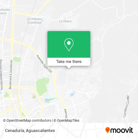
See Cenaduria, Aguascalientes, on the map
Public Transit to Cenaduria in Aguascalientes
Wondering how to get to Cenaduria in Aguascalientes? Moovit helps you find the best way to get to Cenaduria with step-by-step directions from the nearest public transit station.
Moovit provides free maps and live directions to help you navigate through your city. View schedules, routes, timetables, and find out how long does it take to get to Cenaduria in real time.
Looking for the nearest stop or station to Cenaduria? Check out this list of stops closest to your destination: Avenida José De Jesús González García; Sicómoro; Avenida José De Jesús González García; Ramón Fernández Moreno; Florida I.
Bus: RUTA 37, RUTA 08, RUTA 43, RUTA 43, RUTA 09, RUTA 09.
Want to see if there’s another route that gets you there at an earlier time? Moovit helps you find alternative routes or times. Get directions from and directions to Cenaduria easily from the Moovit App or Website.
We make riding to Cenaduria easy, which is why over 1.5 million users, including users in Aguascalientes, trust Moovit as the best app for public transit. You don’t need to download an individual bus app or train app, Moovit is your all-in-one transit app that helps you find the best bus time or train time available.
For information on prices of bus, costs and ride fares to Cenaduria, please check the Moovit app.
Use the app to navigate to popular places including to the airport, hospital, stadium, grocery store, mall, coffee shop, school, college, and university.
Cenaduria Address: Calle Villa del Prado 120, Fraccionamiento Villa Loma Dorada, 20126 Aguascalientes, Aguascalientes street in Aguascalientes
- Hot Dog y Hamburguesas,
- Papeleria de la Loma,
- Hamburguesas Be-King-Oz,
- Paletería y Neveria,
- Abarrotes Alemán,
- Gorditas Yolis,
- Abarrotes Jaime y Alexis,
- Abarrotes La Estrella de Jalisco,
- Papelería y Regalos Janett,
- María Elena Cabral Medina,
- Papeleria Katherine,
- Rosticería Sandy,
- Paraíso,
- Abarrotes Rosy,
- Papeleria Hannia,
- WESTERN UNION,
- Villa de Nuestra Señora de La Asunción,
- Papeleria Estrella Marisol,
- Modelorama Notre Dame 1,
- Taqueria El Villano del Taco
Places Near Cenaduria (Aguascalientes)
- La Isla San Marcos, Aguascalientes,
- Blvd. Luis Donaldo Colosio, Aguascalientes,
- Villasuncion, Aguascalientes,
- Isla San Marcos, Aguascalientes,
- clinica 3 uaa, Aguascalientes,
- Jesús María, Aguascalientes,
- Universidad Autónoma de Aguascalientes, Aguascalientes,
- Hospital Imss No. 3, Aguascalientes,
- Villas de Nuestra Señora de la Asunción, Aguascalientes,
- Imss Clinica 1, Aguascalientes,
- ESPACIOS, Aguascalientes,
- Centro Comercial Altaria, Aguascalientes,
- Ciudad industrial, Aguascalientes,
- Aeropuerto de Aguascalientes S.A. de C.V., Aguascalientes,
- Agropecuario, Aguascalientes,
- Centro, Aguascalientes,
- Central De Autobuses, Aguascalientes,
- Nuevo Hospital Hidalgo, Aguascalientes,
- Parque Las Tres Centurias, Aguascalientes,
- Terminal De Combis, Aguascalientes
How to get to popular places in Aguascalientes with public transit
Get around Aguascalientes by public transit!
Traveling around Aguascalientes has never been so easy. See step by step directions as you travel to any attraction, street or major public transit station. View bus and train schedules, arrival times, service alerts and detailed routes on a map, so you know exactly how to get to anywhere in Aguascalientes.
When traveling to any destination around Aguascalientes use Moovit's Live Directions with Get Off Notifications to know exactly where and how far to walk, how long to wait for your line, and how many stops are left. Moovit will alert you when it's time to get off — no need to constantly re-check whether yours is the next stop.
Wondering how to use public transit in Aguascalientes or how to pay for public transit in Aguascalientes? Moovit public transit app can help you navigate your way with public transit easily, and at minimum cost. It includes public transit fees, ticket prices, and costs. Looking for a map of Aguascalientes public transit lines? Moovit public transit app shows all public transit maps in Aguascalientes with all bus routes and stops on an interactive map.
Aguascalientes has 1 transit type(s), including: bus, operated by several transit agencies, including Coordinación General de Movilidad