Chalkstone After Fern stop - Sunday schedule
| Line | Direction | Time |
|---|---|---|
| 56 | Kennedy Plaza Via Chalkstone Ave | 7:01 AM |
| 56 | Kennedy Plaza Via Chalkstone Ave | 7:36 AM |
| 56 | Kennedy Plaza Via Chalkstone Ave | 8:11 AM |
| 56 | Kennedy Plaza Via Chalkstone Ave | 8:46 AM |
| 56 | Kennedy Plaza Via Chalkstone Ave | 9:21 AM |
| 56 | Kennedy Plaza Via Chalkstone Ave | 9:56 AM |
| 56 | Kennedy Plaza Via Chalkstone Ave | 10:30 AM |
| 56 | Kennedy Plaza Via Chalkstone Ave | 11:05 AM |
| 56 | Kennedy Plaza Via Chalkstone Ave | 11:40 AM |
| 56 | Kennedy Plaza Via Chalkstone Ave | 12:15 PM |
| 56 | Kennedy Plaza Via Chalkstone Ave | 12:50 PM |
| 56 | Kennedy Plaza Via Chalkstone Ave | 1:25 PM |
| 56 | Kennedy Plaza Via Chalkstone Ave | 2:00 PM |
| 56 | Kennedy Plaza Via Chalkstone Ave | 2:35 PM |
| 56 | Kennedy Plaza Via Chalkstone Ave | 3:09 PM |
| 56 | Kennedy Plaza Via Chalkstone Ave | 3:44 PM |
| 56 | Kennedy Plaza Via Chalkstone Ave | 4:19 PM |
| 56 | Kennedy Plaza Via Chalkstone Ave | 4:55 PM |
| 56 | Kennedy Plaza Via Chalkstone Ave | 5:30 PM |
| 56 | Kennedy Plaza Via Chalkstone Ave | 6:06 PM |
| 56 | Kennedy Plaza Via Chalkstone Ave | 6:41 PM |
| 56 | Kennedy Plaza Via Chalkstone Ave | 7:16 PM |
| 56 | Kennedy Plaza Via Chalkstone Ave | 7:51 PM |
Directions to Chalkstone After Fern stop (Boston) with public transit
The following transit lines have routes that pass near Chalkstone After Fern
 Bus: 1, 56, 57.
- Train: PROVIDENCE/STOUGHTON, ACELA, NORTHEAST REGIONAL, PROVIDENCE LINE SHUTTLE, PROVIDENCE LINE SHUTTLE.
How to get to Chalkstone After Fern stop by bus?
Click on the bus route to see step by step directions with maps, line arrival times and updated time schedules.
How to get to Chalkstone After Fern stop by train?
Click on the train route to see step by step directions with maps, line arrival times and updated time schedules.
Bus stops near Chalkstone After Fern stop in Boston
- Chalkstone & River (After River), 2 min walk,
- Smith Opposite Maude, 12 min walk,
Train stations near Chalkstone After Fern station in Boston
- Providence, 16 min walk,
Bus lines to Chalkstone After Fern stop in Boston
- 56, Kennedy Plaza Via Chalkstone Ave,
- 57, Kennedy Plaza Via Smith St,
What are the closest stations to Chalkstone After Fern?
The closest stations to Chalkstone After Fern are:
- Chalkstone & River (After River) stop is 144 yards away, 2 min walk.
- Smith Opposite Maude stop is 980 yards away, 12 min walk.
- Providence station is 1316 yards away, 16 min walk.
Which bus lines stop near Chalkstone After Fern?
These bus lines stop near Chalkstone After Fern: 1, 56.
Which train line stops near Chalkstone After Fern?
PROVIDENCE/STOUGHTON (#827 | Wickford Junction)
What’s the nearest train station to Chalkstone After Fern in Boston?
The nearest train station to Chalkstone After Fern in Boston is Providence. It’s a 16 min walk away.
What’s the nearest bus station to Chalkstone After Fern in Boston?
The nearest bus station to Chalkstone After Fern in Boston is Chalkstone & River (After River). It’s a 2 min walk away.
What time is the first train to Chalkstone After Fern in Boston?
The PROVIDENCE/STOUGHTON is the first train that goes to Chalkstone After Fern in Boston. It stops nearby at 4:12 AM.
What time is the last train to Chalkstone After Fern in Boston?
The NORTHEAST REGIONAL is the last train that goes to Chalkstone After Fern in Boston. It stops nearby at 9:17 AM.
What time is the first bus to Chalkstone After Fern in Boston?
The 57 is the first bus that goes to Chalkstone After Fern in Boston. It stops nearby at 5:49 AM.
What time is the last bus to Chalkstone After Fern in Boston?
The 56 is the last bus that goes to Chalkstone After Fern in Boston. It stops nearby at 10:45 PM.
Chalkstone After Fern station
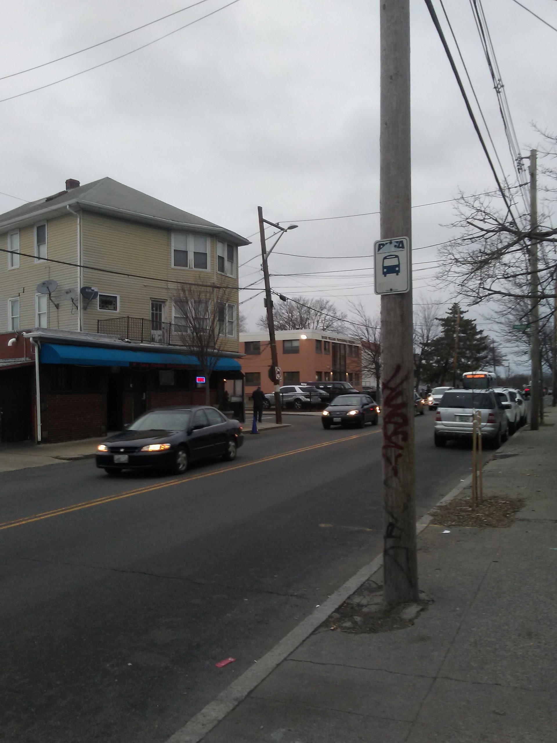 Taken by Anonymous
See Chalkstone After Fern stop, Boston, on the map
Public transit to Chalkstone After Fern stop (ID: 017925) in Boston
Looking for directions to Chalkstone After Fern in Boston, United States?
Download the Moovit App to find the current schedule and step-by-step directions for Bus or Train routes that pass through Chalkstone After Fern.
Looking for the nearest stops closest to Chalkstone After Fern ? Check out this list of closest stops to your destination: Chalkstone & River (After River); Smith Opposite Maude; Providence.
Bus: 1, 56, 57.Train: PROVIDENCE/STOUGHTON, ACELA, NORTHEAST REGIONAL, PROVIDENCE LINE SHUTTLE, PROVIDENCE LINE SHUTTLE, PROVIDENCE LINE SHUTTLE, FOXBORO EVENT SERVICE.
We make riding on public transit to Chalkstone After Fern easy, which is why over 1.7 billion users, including users in Boston trust Moovit as the best app for public transit.
Use the app to navigate to popular places including to the airport, hospital, stadium, grocery store, mall, coffee shop, school, college, and university.
Chalkstone After Fern stop’s code is 017925
The first line to this stop is 56, at 7:01 AM, and the last line is 56 at 7:51 PM.
912 Chalkstone Ave, Providence, RI, USA
This stop serves Rhode Island Public Transit Authority’s lines
- Chalkstone & River (After River),
- Smith Opposite Maude
Bus stops near Chalkstone After Fern stop
- Providence
Train station near Chalkstone After Fern station
- Mill St @ Bacon St,
- Millennium Park,
- Monument Square,
- Main St @ Centre St,
- Beach St @ Harris St,
- Fields Corner,
- Winthrop St @ Medford Hs,
- Market St @ Guest St,
- Washington St @ Cypress St,
- Washington St @ Washington Terr,
- Dudley St @ Uphams Corner Station,
- Necc Haverhill Campus,
- Southampton St @ Newmarket Sq,
- Dock Square,
- Anderson/Woburn,
- Walnut Ave @ Dale St,
- North Main St And Oak St,
- 1045 Trapelo Rd,
- Mcgrath Hwy Opp Twin City Plaza,
- Eliot
Popular public transit stations in Boston
Get around Boston by public transit!
Traveling around Boston has never been so easy. See step by step directions as you travel to any attraction, street or major public transit station. View bus and train schedules, arrival times, service alerts and detailed routes on a map, so you know exactly how to get to anywhere in Boston.
When traveling to any destination around Boston use Moovit's Live Directions with Get Off Notifications to know exactly where and how far to walk, how long to wait for your line, and how many stops are left. Moovit will alert you when it's time to get off — no need to constantly re-check whether yours is the next stop.
Wondering how to use public transit in Boston or how to pay for public transit in Boston? Moovit public transit app can help you navigate your way with public transit easily, and at minimum cost. It includes public transit fees, ticket prices, and costs. Looking for a map of Boston public transit lines? Moovit public transit app shows all public transit maps in Boston with all Bus, Train, Subway and Ferry routes and stops on an interactive map.
Boston has 4 transit type(s), including: Bus, Train, Subway and Ferry, operated by several transit agencies, including MBTA, Southeastern Regional Transit Authority, MetroWest Regional Transit Authority, Rhode Island Public Transit Authority, WRTA, Lowell Regional Transit Authority, MEVA, Montachusett Regional Transit Authority, Cape Cod Regional Transit Authority, Brockton Area Transit Authority, Martha's Vineyard Transit Authority, Nantucket Regional Transit Authority, GATRA, Cape Ann Transportation Authority and Massport