Chaponost station - Monday schedule
| Line | Direction | Time |
|---|---|---|
| C9 | Lyon Saint-Paul | 8:03 AM |
| C9 | Brignais | 9:26 AM |
| C9 | Lyon Saint-Paul | 10:03 AM |
| C9 | Brignais | 11:26 AM |
| C9 | Lyon Saint-Paul | 12:03 PM |
| C9 | Brignais | 1:26 PM |
| C9 | Lyon Saint-Paul | 2:03 PM |
| C9 | Brignais | 3:26 PM |
| C9 | Lyon Saint-Paul | 4:03 PM |
| C9 | Brignais | 5:26 PM |
| C9 | Lyon Saint-Paul | 6:03 PM |
| C9 | Brignais | 7:26 PM |
| C9 | Lyon Saint-Paul | 8:03 PM |
| C9 | Brignais | 9:26 PM |
Directions to Chaponost station with public transit
The following transit lines have routes that pass near Chaponost
 Bus: 12, 11.
- Train: C9.
- Metro: B.
How to get to Chaponost station by bus?
Click on the bus route to see step by step directions with maps, line arrival times and updated time schedules.
How to get to Chaponost station by train?
Click on the train route to see step by step directions with maps, line arrival times and updated time schedules.
How to get to Chaponost station by metro?
Click on the metro route to see step by step directions with maps, line arrival times and updated time schedules.
Bus stops near Chaponost stop
- Chaponost Gare, 1 min walk,
Train stations near Chaponost station
- Brignais, 24 min walk,
Metro stations near Chaponost station
- Oullins Centre, 27 min walk,
Bus lines to Chaponost station
- 11, Thurins Mairie,
- 12, Gare D'Oullins,
What are the closest stations to Chaponost?
The closest stations to Chaponost are:
- Chaponost Gare stop is 15 meters away, 1 min walk.
- Brignais station is 1815 meters away, 24 min walk.
- Oullins Centre station is 2078 meters away, 27 min walk.
Which bus line stops near Chaponost?
12 (Gare D'Oullins)
Which train line stops near Chaponost?
C9 (Brignais)
Which metro line stops near Chaponost?
B (St-Genis-Laval Hôp. Sud)
What’s the nearest metro station to Chaponost?
The nearest metro station to Chaponost is Oullins Centre. It’s a 27 min walk away.
What’s the nearest train station to Chaponost?
The nearest train station to Chaponost is Brignais. It’s a 24 min walk away.
What’s the nearest bus station to Chaponost?
The nearest bus station to Chaponost is Chaponost Gare. It’s a 1 min walk away.
What time is the first metro to Chaponost?
The B is the first metro that goes to Chaponost. It stops nearby at 4:49 AM.
What time is the last metro to Chaponost?
The B is the last metro that goes to Chaponost. It stops nearby at 2:12 AM.
What time is the first train to Chaponost?
The C9 is the first train that goes to Chaponost. It stops nearby at 8:00 AM.
What time is the last train to Chaponost?
The C9 is the last train that goes to Chaponost. It stops nearby at 9:33 PM.
What time is the first bus to Chaponost?
The 12 is the first bus that goes to Chaponost. It stops nearby at 8:47 AM.
What time is the last bus to Chaponost?
The 12 is the last bus that goes to Chaponost. It stops nearby at 12:57 AM.
See Chaponost station on the map
Public transit to Chaponost station
Looking for directions to Chaponost in Chaponost, France?
Download the Moovit App to find the current schedule and step-by-step directions for Bus, Metro or Train routes that pass through Chaponost.
Looking for the nearest stops closest to Chaponost ? Check out this list of closest stops to your destination: Chaponost Gare; Brignais; Oullins Centre.
Bus: 12, 11.Train: C9.Metro: B.
We make riding on public transit to Chaponost easy, which is why over 1.7 billion users, including users in Chaponost trust Moovit as the best app for public transit.
Use the app to navigate to popular places including to the airport, hospital, stadium, grocery store, mall, coffee shop, school, college, and university.
The station has the following entrances: 1 - Route De La Gare
The first line to this station is C9, at 8:03 AM, and the last line is C9 at 9:26 PM.
Chaponost Gare, Chaponost, France
This station serves SNCF VOYAGEURS’s lines
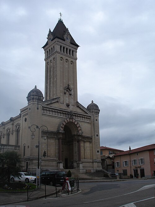
Chaponost (French pronunciation: [ʃapɔno]) is a commune in the Rhône department in eastern France. It is known for its Roman aqueducts.Wiki
Popular routes from Chaponost station
- Chaponost Gare
Bus stop near Chaponost stop
- Brignais
Train station near Chaponost station
- Oullins Centre
Metro station near Chaponost station
- Hameau De Bianne,
- St Romain Centre,
- Cci Nord-Isere,
- Ayasse - Yves Farge,
- Campus Région Numérique,
- Feyzin-Tcl-Gare,
- 4 Chemins - La Salette,
- Champfleury,
- Brotteaux,
- Montée Des Soldats,
- Montchat Place Ronde,
- Foch - Roosevelt Métro,
- Gare De Givors Ville,
- Hôpital Croix-Rousse,
- Ecully Le Perollier,
- Joliot Curie - Marcel Sembat,
- Vernaison Place,
- Gare De St Fons,
- Craponne Dumont,
- St-Fons Dussurgey
Popular public transit stations in Chaponost
Get around Chaponost by public transit!
Traveling around Chaponost has never been so easy. See step by step directions as you travel to any attraction, street or major public transit station. View bus and train schedules, arrival times, service alerts and detailed routes on a map, so you know exactly how to get to anywhere in Chaponost.
When traveling to any destination around Chaponost use Moovit's Live Directions with Get Off Notifications to know exactly where and how far to walk, how long to wait for your line, and how many stops are left. Moovit will alert you when it's time to get off — no need to constantly re-check whether yours is the next stop.
Wondering how to use public transit in Chaponost or how to pay for public transit in Chaponost? Moovit public transit app can help you navigate your way with public transit easily, and at minimum cost. It includes public transit fees, ticket prices, and costs. Looking for a map of Chaponost public transit lines? Moovit public transit app shows all public transit maps in Chaponost with all Bus, Train, Metro, Light Rail and Funicular routes and stops on an interactive map.
Lyon has 5 transit type(s), including: Bus, Train, Metro, Light Rail and Funicular, operated by several transit agencies, including TCL SYTRAL, TCL – Bus service renforcé, SNCF VOYAGEURS, OCEdefault, Conseil Régional Auvergne - Rhône-Alpes, Lignes de Vienne et Agglomération, Rhônexpress and Ruban Porte de l'Isère