How to get to ChargePoint by bus?
Click on the bus route to see step by step directions with maps, line arrival times and updated time schedules.
From B & B Electronics, Edmonton
121 minFrom Hope City Church, Edmonton
135 minFrom McNally School, Edmonton
72 minFrom Edmonton River Valley, Edmonton
64 minFrom ETS Bus Route 66, Edmonton
148 minFrom R&D Hot Tubs, Edmonton
113 minFrom Mcnally High School, Edmonton
71 minFrom W. P. Wagner School, Edmonton
104 minFrom Checkpoint Charlie Survival Supplies, Edmonton
103 minFrom Campus St-Jean, Edmonton
95 min
Bus stops near ChargePoint in Strathcona County
Bus lines to ChargePoint in Strathcona County
What are the closest stations to ChargePoint?
The closest stations to ChargePoint are:
- Fir St & Willow St is 194 meters away, 3 min walk.
- Wye Rd & Ash St is 445 meters away, 6 min walk.
- Fir St is 591 meters away, 8 min walk.
Which bus line stops near ChargePoint?
411 (Bethel)
What’s the nearest bus station to ChargePoint in Strathcona County?
The nearest bus station to ChargePoint in Strathcona County is Fir St & Willow St. It’s a 3 min walk away.
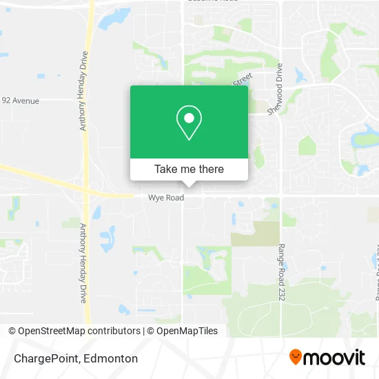
See ChargePoint, Strathcona County, on the map
Public Transit to ChargePoint in Strathcona County
Wondering how to get to ChargePoint in Strathcona County? Moovit helps you find the best way to get to ChargePoint with step-by-step directions from the nearest public transit station.
Moovit provides free maps and live directions to help you navigate through your city. View schedules, routes, timetables, and find out how long does it take to get to ChargePoint in real time.
Looking for the nearest stop or station to ChargePoint? Check out this list of stops closest to your destination: Fir St & Willow St; Wye Rd & Ash St; Fir St.
Bus: 411, 443, 441, 451.
Want to see if there’s another route that gets you there at an earlier time? Moovit helps you find alternative routes or times. Get directions from and directions to ChargePoint easily from the Moovit App or Website.
We make riding to ChargePoint easy, which is why over 1.5 million users, including users in Strathcona County, trust Moovit as the best app for public transit. You don’t need to download an individual bus app or train app, Moovit is your all-in-one transit app that helps you find the best bus time or train time available.
For information on prices of bus and light rail, costs and ride fares to ChargePoint, please check the Moovit app.
Use the app to navigate to popular places including to the airport, hospital, stadium, grocery store, mall, coffee shop, school, college, and university.
ChargePoint Address: 1020 Sherwood Dr Strathcona County, AB T8A street in Strathcona County
- COBS BREAD,
- Second Specs,
- DOLLARAMA,
- Ace Liquor Wye Road,
- Napa Auto Parts,
- Club Pilates,
- Wye Dental,
- Pzza.Co,
- OPA! of Greece,
- Little Caesars Pizza,
- Bc Ferries Alert Bay Terminal,
- save on foods,
- Seasmoke Whale Watching,
- Boys & Girls Club of Strathcona County,
- Silk Seam Tailors,
- Dream Kitchens and Baths,
- Amazon Locker-Yousuf,
- BMO Bank of Montreal,
- STARBUCKS,
- Coco Nails & Spa
Places Near ChargePoint (Strathcona County)
- Londonderry Mall, Edmonton,
- Borden Park, Edmonton,
- Fort Edmonton Park, Edmonton,
- Edmonton Valley Zoo, Edmonton,
- Canada Place Service Canada Centre, Edmonton,
- Whyte Avenue, Edmonton,
- MacEwan University, Edmonton,
- Kingsway Mall, Edmonton,
- Edmonton Commonwealth Stadium, Edmonton,
- West Edmonton Mall, Edmonton,
- Cross Cancer Institute, Edmonton,
- University of Alberta, Edmonton,
- Grey Nuns Community Hospital, Edmonton,
- Alberta Legislature Building, Edmonton,
- Royal Alexandra Hospital, Edmonton,
- Kaye Edmonton Clinic, Edmonton,
- Northgate Centre, Edmonton,
- Edmonton EXPO Centre, Edmonton,
- Edmonton VIA Rail Station, Edmonton,
- Rogers Place, Edmonton
How to get to popular places in Edmonton with public transit
Get around Strathcona County by public transit!
Traveling around Strathcona County has never been so easy. See step by step directions as you travel to any attraction, street or major public transit station. View bus and train schedules, arrival times, service alerts and detailed routes on a map, so you know exactly how to get to anywhere in Strathcona County.
When traveling to any destination around Strathcona County use Moovit's Live Directions with Get Off Notifications to know exactly where and how far to walk, how long to wait for your line, and how many stops are left. Moovit will alert you when it's time to get off — no need to constantly re-check whether yours is the next stop.
Wondering how to use public transit in Strathcona County or how to pay for public transit in Strathcona County? Moovit public transit app can help you navigate your way with public transit easily, and at minimum cost. It includes public transit fees, ticket prices, and costs. Looking for a map of Strathcona County public transit lines? Moovit public transit app shows all public transit maps in Strathcona County with all Bus and Light Rail routes and stops on an interactive map.
Edmonton has 2 transit type(s), including: Bus and Light Rail, operated by several transit agencies, including ETS LRT, ETS, Strathcona County Transit, St. Albert Transit, Spruce Grove Transit, Fort Saskatchewan Transit, Beaumont Transit and Leduc Transit