How to get to ChargePoint by bus?
Click on the bus route to see step by step directions with maps, line arrival times and updated time schedules.
From Hilton Cabana Miami Beach, Miami Beach
38 minFrom North Bay Village, Miami Beach
54 minFrom Sensual Massage 4 Women, Miami Beach
55 minFrom Hollywood Beach, Hollywood
71 minFrom Miami Norland Senior High School, Miami Gardens
101 minFrom West Park, Florida, Hallandale Beach
95 minFrom Sawgrass Mills Mall, Miami
68 minFrom Dolphin Mall, Miami
73 minFrom South Broward High School, Hollywood
75 minFrom Joe Dimaggio Children's Hospital, Hollywood
90 min
Bus stops near ChargePoint in Miami Beach
Bus lines to ChargePoint in Miami Beach
What are the closest stations to ChargePoint?
The closest stations to ChargePoint are:
- 250 174 St is 34 yards away, 1 min walk.
- Winston Towers is 157 yards away, 2 min walk.
- N Bay Rd & 174 St is 261 yards away, 4 min walk.
Which bus lines stop near ChargePoint?
These bus lines stop near ChargePoint: 100, 75, SUNNYOR.
What’s the nearest bus station to ChargePoint in Miami Beach?
The nearest bus station to ChargePoint in Miami Beach is 250 174 St. It’s a 1 min walk away.
What time is the first bus to ChargePoint in Miami Beach?
The 75 is the first bus that goes to ChargePoint in Miami Beach. It stops nearby at 4:58 AM.
What time is the last bus to ChargePoint in Miami Beach?
The 75 is the last bus that goes to ChargePoint in Miami Beach. It stops nearby at 11:28 PM.
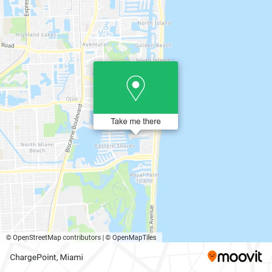
See ChargePoint, Miami Beach, on the map
Public Transit to ChargePoint in Miami Beach
Wondering how to get to ChargePoint in Miami Beach? Moovit helps you find the best way to get to ChargePoint with step-by-step directions from the nearest public transit station.
Moovit provides free maps and live directions to help you navigate through your city. View schedules, routes, timetables, and find out how long does it take to get to ChargePoint in real time.
Looking for the nearest stop or station to ChargePoint? Check out this list of stops closest to your destination: 250 174 St; Winston Towers; N Bay Rd & 174 St.
Bus: 100, 75, SUNNYOR, SUNNYBL.
Want to see if there’s another route that gets you there at an earlier time? Moovit helps you find alternative routes or times. Get directions from and directions to ChargePoint easily from the Moovit App or Website.
We make riding to ChargePoint easy, which is why over 1.5 million users, including users in Miami Beach, trust Moovit as the best app for public transit. You don’t need to download an individual bus app or train app, Moovit is your all-in-one transit app that helps you find the best bus time or train time available.
For information on prices of bus, costs and ride fares to ChargePoint, please check the Moovit app.
Use the app to navigate to popular places including to the airport, hospital, stadium, grocery store, mall, coffee shop, school, college, and university.
ChargePoint Address: 174th St North Miami Beach, FL 33160 street in Miami Beach
- CL 250 174 Street,
- Custom Group,
- Divina Group,
- Shaare Tsyon - Beit David,
- Viking Factory Certified Appliance Repair,
- Royal Dixie Manor of Fl,
- CNNX,
- Winston Tower 700 Condominium Association,
- Condor Services,
- Full House Moving and Storage,
- Botox and Fillers Chemical Peel Silhouette,
- Hvac,
- Seo & sem Marketing Agency - RMB Games,
- 17395 N Bay Rd Parking,
- Bonum Communications,
- Bellisimorealty LLC,
- Everscan,
- S&W on the Water,
- NRD Limo,
- Winston Towers 400 Condo Association
Places Near ChargePoint (Miami Beach)
- Miami Design District, Miami,
- Sawgrass mall ( FL ), Miami Beach,
- Brickell City Centre, Miami,
- Miami Freedom Park, Miami,
- Port of Miami Cruise Terminal, Miami,
- Miami-Dade County Courthouse, Miami,
- Dolphin Mall, Miami,
- Wynwood, Miami,
- Bayside Marketplace, Miami,
- Miami VA Hospital, Miami,
- Zoo Miami, Miami,
- Richard E. Gerstein Justice Building, Miami,
- Aventura Mall, Miami Beach,
- Sawgrass Mall, Miami,
- Little Havana, Miami,
- Aventura Mall, Miami,
- Dolphin Mall Bus, Miami,
- Keiser University Flagship Campus, West Palm Beach,
- Hard Rock Stadium, Miami Gardens,
- Marlins Park, Miami
How to get to popular places in Miami with public transit
Get around Miami Beach by public transit!
Traveling around Miami Beach has never been so easy. See step by step directions as you travel to any attraction, street or major public transit station. View bus and train schedules, arrival times, service alerts and detailed routes on a map, so you know exactly how to get to anywhere in Miami Beach.
When traveling to any destination around Miami Beach use Moovit's Live Directions with Get Off Notifications to know exactly where and how far to walk, how long to wait for your line, and how many stops are left. Moovit will alert you when it's time to get off — no need to constantly re-check whether yours is the next stop.
Wondering how to use public transit in Miami Beach or how to pay for public transit in Miami Beach? Moovit public transit app can help you navigate your way with public transit easily, and at minimum cost. It includes public transit fees, ticket prices, and costs. Looking for a map of Miami Beach public transit lines? Moovit public transit app shows all public transit maps in Miami Beach with all Bus, Train, Light Rail and Ferry routes and stops on an interactive map.
Miami has 4 transit type(s), including: Bus, Train, Light Rail and Ferry, operated by several transit agencies, including Broward County Transit, Miami-Dade Transit, Metrorail, Palm Tran, Tri-Rail, Brightline, MARTY, City of Homestead Trolley, Key West Transit, Treasure Coast Connector, GoLine IRT, Amtrak, Greyhound-us, FlixBus-us and Aventura Express Shuttle Bus