Directions to ChargePoint (Jupiter) with public transportation
The following transit lines have routes that pass near ChargePoint
 Bus: 10.
How to get to ChargePoint by bus?
Click on the bus route to see step by step directions with maps, line arrival times and updated time schedules.
From Suncoast Community High School, Riviera Beach
112 minFrom HCA Florida JFK North Hospital-ER, West Palm Beach
144 minFrom Donald Ross Rd / Military Trl, Jupiter
38 minFrom The Ballpark of the Palm Beaches, West Palm Beach
117 minFrom William T. Dwyer High School, Jupiter
45 minFrom Magnolia Park, West Palm Beach
150 minFrom Singer Island, Riviera Beach
118 minFrom Congress/45th Street, West Palm Beach
125 minFrom Suncoast High School, Riviera Beach
106 min
Bus stop near ChargePoint in Jupiter
- MAPLEWOOD RD at INDIANTOWN RD, 7 min walk,VIEW
Bus lines to ChargePoint in Jupiter
- 10, Rt 10 Southbound,VIEW
What are the closest stations to ChargePoint?
The closest stations to ChargePoint are:
- MAPLEWOOD RD at INDIANTOWN RD is 514 yards away, 7 min walk.
Which bus line stops near ChargePoint?
10 (Rt 10 Northbound)
What’s the nearest bus station to ChargePoint in Jupiter?
The nearest bus station to ChargePoint in Jupiter is MAPLEWOOD RD at INDIANTOWN RD. It’s a 7 min walk away.
What time is the first bus to ChargePoint in Jupiter?
The 10 is the first bus that goes to ChargePoint in Jupiter. It stops nearby at 6:05 AM.
What time is the last bus to ChargePoint in Jupiter?
The 10 is the last bus that goes to ChargePoint in Jupiter. It stops nearby at 7:53 PM.
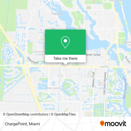
See ChargePoint, Jupiter, on the map
Public Transit to ChargePoint in Jupiter
Wondering how to get to ChargePoint in Jupiter? Moovit helps you find the best way to get to ChargePoint with step-by-step directions from the nearest public transit station.
Moovit provides free maps and live directions to help you navigate through your city. View schedules, routes, timetables, and find out how long does it take to get to ChargePoint in real time.
Looking for the nearest stop or station to ChargePoint? Check out this list of stops closest to your destination: MAPLEWOOD RD at INDIANTOWN RD.
Bus: 10.
Want to see if there’s another route that gets you there at an earlier time? Moovit helps you find alternative routes or times. Get directions from and directions to ChargePoint easily from the Moovit App or Website.
We make riding to ChargePoint easy, which is why over 1.5 million users, including users in Jupiter, trust Moovit as the best app for public transit. You don’t need to download an individual bus app or train app, Moovit is your all-in-one transit app that helps you find the best bus time or train time available.
For information on prices of bus, costs and ride fares to ChargePoint, please check the Moovit app.
Use the app to navigate to popular places including to the airport, hospital, stadium, grocery store, mall, coffee shop, school, college, and university.
ChargePoint Address: 1555 Indiantown Rd W Jupiter, FL 33458 street in Jupiter
- ATM,
- Your CBD Store Jupiter,
- Terry's Gone To the Dogs,
- Luke's Dixie Donuts,
- Tres Tacos,
- Skinlab Medspa,
- Indiantown Rd. and Maplewood Dr.,
- Edward Jones Investments,
- Ultimate Solutions Med Spa and Antiaging,
- Melissa Tammy Fein,
- Lojo Sports,
- Alcohol Detection Systems Ignition Interlock,
- Depot,
- Minute Key,
- Jordan the Handyman,
- 1694 W Indiantown Rd Parking,
- Spine & Joint Treatment Center,
- redbox,
- Able Limo,
- Bonilla Torregroza Architecture
Places Near ChargePoint (Jupiter)
- Little Havana, Miami,
- Wynwood, Miami,
- Brickell City Centre, Miami,
- Aventura Mall, Miami Beach,
- Sawgrass mall ( FL ), Miami Beach,
- Miami-Dade County Courthouse, Miami,
- Keiser University Flagship Campus, West Palm Beach,
- Zoo Miami, Miami,
- Miami Design District, Miami,
- Richard E. Gerstein Justice Building, Miami,
- Port of Miami Cruise Terminal, Miami,
- Bayside Marketplace, Miami,
- Marlins Park, Miami,
- Aventura Mall, Miami,
- Miami Freedom Park, Miami,
- Sawgrass Mall, Miami,
- Dolphin Mall, Miami,
- Dolphin Mall Bus, Miami,
- Hard Rock Stadium, Miami Gardens,
- Miami VA Hospital, Miami
How to get to popular places in Miami with public transit
Get around Jupiter by public transit!
Traveling around Jupiter has never been so easy. See step by step directions as you travel to any attraction, street or major public transit station. View bus and train schedules, arrival times, service alerts and detailed routes on a map, so you know exactly how to get to anywhere in Jupiter.
When traveling to any destination around Jupiter use Moovit's Live Directions with Get Off Notifications to know exactly where and how far to walk, how long to wait for your line, and how many stops are left. Moovit will alert you when it's time to get off — no need to constantly re-check whether yours is the next stop.
Wondering how to use public transit in Jupiter or how to pay for public transit in Jupiter? Moovit public transit app can help you navigate your way with public transit easily, and at minimum cost. It includes public transit fees, ticket prices, and costs. Looking for a map of Jupiter public transit lines? Moovit public transit app shows all public transit maps in Jupiter with all Bus, Train, Light Rail and Ferry routes and stops on an interactive map.
Miami has 4 transit type(s), including: Bus, Train, Light Rail and Ferry, operated by several transit agencies, including Broward County Transit, Miami-Dade Transit, Metrorail, Palm Tran, Tri-Rail, Brightline, MARTY, City of Homestead Trolley, Key West Transit, Treasure Coast Connector, GoLine IRT, Amtrak, Greyhound-us, FlixBus-us and Aventura Express Shuttle Bus