Directions to ChargePoint (Miami) with public transportation
The following transit lines have routes that pass near ChargePoint
 Bus: 100, 183, 9, PURPLE EXPRESS ROUTE, SATURDAY NIGHT EXPRESS SOUTH ROUTE.
- Train: BLFM.
How to get to ChargePoint by bus?
Click on the bus route to see step by step directions with maps, line arrival times and updated time schedules.
From Collins Ave / 80th St, Miami Beach
44 minFrom Calder Casino, Miami Gardens
76 minFrom Walmart (Walmart Miami Gardens - NW 27th Ave), Miami Gardens
63 minFrom Dolphin Mall, Miami
61 minFrom Hard Rock Stadium, Miami Gardens
78 minFrom Miami International Autodrome F1 Track, Miami Gardens
82 minFrom Hollywood Beach-Broadwalk, Hollywood
78 minFrom Walmart Supercenter, Hollywood
62 minFrom Oakwood Plaza, Hollywood
63 minFrom South Broward High School, Hollywood
48 min
Bus stops near ChargePoint in Miami
Train station near ChargePoint in Miami
- Aventura, 38 min walk,VIEW
Bus lines to ChargePoint in Miami
- PURPLE EXPRESS ROUTE, Circular with library,VIEW
- SATURDAY NIGHT EXPRESS SOUTH ROUTE, Aventura Mall Transit Terminal,VIEW
- SILVER EXPRESS ROUTE, Circular without Library,VIEW
- YELLOW EXPRESS ROUTE , Circular Without Library,VIEW
- AVTYEL, Yellow,VIEW
- 3, 3 - Downtown Miami,VIEW
- 9, 9a - Aventura Mall Terminal Via 171 St,VIEW
- 183, 183 - Okeechobee Station,VIEW
- 203, 203 - Downtown Miami,VIEW
- 100, 100 - Aventura Mall Terminal Via Beach,VIEW
- AVTGRN, Green,VIEW
- SUNNYBL, Blue,VIEW
- SUNNYOR, Orange,VIEW
- 28, Aventura Mall,VIEW
- 01, Us 1 Local,VIEW
- 101, Us 1 Breeze,VIEW
What are the closest stations to ChargePoint?
The closest stations to ChargePoint are:
- Town Center Aventure / Publix is 429 yards away, 6 min walk.
- Town Center / Publix is 432 yards away, 6 min walk.
- Biscayne Bd & Ne 191 St is 454 yards away, 6 min walk.
- W Country Club Dr & Op #19333 (S/n) is 953 yards away, 12 min walk.
- Country Club D/#19501 is 1023 yards away, 13 min walk.
- Aventura Mall is 1631 yards away, 20 min walk.
- Aventura is 3225 yards away, 38 min walk.
Which bus lines stop near ChargePoint?
These bus lines stop near ChargePoint: 100, 183, 9, PURPLE EXPRESS ROUTE.
What’s the nearest bus station to ChargePoint in Miami?
The nearest bus stations to ChargePoint in Miami are Town Center Aventure / Publix, Town Center / Publix and Biscayne Bd & Ne 191 St. The closest one is a 6 min walk away.
What time is the first train to ChargePoint in Miami?
The BLFM is the first train that goes to ChargePoint in Miami. It stops nearby at 6:09 AM.
What time is the last train to ChargePoint in Miami?
The BLFM is the last train that goes to ChargePoint in Miami. It stops nearby at 12:07 AM.
What time is the first bus to ChargePoint in Miami?
The 3 is the first bus that goes to ChargePoint in Miami. It stops nearby at 3:18 AM.
What time is the last bus to ChargePoint in Miami?
The 100 is the last bus that goes to ChargePoint in Miami. It stops nearby at 3:16 AM.
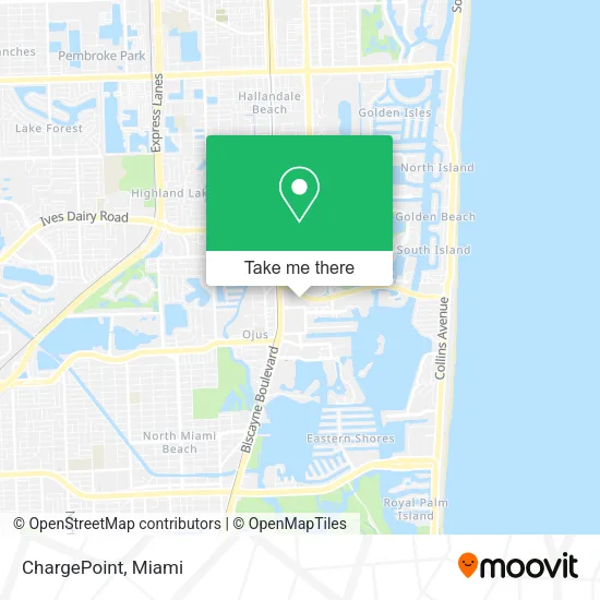
See ChargePoint, Miami, on the map
Public Transit to ChargePoint in Miami
Wondering how to get to ChargePoint in Miami? Moovit helps you find the best way to get to ChargePoint with step-by-step directions from the nearest public transit station.
Moovit provides free maps and live directions to help you navigate through your city. View schedules, routes, timetables, and find out how long does it take to get to ChargePoint in real time.
Looking for the nearest stop or station to ChargePoint? Check out this list of stops closest to your destination: Town Center Aventure / Publix; Town Center / Publix; Biscayne Bd & Ne 191 St; W Country Club Dr & Op #19333 (S/n); Country Club D/#19501; Aventura Mall; Aventura.
Bus: 100, 183, 9, PURPLE EXPRESS ROUTE, SATURDAY NIGHT EXPRESS SOUTH ROUTE, SILVER EXPRESS ROUTE, YELLOW EXPRESS ROUTE , AVTYEL, 3, 203, AVTGRN, SUNNYBL, SUNNYOR, 28.Train: BLFM.
Want to see if there’s another route that gets you there at an earlier time? Moovit helps you find alternative routes or times. Get directions from and directions to ChargePoint easily from the Moovit App or Website.
We make riding to ChargePoint easy, which is why over 1.5 million users, including users in Miami, trust Moovit as the best app for public transit. You don’t need to download an individual bus app or train app, Moovit is your all-in-one transit app that helps you find the best bus time or train time available.
For information on prices of bus, costs and ride fares to ChargePoint, please check the Moovit app.
Use the app to navigate to popular places including to the airport, hospital, stadium, grocery store, mall, coffee shop, school, college, and university.
ChargePoint Address: 2885 NE 191st St Miami, FL 33180 street in Miami
- Collapen,
- Masters Research Partners,
- Adr Partners,
- Retag,
- One Way Realty Group, LLC.,
- Peña Architecture and Engineering Corp.,
- Jennifer Azan - Relatedisg,
- Rakib Mohiuddin - Intuit Turbotax Verified Pro,
- Plusheadhunters,
- Gables Insurance Agency Corp,
- Karen Matluck, Realtor - Luxury Real Estate Consultant,
- Warehouse & Distribution Staffing,
- Cayman Enterprises,
- David Ettinger, LCSW - Therapist in Miami Aventura Florida,
- The Wedding Lawyers,
- Eco Professional Restoration,
- Guerami Law,
- Dermazen Spa,
- Blue Arch Capital,
- Coolsmart Medical Logistics
Places Near ChargePoint (Miami)
- Miami-Dade County Courthouse, Miami,
- Zoo Miami, Miami,
- Miami VA Hospital, Miami,
- Miami Design District, Miami,
- Keiser University Flagship Campus, West Palm Beach,
- Richard E. Gerstein Justice Building, Miami,
- Dolphin Mall, Miami,
- Port of Miami Cruise Terminal, Miami,
- Wynwood, Miami,
- Little Havana, Miami,
- Sawgrass mall ( FL ), Miami Beach,
- Marlins Park, Miami,
- Aventura Mall, Miami Beach,
- Bayside Marketplace, Miami,
- Miami Freedom Park, Miami,
- Dolphin Mall Bus, Miami,
- Brickell City Centre, Miami,
- Sawgrass Mall, Miami,
- Hard Rock Stadium, Miami Gardens,
- Aventura Mall, Miami
How to get to popular places in Miami with public transit
Get around Miami by public transit!
Traveling around Miami has never been so easy. See step by step directions as you travel to any attraction, street or major public transit station. View bus and train schedules, arrival times, service alerts and detailed routes on a map, so you know exactly how to get to anywhere in Miami.
When traveling to any destination around Miami use Moovit's Live Directions with Get Off Notifications to know exactly where and how far to walk, how long to wait for your line, and how many stops are left. Moovit will alert you when it's time to get off — no need to constantly re-check whether yours is the next stop.
Wondering how to use public transit in Miami or how to pay for public transit in Miami? Moovit public transit app can help you navigate your way with public transit easily, and at minimum cost. It includes public transit fees, ticket prices, and costs. Looking for a map of Miami public transit lines? Moovit public transit app shows all public transit maps in Miami with all Bus, Train, Light Rail and Ferry routes and stops on an interactive map.
Miami has 4 transit type(s), including: Bus, Train, Light Rail and Ferry, operated by several transit agencies, including Broward County Transit, Miami-Dade Transit, Metrorail, Palm Tran, Tri-Rail, Brightline, MARTY, City of Homestead Trolley, Key West Transit, Treasure Coast Connector, GoLine IRT, Amtrak, Greyhound-us, FlixBus-us and Aventura Express Shuttle Bus