How to get to ChargePoint by bus?
Click on the bus route to see step by step directions with maps, line arrival times and updated time schedules.
From Technocentre Renault, Guyancourt
59 minFrom Parly 2, Le Chesnay
66 minFrom Guyancourt, Guyancourt
56 minFrom Camp militaire de Frileuse, Beynes
57 minFrom Hôpital la Porte Verte, Versailles
67 minFrom Versailles-Chantiers, Versailles
50 minFrom Le Chesnay, Le Chesnay
69 minFrom Clinique des Franciscaines, Versailles
59 minFrom Buc, Buc
65 minFrom Magny-Les-Hameaux, Rambouillet
72 min
Bus stops near ChargePoint in Elancourt
Bus lines to ChargePoint in Elancourt
What are the closest stations to ChargePoint?
The closest stations to ChargePoint are:
- Blaise Pascal is 59 meters away, 1 min walk.
- Normandie - Niemen is 126 meters away, 2 min walk.
- Gay Lussac is 276 meters away, 4 min walk.
- Pissaloup is 427 meters away, 6 min walk.
Which bus lines stop near ChargePoint?
These bus lines stop near ChargePoint: 5133, 7801, 7805, 7817.
What’s the nearest bus station to ChargePoint in Elancourt?
The nearest bus station to ChargePoint in Elancourt is Blaise Pascal. It’s a 1 min walk away.
What time is the first bus to ChargePoint in Elancourt?
The 5120 is the first bus that goes to ChargePoint in Elancourt. It stops nearby at 4:58 AM.
What time is the last bus to ChargePoint in Elancourt?
The 5133 is the last bus that goes to ChargePoint in Elancourt. It stops nearby at 11:32 PM.
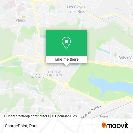
See ChargePoint, Elancourt, on the map
Public Transit to ChargePoint in Elancourt
Wondering how to get to ChargePoint in Elancourt? Moovit helps you find the best way to get to ChargePoint with step-by-step directions from the nearest public transit station.
Moovit provides free maps and live directions to help you navigate through your city. View schedules, routes, timetables, and find out how long does it take to get to ChargePoint in real time.
Looking for the nearest stop or station to ChargePoint? Check out this list of stops closest to your destination: Blaise Pascal; Normandie - Niemen; Gay Lussac; Pissaloup.
Bus: 5133, 7801, 7805, 7817, 5114, 7815, 5120, 5367.
Want to see if there’s another route that gets you there at an earlier time? Moovit helps you find alternative routes or times. Get directions from and directions to ChargePoint easily from the Moovit App or Website.
We make riding to ChargePoint easy, which is why over 1.5 million users, including users in Elancourt, trust Moovit as the best app for public transit. You don’t need to download an individual bus app or train app, Moovit is your all-in-one transit app that helps you find the best bus time or train time available.
For information on prices of bus, RER and train, costs and ride fares to ChargePoint, please check the Moovit app.
Use the app to navigate to popular places including to the airport, hospital, stadium, grocery store, mall, coffee shop, school, college, and university.
ChargePoint Address: Avenue Denis Diderot 78990 Élancourt street in Elancourt
- Covidien. Elancourt Center of Excellence,
- Ltie,
- Pissaloup,
- 3is Campus,
- O'Jump Park Élancourt,
- 3IS - Salle 106,
- ZAC de la Clé de Saint Pierre,
- 1 Rue du Maréchal de Lattre de Tassigny,
- 11 Avenue Jean d'Alembert,
- ZAC de la Clé Saint Pierre,
- 3IS - Institut International de l'Image et du Son,
- Parc d'activités Pissaloup,
- Résidence Étudiante de 3is,
- 3is Institut International de L'Image Et du Son,
- Agence TNT,
- 3is,
- Mare de la Tournelle,
- De Lattre de Tassigny,
- Ginger Cebtp,
- 7 Rue Blaise Pascal
Places Near ChargePoint (Elancourt)
- Hôpital Necker, Paris,
- Gare Routière Flixbus, Paris,
- Hôpital de la Pitié-Salpêtrière, Paris,
- Atelier Des Lumieres, Paris,
- Centre Hospitalier des 15/20, Paris,
- Hôpital Beaujon, Clichy,
- Hôpital Henri Mondor, Creteil,
- Beaugrenelle, Paris,
- Hôpital Saint-Joseph, Paris,
- Galeries Lafayette Haussmann, Paris,
- Hôpital Pitié Salpêtrière, Paris,
- Hopital Lariboisière, Paris,
- Théâtre Mogador, Paris,
- Marché Saint-Pierre, Paris,
- 29 Rue Manin, Paris,
- Galeries Lafayette, Paris,
- Fondation Louis Vuitton, Paris,
- Hopital Foch, Suresnes,
- Créteil Soleil, Creteil,
- Hôpital Cochin, Paris
How to get to popular places in Paris with public transit
Get around Elancourt by public transit!
Traveling around Elancourt has never been so easy. See step by step directions as you travel to any attraction, street or major public transit station. View bus and train schedules, arrival times, service alerts and detailed routes on a map, so you know exactly how to get to anywhere in Elancourt.
When traveling to any destination around Elancourt use Moovit's Live Directions with Get Off Notifications to know exactly where and how far to walk, how long to wait for your line, and how many stops are left. Moovit will alert you when it's time to get off — no need to constantly re-check whether yours is the next stop.
Wondering how to use public transit in Elancourt or how to pay for public transit in Elancourt? Moovit public transit app can help you navigate your way with public transit easily, and at minimum cost. It includes public transit fees, ticket prices, and costs. Looking for a map of Elancourt public transit lines? Moovit public transit app shows all public transit maps in Elancourt with all Bus, Train, Metro, Light Rail, RER, Funicular and Gondola routes and stops on an interactive map.
Paris has 7 transit type(s), including: Bus, Train, Metro, Light Rail, RER, Funicular and Gondola, operated by several transit agencies, including RATP, RER, RER Bus de remplacement, Train, Train Bus de remplacement, Tramway Bus de remplacement, TER, ADP, Magical Shuttle, Argenteuil - Boucles de Seine, Autocars Dominique, Bièvre, Brie et 2 Morin, Le Bus - C.C. du Clermontois and Cœur d’Essonne