How to get to ChargePoint by bus?
Click on the bus route to see step by step directions with maps, line arrival times and updated time schedules.
From Springfield Mall, Fairfax County
50 minFrom United States Patent & Trademark Office (USPTO), Alexandria
29 minFrom Mwaa Fire Station 301, Arlington County
77 minFrom Residence Inn by Marriott Arlington Capital View, Arlington County
63 minFrom Department of State SA 34, Fairfax County
83 minFrom Thomas Jefferson High School for Science and Technology, Fairfax County
75 minFrom Renaissance Arlington Capital View Hotel, Arlington County
64 minFrom Alexandria Station - AMTRAK/VRE (ALX), Alexandria
32 minFrom The Westin Alexandria Old Town, Alexandria
28 minFrom AMC Theatres-Hoffman Center 22, Alexandria
23 min
Bus stops near ChargePoint in Fairfax County
Metro station near ChargePoint in Fairfax County
- Huntington, 51 min walk,VIEW
Bus lines to ChargePoint in Fairfax County
What are the closest stations to ChargePoint?
The closest stations to ChargePoint are:
- Richmond Hwy And Arlington Dr is 115 yards away, 2 min walk.
- Richmond Hwy @ Arlington Dr is 238 yards away, 4 min walk.
- Fordson Rd @ Beechcraft Dr is 253 yards away, 4 min walk.
- Huntington is 4301 yards away, 51 min walk.
Which bus lines stop near ChargePoint?
These bus lines stop near ChargePoint: 151, 171, F1X.
What’s the nearest bus station to ChargePoint in Fairfax County?
The nearest bus station to ChargePoint in Fairfax County is Richmond Hwy And Arlington Dr. It’s a 2 min walk away.
What time is the first metro to ChargePoint in Fairfax County?
The YELLOW is the first metro that goes to ChargePoint in Fairfax County. It stops nearby at 5:00 AM.
What time is the last metro to ChargePoint in Fairfax County?
The YELLOW is the last metro that goes to ChargePoint in Fairfax County. It stops nearby at 12:39 AM.
What time is the first bus to ChargePoint in Fairfax County?
The 171 is the first bus that goes to ChargePoint in Fairfax County. It stops nearby at 3:54 AM.
What time is the last bus to ChargePoint in Fairfax County?
The 171 is the last bus that goes to ChargePoint in Fairfax County. It stops nearby at 1:54 AM.
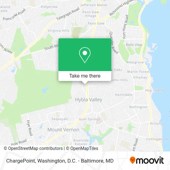
See ChargePoint, Fairfax County, on the map
Public Transit to ChargePoint in Fairfax County
Wondering how to get to ChargePoint in Fairfax County? Moovit helps you find the best way to get to ChargePoint with step-by-step directions from the nearest public transit station.
Moovit provides free maps and live directions to help you navigate through your city. View schedules, routes, timetables, and find out how long does it take to get to ChargePoint in real time.
Looking for the nearest stop or station to ChargePoint? Check out this list of stops closest to your destination: Richmond Hwy And Arlington Dr; Richmond Hwy @ Arlington Dr; Fordson Rd @ Beechcraft Dr; Huntington.
Bus: 151, 171, F1X, 159, 161, 162.Metro: YELLOW.
Want to see if there’s another route that gets you there at an earlier time? Moovit helps you find alternative routes or times. Get directions from and directions to ChargePoint easily from the Moovit App or Website.
We make riding to ChargePoint easy, which is why over 1.5 million users, including users in Fairfax County, trust Moovit as the best app for public transit. You don’t need to download an individual bus app or train app, Moovit is your all-in-one transit app that helps you find the best bus time or train time available.
For information on prices of bus and metro, costs and ride fares to ChargePoint, please check the Moovit app.
Use the app to navigate to popular places including to the airport, hospital, stadium, grocery store, mall, coffee shop, school, college, and university.
ChargePoint Address: 7421 Fordson Rd Alexandria, VA 22306 street in Fairfax County
- Mobile Glass Service,
- SK Communications of VA,
- B A Barber and Beauty,
- Yahaira Dominican Hair Salon,
- Ticks Exterminators,
- United Community,
- UMC,
- Termites Exterminators,
- Dust N Shine Cleaning Services,
- Household Plumbers Plumbers,
- Dollar and More Superstore,
- Min Beirut Cuisine,
- Green Olive Buffet,
- Ledo Pizza Hybla Valley, VA,
- Izzynails,
- Heavenly Joy Health CA,
- Richmond Hwy Locksmith,
- Nieto Multi Servicios,
- Fast Painters,
- Hybla Valley Airport Historical Marker
Places Near ChargePoint (Fairfax County)
- The Anthem, Washington,
- National Zoo, Washington,
- PG Mall, Prince George's County,
- National Mall, Washington,
- Westfield Montgomery Mall, Montgomery County,
- Museum Of The Bible, Washington,
- Washington National Cathedral, Washington,
- Capital One Arena, Washington,
- National Museum of African American History and Culture, Washington,
- M&T Bank Stadium, Baltimore,
- Camden Yards, Baltimore,
- Basilica of the National Shrine, Washington,
- Georgetown, Washington,
- Pennsylvania Ave NW (3rd st and pennsylvania), Washington,
- Rock Creek Tennis Center, Washington,
- Warner Theatre, Washington,
- Marriott Marquis Washington, DC, Washington,
- Washington DC VA Medical Center, Washington,
- Sibley Memorial Hospital, Washington,
- Amazon Hq2, Arlington County
How to get to popular places in Washington, D.C. - Baltimore, MD with public transit
Get around Fairfax County by public transit!
Traveling around Fairfax County has never been so easy. See step by step directions as you travel to any attraction, street or major public transit station. View bus and train schedules, arrival times, service alerts and detailed routes on a map, so you know exactly how to get to anywhere in Fairfax County.
When traveling to any destination around Fairfax County use Moovit's Live Directions with Get Off Notifications to know exactly where and how far to walk, how long to wait for your line, and how many stops are left. Moovit will alert you when it's time to get off — no need to constantly re-check whether yours is the next stop.
Wondering how to use public transit in Fairfax County or how to pay for public transit in Fairfax County? Moovit public transit app can help you navigate your way with public transit easily, and at minimum cost. It includes public transit fees, ticket prices, and costs. Looking for a map of Fairfax County public transit lines? Moovit public transit app shows all public transit maps in Fairfax County with all Bus, Train, Metro, Light Rail and Ferry routes and stops on an interactive map.
Washington, D.C. - Baltimore, MD has 5 transit type(s), including: Bus, Train, Metro, Light Rail and Ferry, operated by several transit agencies, including WMATA, Montgomery County Ride On, Fairfax Connector, TheBus, PRTC, DASH - Alexandria, Arlington Transit (ART), RTA of Central Maryland, MDOT MTA, MDOT MTA Light RailLink, MDOT MTA Commuter Bus, MDOT MTA Local Bus, FXBGO!, Virginia Railway Express (VRE) and MARC