How to get to ChargePoint by bus?
Click on the bus route to see step by step directions with maps, line arrival times and updated time schedules.
From Inova Fairfax Hospital North Tower Building, Fairfax County
35 minFrom Baileys Crossroads, Fairfax County
55 minFrom Defense Health Agency Headquarters, Fairfax County
59 minFrom Punch Bowl Social, Arlington County
47 minFrom Marymount University Campus, Arlington County
49 minFrom Seven Corners Center (Seven Corners Shopping Center Falls Church VA), Fairfax County
44 minFrom The Westin Arlington Gateway, Arlington County
46 minFrom Walmart, Arlington County
44 minFrom Sibley Memorial Hospital, Washington
132 minFrom Falls Church Marriott Fairview Park, Fairfax County
54 min
How to get to ChargePoint by metro?
Click on the metro route to see step by step directions with maps, line arrival times and updated time schedules.
Bus stops near ChargePoint in Fairfax County
Metro stations near ChargePoint in Fairfax County
Bus lines to ChargePoint in Fairfax County
What are the closest stations to ChargePoint?
The closest stations to ChargePoint are:
- Leesburg Pk+Towers Crescent Dr is 195 yards away, 3 min walk.
- Leesburg Pike And Tysons Corner Ctr is 382 yards away, 5 min walk.
- Gallows Rd @ Gallows Branch Rd is 491 yards away, 7 min walk.
- Gallows Rd @ Boone Blvd is 571 yards away, 8 min walk.
- Spring Hill is 1777 yards away, 21 min walk.
- Dunn Loring Merrifield Metro Station is 5192 yards away, 61 min walk.
Which bus lines stop near ChargePoint?
These bus lines stop near ChargePoint: 401, A70, F20.
Which metro line stops near ChargePoint?
SILVER (Ashburn)
What’s the nearest metro station to ChargePoint in Fairfax County?
The nearest metro station to ChargePoint in Fairfax County is Spring Hill. It’s a 21 min walk away.
What’s the nearest bus station to ChargePoint in Fairfax County?
The nearest bus station to ChargePoint in Fairfax County is Leesburg Pk+Towers Crescent Dr. It’s a 3 min walk away.
What time is the first metro to ChargePoint in Fairfax County?
The ORANGE is the first metro that goes to ChargePoint in Fairfax County. It stops nearby at 5:04 AM.
What time is the last metro to ChargePoint in Fairfax County?
The SILVER is the last metro that goes to ChargePoint in Fairfax County. It stops nearby at 12:43 AM.
What time is the first bus to ChargePoint in Fairfax County?
The 401 is the first bus that goes to ChargePoint in Fairfax County. It stops nearby at 4:24 AM.
What time is the last bus to ChargePoint in Fairfax County?
The F20 is the last bus that goes to ChargePoint in Fairfax County. It stops nearby at 2:01 AM.
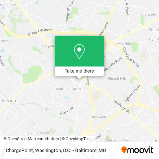
See ChargePoint, Fairfax County, on the map
Public Transit to ChargePoint in Fairfax County
Wondering how to get to ChargePoint in Fairfax County? Moovit helps you find the best way to get to ChargePoint with step-by-step directions from the nearest public transit station.
Moovit provides free maps and live directions to help you navigate through your city. View schedules, routes, timetables, and find out how long does it take to get to ChargePoint in real time.
Looking for the nearest stop or station to ChargePoint? Check out this list of stops closest to your destination: Leesburg Pk+Towers Crescent Dr; Leesburg Pike And Tysons Corner Ctr; Gallows Rd @ Gallows Branch Rd; Gallows Rd @ Boone Blvd; Spring Hill; Dunn Loring Merrifield Metro Station.
Bus: 401, A70, F20, 721, 462, 467.Metro: SILVER, ORANGE.
Want to see if there’s another route that gets you there at an earlier time? Moovit helps you find alternative routes or times. Get directions from and directions to ChargePoint easily from the Moovit App or Website.
We make riding to ChargePoint easy, which is why over 1.5 million users, including users in Fairfax County, trust Moovit as the best app for public transit. You don’t need to download an individual bus app or train app, Moovit is your all-in-one transit app that helps you find the best bus time or train time available.
For information on prices of bus and metro, costs and ride fares to ChargePoint, please check the Moovit app.
Use the app to navigate to popular places including to the airport, hospital, stadium, grocery store, mall, coffee shop, school, college, and university.
ChargePoint Address: 8027 Leesburg Pike Vienna, VA 22182 street in Fairfax County
- George's Gym,
- Patsy's American,
- Air Conditioning Company,
- Butterfly Photography,
- Ark Commercial Services,
- Kelly & Company LLC,
- Di Biase Law Firm, PLLC,
- K.Arcadia HQ,
- Passion Home Health Services LLC,
- Elevar Group,
- Command Information,
- DMV It Service LLC,
- John Norce - Unitedhealthcare Licensed Sales Agent,
- The Law Office of Shaina Silvers Immigration Services,
- Mold Relief - Inspection - Removal - Remediation,
- Tysons Event Space,
- Core IV Therapy,
- Zentek Consulting,
- Realty Resources LLC,
- Biopharma Global
Places Near ChargePoint (Fairfax County)
- Basilica of the National Shrine, Washington,
- PG Mall, Prince George's County,
- National Zoo, Washington,
- Westfield Montgomery Mall, Montgomery County,
- Camden Yards, Baltimore,
- The Anthem, Washington,
- Rock Creek Tennis Center, Washington,
- Warner Theatre, Washington,
- Marriott Marquis Washington, DC, Washington,
- M&T Bank Stadium, Baltimore,
- Museum Of The Bible, Washington,
- Sibley Memorial Hospital, Washington,
- National Museum of African American History and Culture, Washington,
- Amazon Hq2, Arlington County,
- National Mall, Washington,
- Washington National Cathedral, Washington,
- Georgetown, Washington,
- Pennsylvania Ave NW (3rd st and pennsylvania), Washington,
- Washington DC VA Medical Center, Washington,
- Capital One Arena, Washington
How to get to popular places in Washington, D.C. - Baltimore, MD with public transit
Get around Fairfax County by public transit!
Traveling around Fairfax County has never been so easy. See step by step directions as you travel to any attraction, street or major public transit station. View bus and train schedules, arrival times, service alerts and detailed routes on a map, so you know exactly how to get to anywhere in Fairfax County.
When traveling to any destination around Fairfax County use Moovit's Live Directions with Get Off Notifications to know exactly where and how far to walk, how long to wait for your line, and how many stops are left. Moovit will alert you when it's time to get off — no need to constantly re-check whether yours is the next stop.
Wondering how to use public transit in Fairfax County or how to pay for public transit in Fairfax County? Moovit public transit app can help you navigate your way with public transit easily, and at minimum cost. It includes public transit fees, ticket prices, and costs. Looking for a map of Fairfax County public transit lines? Moovit public transit app shows all public transit maps in Fairfax County with all Bus, Train, Metro, Light Rail and Ferry routes and stops on an interactive map.
Washington, D.C. - Baltimore, MD has 5 transit type(s), including: Bus, Train, Metro, Light Rail and Ferry, operated by several transit agencies, including WMATA, Montgomery County Ride On, Fairfax Connector, TheBus, PRTC, DASH - Alexandria, Arlington Transit (ART), RTA of Central Maryland, MDOT MTA, MDOT MTA Light RailLink, MDOT MTA Commuter Bus, MDOT MTA Local Bus, FXBGO!, Virginia Railway Express (VRE) and MARC