How to get to Charters in Paradise by bus?
Click on the bus route to see step by step directions with maps, line arrival times and updated time schedules.
From West Palm Beach Palm Beach Airport PBI, West Palm Beach
69 minFrom Good Samaritan Hospital, West Palm Beach
24 minFrom Norton Museum of Art, West Palm Beach
53 minFrom Tanger Outlets Palm Beach, West Palm Beach
57 minFrom The Ballpark of the Palm Beaches, West Palm Beach
73 minFrom Keiser University-West Palm Beach, Royal Palm Beach-West Jupiter
70 minFrom Walmart West Palm Beach Supercenter, West Palm Beach
67 minFrom Mar a Lago, West Palm Beach
83 minFrom Mar A Lago Building, West Palm Beach
82 minFrom Singer Island, West Palm Beach
56 min
Bus stops near Charters in Paradise in Riviera Beach
Train station near Charters in Paradise in Riviera Beach
- Mangonia Park Station, 16 min walk,VIEW
What are the closest stations to Charters in Paradise?
The closest stations to Charters in Paradise are:
- BROADWAY at 12TH ST is 199 yards away, 3 min walk.
- Mangonia Park Station is 1324 yards away, 16 min walk.
- MLK BLVD at B. OBAMA HWY is 1737 yards away, 21 min walk.
Which bus line stops near Charters in Paradise?
1 (Rt 1 Northbound)
What’s the nearest train station to Charters in Paradise in Riviera Beach?
The nearest train station to Charters in Paradise in Riviera Beach is Mangonia Park Station. It’s a 16 min walk away.
What’s the nearest bus station to Charters in Paradise in Riviera Beach?
The nearest bus station to Charters in Paradise in Riviera Beach is BROADWAY at 12TH ST. It’s a 3 min walk away.
What time is the first train to Charters in Paradise in Riviera Beach?
The TRIRAIL is the first train that goes to Charters in Paradise in Riviera Beach. It stops nearby at 3:50 AM.
What time is the last train to Charters in Paradise in Riviera Beach?
The TRIRAIL is the last train that goes to Charters in Paradise in Riviera Beach. It stops nearby at 11:45 PM.
What time is the first bus to Charters in Paradise in Riviera Beach?
The 1 is the first bus that goes to Charters in Paradise in Riviera Beach. It stops nearby at 5:22 AM.
What time is the last bus to Charters in Paradise in Riviera Beach?
The 1 is the last bus that goes to Charters in Paradise in Riviera Beach. It stops nearby at 9:59 PM.
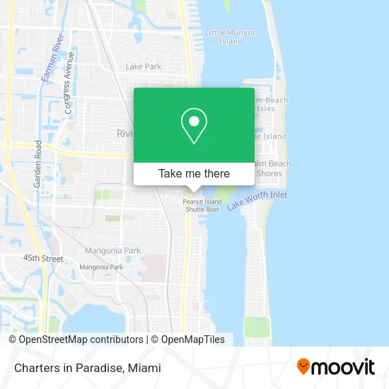
See Charters in Paradise, Riviera Beach, on the map
Public Transit to Charters in Paradise in Riviera Beach
Wondering how to get to Charters in Paradise in Riviera Beach? Moovit helps you find the best way to get to Charters in Paradise with step-by-step directions from the nearest public transit station.
Moovit provides free maps and live directions to help you navigate through your city. View schedules, routes, timetables, and find out how long does it take to get to Charters in Paradise in real time.
Looking for the nearest stop or station to Charters in Paradise? Check out this list of stops closest to your destination: BROADWAY at 12TH ST; Mangonia Park Station; MLK BLVD at B. OBAMA HWY.
Bus: 1, 33.Train: TRIRAIL.
Want to see if there’s another route that gets you there at an earlier time? Moovit helps you find alternative routes or times. Get directions from and directions to Charters in Paradise easily from the Moovit App or Website.
We make riding to Charters in Paradise easy, which is why over 1.5 million users, including users in Riviera Beach, trust Moovit as the best app for public transit. You don’t need to download an individual bus app or train app, Moovit is your all-in-one transit app that helps you find the best bus time or train time available.
For information on prices of bus, costs and ride fares to Charters in Paradise, please check the Moovit app.
Use the app to navigate to popular places including to the airport, hospital, stadium, grocery store, mall, coffee shop, school, college, and university.
Charters in Paradise Address: 1177 Avenue C West Palm Beach, FL 33404 street in Riviera Beach
- Cemex,
- Port of Palm Beach Fl,
- Earl's Slow and Low BBQ LLC,
- Flying Lady Boat Tours,
- Holy Water Fishing,
- Good Mojo Fishing Charters,
- Peanut Island Water Taxi,
- CBP Global Entry Enrollment Center,
- Palm Beach Port Mobil,
- Speech and Learning Institute,
- Law Center,
- Vestec,
- Exxon,
- Holiday Cruise Line (The Best Cruise To the Bahamas),
- TSR,
- Margaritaville at Sea,
- Peanut Island Shutte Boat,
- Valhalla Boat Sales,
- Car Locksmith 19 West Palm Beach,
- US Border Patrol
Places Near Charters in Paradise (Riviera Beach)
- Dolphin Mall, Miami,
- Brickell City Centre, Miami,
- Bayside Marketplace, Miami,
- Miami Freedom Park, Miami,
- Marlins Park, Miami,
- Port of Miami Cruise Terminal, Miami,
- Little Havana, Miami,
- Miami-Dade County Courthouse, Miami,
- Dolphin Mall Bus, Miami,
- Keiser University Flagship Campus, West Palm Beach,
- Sawgrass Mall, Miami,
- Sawgrass mall ( FL ), Miami Beach,
- Richard E. Gerstein Justice Building, Miami,
- Miami VA Hospital, Miami,
- Hard Rock Stadium, Miami Gardens,
- Aventura Mall, Miami Beach,
- Aventura Mall, Miami,
- Miami Design District, Miami,
- Wynwood, Miami,
- Zoo Miami, Miami
How to get to popular places in Miami with public transit
Get around Riviera Beach by public transit!
Traveling around Riviera Beach has never been so easy. See step by step directions as you travel to any attraction, street or major public transit station. View bus and train schedules, arrival times, service alerts and detailed routes on a map, so you know exactly how to get to anywhere in Riviera Beach.
When traveling to any destination around Riviera Beach use Moovit's Live Directions with Get Off Notifications to know exactly where and how far to walk, how long to wait for your line, and how many stops are left. Moovit will alert you when it's time to get off — no need to constantly re-check whether yours is the next stop.
Wondering how to use public transit in Riviera Beach or how to pay for public transit in Riviera Beach? Moovit public transit app can help you navigate your way with public transit easily, and at minimum cost. It includes public transit fees, ticket prices, and costs. Looking for a map of Riviera Beach public transit lines? Moovit public transit app shows all public transit maps in Riviera Beach with all Bus, Train, Light Rail and Ferry routes and stops on an interactive map.
Miami has 4 transit type(s), including: Bus, Train, Light Rail and Ferry, operated by several transit agencies, including Broward County Transit, Miami-Dade Transit, Metrorail, Palm Tran, Tri-Rail, Brightline, MARTY, City of Homestead Trolley, Key West Transit, Treasure Coast Connector, GoLine IRT, Amtrak, Greyhound-us, FlixBus-us and Aventura Express Shuttle Bus