Directions to Cheese To You (Lexington) with public transportation
The following transit lines have routes that pass near Cheese To You
 Bus: VIRGINIA BREEZE, MAURY EXPRESS.
How to get to Cheese To You by bus?
Click on the bus route to see step by step directions with maps, line arrival times and updated time schedules.
From Walmart Supercenter, Fairfax County
386 minFrom Dumfries, VA, Prince William County
411 minFrom IKEA, Prince William County
421 minFrom Wegmans, Prince William County
434 minFrom I-95 Exit 158: Prince William Pkwy, Prince William County
381 minFrom Herndon, Virginia, Fairfax County
323 minFrom Centreville, VA, Fairfax County
342 minFrom The Cheesecake Factory, Fairfax County
343 minFrom Manassas, VA, Manassas
382 min
Bus stop near Cheese To You in Lexington
- Preston Street, 1 min walk,VIEW
Bus lines to Cheese To You in Lexington
- MAURY EXPRESS, Lexington,VIEW
What are the closest stations to Cheese To You?
The closest stations to Cheese To You are:
- Preston Street is 22 yards away, 1 min walk.
Which bus line stops near Cheese To You?
VIRGINIA BREEZE
What’s the nearest bus station to Cheese To You in Lexington?
The nearest bus station to Cheese To You in Lexington is Preston Street. It’s a 1 min walk away.
What time is the first bus to Cheese To You in Lexington?
The MAURY EXPRESS is the first bus that goes to Cheese To You in Lexington. It stops nearby at 8:05 AM.
What time is the last bus to Cheese To You in Lexington?
The MAURY EXPRESS is the last bus that goes to Cheese To You in Lexington. It stops nearby at 5:53 PM.
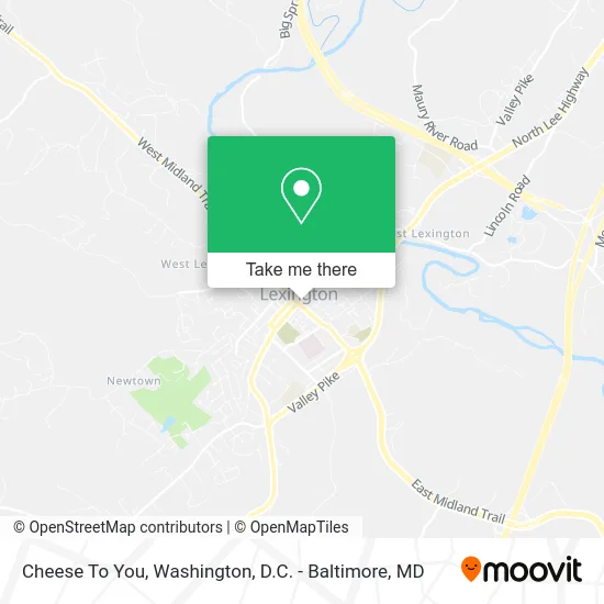
See Cheese To You, Lexington, on the map
Public Transit to Cheese To You in Lexington
Wondering how to get to Cheese To You in Lexington? Moovit helps you find the best way to get to Cheese To You with step-by-step directions from the nearest public transit station.
Moovit provides free maps and live directions to help you navigate through your city. View schedules, routes, timetables, and find out how long does it take to get to Cheese To You in real time.
Looking for the nearest stop or station to Cheese To You? Check out this list of stops closest to your destination: Preston Street.
Bus: VIRGINIA BREEZE, MAURY EXPRESS.
Want to see if there’s another route that gets you there at an earlier time? Moovit helps you find alternative routes or times. Get directions from and directions to Cheese To You easily from the Moovit App or Website.
We make riding to Cheese To You easy, which is why over 1.5 million users, including users in Lexington, trust Moovit as the best app for public transit. You don’t need to download an individual bus app or train app, Moovit is your all-in-one transit app that helps you find the best bus time or train time available.
For information on prices of bus, metro and train, costs and ride fares to Cheese To You, please check the Moovit app.
Use the app to navigate to popular places including to the airport, hospital, stadium, grocery store, mall, coffee shop, school, college, and university.
Cheese To You Address: 32 S Main St Lexington, VA 24450 street in Lexington
- Gladiola Girls Lexington,
- Lexington Jewelers,
- Kara F Braddick,
- Kimberly Hostetter, Realtor,
- Lori Parker,
- Will Moore,
- Gin Hotel Va832,
- Robert E Lee Management,
- Juniper Lounge,
- Blink Charging,
- Ascend Collection,
- Lexington VA Food Tour,
- Robert E Lee Hotel,
- Rocca Bar Ristorante,
- Pronto,
- Gladiola Girls,
- James William Moore Real Estate,
- Cornerstone Bank,
- S&J Mobile Mechanic,
- Skip Thompson's Barber Shop
Places Near Cheese To You (Lexington)
- National Theatre, Washington,
- The Anthem, Washington,
- M&T Bank Stadium, Baltimore,
- Georgetown, Washington,
- Warner Theatre, Washington,
- National Zoo, Washington,
- Basilica of the National Shrine, Washington,
- Capital One Arena, Washington,
- Marriott Marquis Washington, DC, Washington,
- Museum Of The Bible, Washington,
- Sibley Memorial Hospital, Washington,
- Washington DC VA Medical Center, Washington,
- Pennsylvania Ave NW (3rd st and pennsylvania), Washington,
- National Museum of African American History and Culture, Washington,
- Amazon Hq2, Arlington County,
- Rock Creek Tennis Center, Washington,
- PG Mall, Prince George's County,
- Washington National Cathedral, Washington,
- Westfield Montgomery Mall, Montgomery County,
- Camden Yards, Baltimore
How to get to popular places in Washington, D.C. - Baltimore, MD with public transit
Get around Lexington by public transit!
Traveling around Lexington has never been so easy. See step by step directions as you travel to any attraction, street or major public transit station. View bus and train schedules, arrival times, service alerts and detailed routes on a map, so you know exactly how to get to anywhere in Lexington.
When traveling to any destination around Lexington use Moovit's Live Directions with Get Off Notifications to know exactly where and how far to walk, how long to wait for your line, and how many stops are left. Moovit will alert you when it's time to get off — no need to constantly re-check whether yours is the next stop.
Wondering how to use public transit in Lexington or how to pay for public transit in Lexington? Moovit public transit app can help you navigate your way with public transit easily, and at minimum cost. It includes public transit fees, ticket prices, and costs. Looking for a map of Lexington public transit lines? Moovit public transit app shows all public transit maps in Lexington with all Bus, Train, Metro, Light Rail and Ferry routes and stops on an interactive map.
Washington, D.C. - Baltimore, MD has 5 transit type(s), including: Bus, Train, Metro, Light Rail and Ferry, operated by several transit agencies, including WMATA, Montgomery County Ride On, Fairfax Connector, TheBus, PRTC, DASH - Alexandria, Arlington Transit (ART), RTA of Central Maryland, MDOT MTA, MDOT MTA Light RailLink, MDOT MTA Commuter Bus, MDOT MTA Local Bus, FXBGO!, Virginia Railway Express (VRE) and MARC