How to get to Chef Cesart by bus?
Click on the bus route to see step by step directions with maps, line arrival times and updated time schedules.
From Mar a Lago, West Palm Beach
68 minFrom Lake Worth Tri Rail Station, Lake Worth
79 minFrom Forest Hill Community High School, West Palm Beach
59 minFrom Palm Beach State College, Lake Worth
66 minFrom Walmart West Palm Beach Supercenter, West Palm Beach
52 minFrom Lake Worth, FL, Lake Worth
61 minFrom Whispers All Girl Staff, West Palm Beach
55 minFrom John I. Leonard High School, Lake Worth
87 minFrom Greenacres, FL, Lake Worth
86 minFrom West Palm Beach Palm Beach Airport PBI, West Palm Beach
54 min
How to get to Chef Cesart by train?
Click on the train route to see step by step directions with maps, line arrival times and updated time schedules.
Bus stops near Chef Cesart in West Palm Beach
Train stations near Chef Cesart in West Palm Beach
Bus lines to Chef Cesart in West Palm Beach
What are the closest stations to Chef Cesart?
The closest stations to Chef Cesart are:
- DIXIE HWY at 19TH ST is 316 yards away, 4 min walk.
- TAMARIND AVE at 22ND ST is 1002 yards away, 12 min walk.
- West Palm Beach Amtrak Station is 2757 yards away, 33 min walk.
- West Palm Beach Station is 2819 yards away, 34 min walk.
- West Palm Beach is 5378 yards away, 64 min walk.
Which bus line stops near Chef Cesart?
1 (Rt 1 Northbound)
Which train line stops near Chef Cesart?
TRIRAIL (Northbound To Mangonia Park)
What’s the nearest bus station to Chef Cesart in West Palm Beach?
The nearest bus station to Chef Cesart in West Palm Beach is DIXIE HWY at 19TH ST. It’s a 4 min walk away.
What time is the first train to Chef Cesart in West Palm Beach?
The TRIRAIL is the first train that goes to Chef Cesart in West Palm Beach. It stops nearby at 3:50 AM.
What time is the last train to Chef Cesart in West Palm Beach?
The FLORIDIAN is the last train that goes to Chef Cesart in West Palm Beach. It stops nearby at 4:16 PM.
What time is the first bus to Chef Cesart in West Palm Beach?
The 31 is the first bus that goes to Chef Cesart in West Palm Beach. It stops nearby at 5:17 AM.
What time is the last bus to Chef Cesart in West Palm Beach?
The 1 is the last bus that goes to Chef Cesart in West Palm Beach. It stops nearby at 9:56 PM.
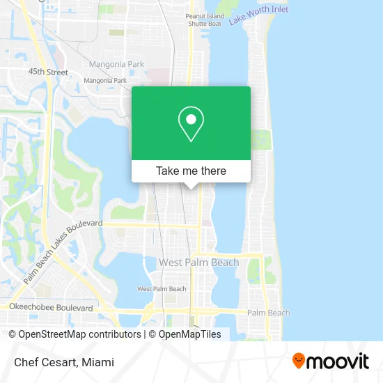
See Chef Cesart, West Palm Beach, on the map
Public Transit to Chef Cesart in West Palm Beach
Wondering how to get to Chef Cesart in West Palm Beach? Moovit helps you find the best way to get to Chef Cesart with step-by-step directions from the nearest public transit station.
Moovit provides free maps and live directions to help you navigate through your city. View schedules, routes, timetables, and find out how long does it take to get to Chef Cesart in real time.
Looking for the nearest stop or station to Chef Cesart? Check out this list of stops closest to your destination: DIXIE HWY at 19TH ST; TAMARIND AVE at 22ND ST; West Palm Beach Amtrak Station; West Palm Beach Station; West Palm Beach.
Bus: 1, 31.Train: TRIRAIL, FLORIDIAN, SILVER METEOR, BLFM.
Want to see if there’s another route that gets you there at an earlier time? Moovit helps you find alternative routes or times. Get directions from and directions to Chef Cesart easily from the Moovit App or Website.
We make riding to Chef Cesart easy, which is why over 1.5 million users, including users in West Palm Beach, trust Moovit as the best app for public transit. You don’t need to download an individual bus app or train app, Moovit is your all-in-one transit app that helps you find the best bus time or train time available.
For information on prices of bus and train, costs and ride fares to Chef Cesart, please check the Moovit app.
Use the app to navigate to popular places including to the airport, hospital, stadium, grocery store, mall, coffee shop, school, college, and university.
Chef Cesart Address: 2055 Spruce Ave West Palm Beach, FL 33407 street in West Palm Beach
- Latasha Conscious Lifestyle,
- Cooking on the Edge,
- Trindy Gourmet,
- TNT Moving and Deliveries,
- Our Lady of Faith Haitian Center,
- Prettyful Lushes Nail Spa Bar,
- House of Zen Palm Beach,
- Ariana Sciences,
- City Printing,
- A Timeless Treasure,
- Palm Studio,
- Ra Jay's,
- Parker Locksmith,
- True Salon,
- Blue Chip Barbershop,
- Cru Lounge,
- Sightcraft Eyecare,
- Mama's Vegan Cocina with A Dominican Flair,
- Rise N Vape Smoke Shop - West Palm Beach,
- Northwood Antiques & Design Palm Beach
Places Near Chef Cesart (West Palm Beach)
- Miami VA Hospital, Miami,
- Port of Miami Cruise Terminal, Miami,
- Brickell City Centre, Miami,
- Miami-Dade County Courthouse, Miami,
- Richard E. Gerstein Justice Building, Miami,
- Zoo Miami, Miami,
- Miami Design District, Miami,
- Hard Rock Stadium, Miami Gardens,
- Sawgrass Mall, Miami,
- Sawgrass mall ( FL ), Miami Beach,
- Keiser University Flagship Campus, West Palm Beach,
- Bayside Marketplace, Miami,
- Wynwood, Miami,
- Dolphin Mall, Miami,
- Miami Freedom Park, Miami,
- Marlins Park, Miami,
- Aventura Mall, Miami Beach,
- Aventura Mall, Miami,
- Little Havana, Miami,
- Dolphin Mall Bus, Miami
How to get to popular places in Miami with public transit
Get around West Palm Beach by public transit!
Traveling around West Palm Beach has never been so easy. See step by step directions as you travel to any attraction, street or major public transit station. View bus and train schedules, arrival times, service alerts and detailed routes on a map, so you know exactly how to get to anywhere in West Palm Beach.
When traveling to any destination around West Palm Beach use Moovit's Live Directions with Get Off Notifications to know exactly where and how far to walk, how long to wait for your line, and how many stops are left. Moovit will alert you when it's time to get off — no need to constantly re-check whether yours is the next stop.
Wondering how to use public transit in West Palm Beach or how to pay for public transit in West Palm Beach? Moovit public transit app can help you navigate your way with public transit easily, and at minimum cost. It includes public transit fees, ticket prices, and costs. Looking for a map of West Palm Beach public transit lines? Moovit public transit app shows all public transit maps in West Palm Beach with all Bus, Train, Light Rail and Ferry routes and stops on an interactive map.
Miami has 4 transit type(s), including: Bus, Train, Light Rail and Ferry, operated by several transit agencies, including Broward County Transit, Miami-Dade Transit, Metrorail, Palm Tran, Tri-Rail, Brightline, MARTY, City of Homestead Trolley, Key West Transit, Treasure Coast Connector, GoLine IRT, Amtrak, Greyhound-us, FlixBus-us and Aventura Express Shuttle Bus