How to get to Chicken Kitchen by bus?
Click on the bus route to see step by step directions with maps, line arrival times and updated time schedules.
From Aventura Mall, Miami Beach
56 minFrom Walmart (Walmart Supercenter Hollywood - State Rd 7), Hollywood
46 minFrom Collins Ave / 80th St, Miami Beach
55 minFrom Omega Maintenance Services, Miramar-Pembroke Pines
78 minFrom Flea Market, Miami
45 minFrom A To Z Marble Restoration, Hollywood
78 minFrom Hard Rock Stadium, Miami Gardens
67 minFrom Fire Cutz Lounge, Miami
56 minFrom Haulover Inlet, Miami Beach
48 minFrom Calder Race Course (Calder Casino), Miami Gardens
61 min
Bus stops near Chicken Kitchen in Miami
Train station near Chicken Kitchen in Miami
- Aventura, 59 min walk,VIEW
Bus lines to Chicken Kitchen in Miami
What are the closest stations to Chicken Kitchen?
The closest stations to Chicken Kitchen are:
- Ne 185 St & Ne 19 Av is 69 yards away, 1 min walk.
- Ne 185 St & Ne 18 Av is 162 yards away, 3 min walk.
- Aventura is 4957 yards away, 59 min walk.
Which bus line stops near Chicken Kitchen?
183 (183 - Okeechobee Station)
What’s the nearest bus station to Chicken Kitchen in Miami?
The nearest bus station to Chicken Kitchen in Miami is Ne 185 St & Ne 19 Av. It’s a 1 min walk away.
What time is the first train to Chicken Kitchen in Miami?
The BLFM is the first train that goes to Chicken Kitchen in Miami. It stops nearby at 6:09 AM.
What time is the last train to Chicken Kitchen in Miami?
The BLFM is the last train that goes to Chicken Kitchen in Miami. It stops nearby at 12:07 AM.
What time is the first bus to Chicken Kitchen in Miami?
The 9 is the first bus that goes to Chicken Kitchen in Miami. It stops nearby at 4:15 AM.
What time is the last bus to Chicken Kitchen in Miami?
The 9 is the last bus that goes to Chicken Kitchen in Miami. It stops nearby at 12:43 AM.
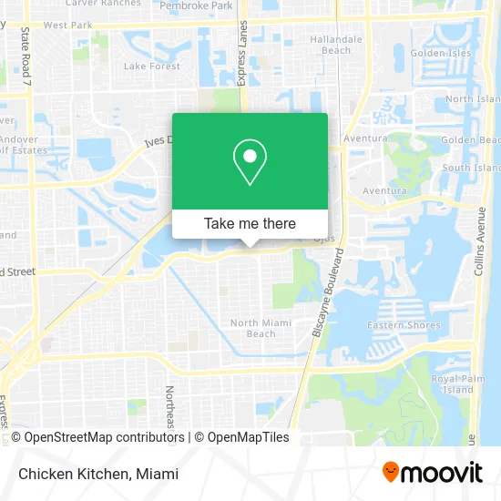
See Chicken Kitchen, Miami, on the map
Public Transit to Chicken Kitchen in Miami
Wondering how to get to Chicken Kitchen in Miami? Moovit helps you find the best way to get to Chicken Kitchen with step-by-step directions from the nearest public transit station.
Moovit provides free maps and live directions to help you navigate through your city. View schedules, routes, timetables, and find out how long does it take to get to Chicken Kitchen in real time.
Looking for the nearest stop or station to Chicken Kitchen? Check out this list of stops closest to your destination: Ne 185 St & Ne 19 Av; Ne 185 St & Ne 18 Av; Aventura.
Bus: 183, 9, 95, 510, NMBEACB.Train: BLFM.
Want to see if there’s another route that gets you there at an earlier time? Moovit helps you find alternative routes or times. Get directions from and directions to Chicken Kitchen easily from the Moovit App or Website.
We make riding to Chicken Kitchen easy, which is why over 1.5 million users, including users in Miami, trust Moovit as the best app for public transit. You don’t need to download an individual bus app or train app, Moovit is your all-in-one transit app that helps you find the best bus time or train time available.
For information on prices of bus, costs and ride fares to Chicken Kitchen, please check the Moovit app.
Use the app to navigate to popular places including to the airport, hospital, stadium, grocery store, mall, coffee shop, school, college, and university.
Chicken Kitchen Address: 18515 NE 18th Ave Miami, FL 33179 street in Miami
- CK at Miami Gardens,
- Dr Eric Schuetz DMD,
- Synovus Bank,
- NE Miami Gardens Dr / NE 18th Ave,
- Drug Rehab North Miami Beach,
- Mne Appliance Repair Services,
- David J. Dreszer, Esq. P.A.,
- National Check & Currency,
- Enercon,
- Fast Time Share Exit,
- Optuno Reviews,
- Screen Media Group Digital Marketing Agency,
- Abraham E. Suburban Jersey Properties,
- Shred Nations,
- Law Office of Yoni Mar,
- Fishing with Lester,
- Skin Care by Erika Beauty,
- Vapors Connect Vape & Smoke,
- GNRL Insurance Group,
- Romy's Shoe Repair 2 (Extra Quick Shoe Repair Two)
Places Near Chicken Kitchen (Miami)
- Marlins Park, Miami,
- Brickell City Centre, Miami,
- Miami Freedom Park, Miami,
- Bayside Marketplace, Miami,
- Miami Design District, Miami,
- Miami VA Hospital, Miami,
- Richard E. Gerstein Justice Building, Miami,
- Little Havana, Miami,
- Aventura Mall, Miami Beach,
- Port of Miami Cruise Terminal, Miami,
- Dolphin Mall Bus, Miami,
- Zoo Miami, Miami,
- Sawgrass mall ( FL ), Miami Beach,
- Dolphin Mall, Miami,
- Keiser University Flagship Campus, West Palm Beach,
- Sawgrass Mall, Miami,
- Aventura Mall, Miami,
- Wynwood, Miami,
- Hard Rock Stadium, Miami Gardens,
- Miami-Dade County Courthouse, Miami
How to get to popular places in Miami with public transit
Get around Miami by public transit!
Traveling around Miami has never been so easy. See step by step directions as you travel to any attraction, street or major public transit station. View bus and train schedules, arrival times, service alerts and detailed routes on a map, so you know exactly how to get to anywhere in Miami.
When traveling to any destination around Miami use Moovit's Live Directions with Get Off Notifications to know exactly where and how far to walk, how long to wait for your line, and how many stops are left. Moovit will alert you when it's time to get off — no need to constantly re-check whether yours is the next stop.
Wondering how to use public transit in Miami or how to pay for public transit in Miami? Moovit public transit app can help you navigate your way with public transit easily, and at minimum cost. It includes public transit fees, ticket prices, and costs. Looking for a map of Miami public transit lines? Moovit public transit app shows all public transit maps in Miami with all Bus, Train, Light Rail and Ferry routes and stops on an interactive map.
Miami has 4 transit type(s), including: Bus, Train, Light Rail and Ferry, operated by several transit agencies, including Broward County Transit, Miami-Dade Transit, Metrorail, Palm Tran, Tri-Rail, Brightline, MARTY, City of Homestead Trolley, Key West Transit, Treasure Coast Connector, GoLine IRT, Amtrak, Greyhound-us, FlixBus-us and Aventura Express Shuttle Bus