How to get to Ching Ching Cha by bus?
Click on the bus route to see step by step directions with maps, line arrival times and updated time schedules.
From Silver Spring, Maryland, Montgomery County
66 minFrom Sheraton Suites Old Town Alexandria, Alexandria
54 minFrom Politics and Prose, Washington
37 minFrom THEARC, Washington
67 minFrom Falls Church, VA, Falls Church
67 minFrom Army-Navy Country Club (ARL), Arlington County
62 minFrom I-295 Exit 1 - Naval Research Lab, Washington
104 minFrom 5454 Wisconsin, Montgomery County
36 minFrom Montgomery College-Takoma Park/Silver Spring, Montgomery County
75 minFrom The Catholic University of America (CUA), Washington
69 min
How to get to Ching Ching Cha by metro?
Click on the metro route to see step by step directions with maps, line arrival times and updated time schedules.
From Silver Spring, Maryland, Montgomery County
57 minFrom Sheraton Suites Old Town Alexandria, Alexandria
53 minFrom Politics and Prose, Washington
56 minFrom THEARC, Washington
59 minFrom Falls Church, VA, Falls Church
61 minFrom 5454 Wisconsin, Montgomery County
50 minFrom Montgomery College-Takoma Park/Silver Spring, Montgomery County
61 minFrom The Catholic University of America (CUA), Washington
47 min
Bus stops near Ching Ching Cha in Washington
Metro stations near Ching Ching Cha in Washington
Bus lines to Ching Ching Cha in Washington
What are the closest stations to Ching Ching Cha?
The closest stations to Ching Ching Cha are:
- M St NW & Wisconsin Ave NW is 130 yards away, 2 min walk.
- Foggy Bottom Gwu Kennedy Center Metro Station is 518 yards away, 7 min walk.
- Q St Nw+Wisconsin Av NW is 795 yards away, 10 min walk.
- Farragut North is 1591 yards away, 19 min walk.
Which bus lines stop near Ching Ching Cha?
These bus lines stop near Ching Ching Cha: A58, D80, D82.
Which metro lines stop near Ching Ching Cha?
These metro lines stop near Ching Ching Cha: BLUE, ORANGE, RED.
What’s the nearest metro station to Ching Ching Cha in Washington?
The nearest metro station to Ching Ching Cha in Washington is Foggy Bottom Gwu Kennedy Center Metro Station. It’s a 7 min walk away.
What’s the nearest bus station to Ching Ching Cha in Washington?
The nearest bus station to Ching Ching Cha in Washington is M St NW & Wisconsin Ave NW. It’s a 2 min walk away.
What time is the first metro to Ching Ching Cha in Washington?
The ORANGE is the first metro that goes to Ching Ching Cha in Washington. It stops nearby at 5:22 AM.
What time is the last metro to Ching Ching Cha in Washington?
The BLUE is the last metro that goes to Ching Ching Cha in Washington. It stops nearby at 12:16 AM.
What time is the first bus to Ching Ching Cha in Washington?
The D80 is the first bus that goes to Ching Ching Cha in Washington. It stops nearby at 3:08 AM.
What time is the last bus to Ching Ching Cha in Washington?
The D80 is the last bus that goes to Ching Ching Cha in Washington. It stops nearby at 3:11 AM.
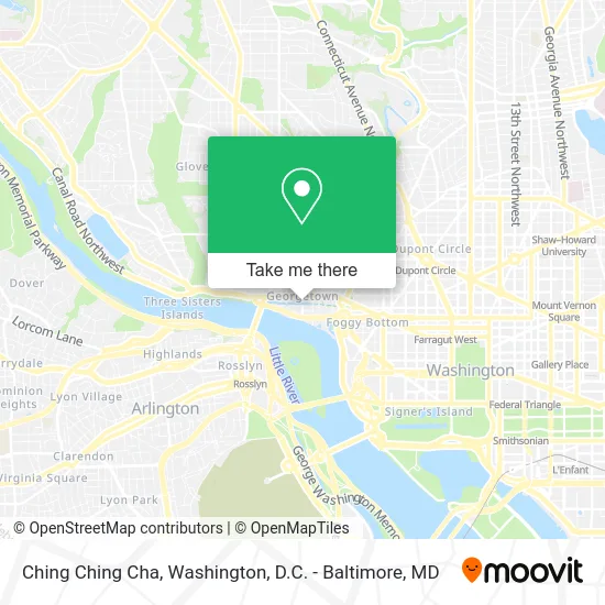
See Ching Ching Cha, Washington, on the map
Public Transit to Ching Ching Cha in Washington
Wondering how to get to Ching Ching Cha in Washington? Moovit helps you find the best way to get to Ching Ching Cha with step-by-step directions from the nearest public transit station.
Moovit provides free maps and live directions to help you navigate through your city. View schedules, routes, timetables, and find out how long does it take to get to Ching Ching Cha in real time.
Looking for the nearest stop or station to Ching Ching Cha? Check out this list of stops closest to your destination: M St NW & Wisconsin Ave NW; Foggy Bottom Gwu Kennedy Center Metro Station; Q St Nw+Wisconsin Av NW; Farragut North.
Bus: A58, D80, D82, C85, C91, D94, D96.Metro: BLUE, ORANGE, RED, SILVER.
Want to see if there’s another route that gets you there at an earlier time? Moovit helps you find alternative routes or times. Get directions from and directions to Ching Ching Cha easily from the Moovit App or Website.
We make riding to Ching Ching Cha easy, which is why over 1.5 million users, including users in Washington, trust Moovit as the best app for public transit. You don’t need to download an individual bus app or train app, Moovit is your all-in-one transit app that helps you find the best bus time or train time available.
For information on prices of bus and metro, costs and ride fares to Ching Ching Cha, please check the Moovit app.
Use the app to navigate to popular places including to the airport, hospital, stadium, grocery store, mall, coffee shop, school, college, and university.
Ching Ching Cha Address: 1063 Wisconsin Ave NW street in Washington
- Filomena Ristorante,
- Wisconsin NW NW C&O Canal Towpath NW,
- Patagonia Store Washington, DC,
- Patagonia Washington DC,
- Blues Alley (Blue's Alley Jazz),
- Safeway,
- Georgetown,
- City Tavern Club,
- SoulCycle Georgetown,
- Bitty & Beau's Coffee,
- Rosewood Washington,
- Royal Thai Embassy,
- Levain Bakery,
- H&M Georgetown,
- Georgetown Psychology,
- Rosewood Washington, D.C. (Rosewood Hotels and Resorts),
- Allbirds,
- Dr. Martens - Georgetown,
- Dr. Martens,
- Rira Irish Pub (Ri Ra Irish Pub)
Places Near Ching Ching Cha (Washington)
- Camden Yards, Baltimore,
- Amazon Hq2, Arlington County,
- PG Mall, Prince George's County,
- Capital One Arena, Washington,
- National Mall, Washington,
- Pennsylvania Ave NW (3rd st and pennsylvania), Washington,
- National Museum of African American History and Culture, Washington,
- Washington National Cathedral, Washington,
- M&T Bank Stadium, Baltimore,
- Museum Of The Bible, Washington,
- The Anthem, Washington,
- Sibley Memorial Hospital, Washington,
- Westfield Montgomery Mall, Montgomery County,
- National Zoo, Washington,
- Rock Creek Tennis Center, Washington,
- Marriott Marquis Washington, DC, Washington,
- Georgetown, Washington,
- Warner Theatre, Washington,
- Washington DC VA Medical Center, Washington,
- Basilica of the National Shrine, Washington
How to get to popular places in Washington, D.C. - Baltimore, MD with public transit
Get around Washington by public transit!
Traveling around Washington has never been so easy. See step by step directions as you travel to any attraction, street or major public transit station. View bus and train schedules, arrival times, service alerts and detailed routes on a map, so you know exactly how to get to anywhere in Washington.
When traveling to any destination around Washington use Moovit's Live Directions with Get Off Notifications to know exactly where and how far to walk, how long to wait for your line, and how many stops are left. Moovit will alert you when it's time to get off — no need to constantly re-check whether yours is the next stop.
Wondering how to use public transit in Washington or how to pay for public transit in Washington? Moovit public transit app can help you navigate your way with public transit easily, and at minimum cost. It includes public transit fees, ticket prices, and costs. Looking for a map of Washington public transit lines? Moovit public transit app shows all public transit maps in Washington with all Bus, Train, Metro, Light Rail and Ferry routes and stops on an interactive map.
Washington, D.C. - Baltimore, MD has 5 transit type(s), including: Bus, Train, Metro, Light Rail and Ferry, operated by several transit agencies, including WMATA, Montgomery County Ride On, Fairfax Connector, TheBus, PRTC, DASH - Alexandria, Arlington Transit (ART), RTA of Central Maryland, MDOT MTA, MDOT MTA Light RailLink, MDOT MTA Commuter Bus, MDOT MTA Local Bus, FXBGO!, Virginia Railway Express (VRE) and MARC