How to get to Christuskirche by bus?
Click on the bus route to see step by step directions with maps, line arrival times and updated time schedules.
How to get to Christuskirche by train?
Click on the train route to see step by step directions with maps, line arrival times and updated time schedules.
From Oh VV, Leutkirch
62 minFrom Action, Gemeindeverwaltungsverband Eislingen-Ottenbach-Salach
103 minFrom Media Markt, Gemeindeverwaltungsverband Eislingen-Ottenbach-Salach
118 minFrom Parkplatz Ratiopharm Arena, Neu-Ulm
50 minFrom Möbel Rieger, Vereinbarte Verwaltungsgemeinschaft Der Stadt Göppingen
106 min
Bus stops near Christuskirche in Illertissen
Train station near Christuskirche in Illertissen
- Illertissen Bahnhof, 20 min walk,VIEW
Bus lines to Christuskirche in Illertissen
- 704, Dietenheim Seniorenzentrum - Illertissen Bahnhof West,VIEW
- 72, Illertissen Bahnhof Bstg 1 - Ulm ZOB Bstg G,VIEW
- 72, Illertissen Bahnhof Bstg 2 - Ulm ZOB Bstg G,VIEW
- RE 75, Ulm Hbf - Kempten (Allgäu) Hbf,VIEW
- RE 75, Ulm Hbf - Oberstdorf,VIEW
- RS 7, Ulm Hbf - Memmingen,VIEW
- 70, Ulm Zob,VIEW
- 716, Kirchberg Rathaus,VIEW
What are the closest stations to Christuskirche?
The closest stations to Christuskirche are:
- Illertissen Bahnhof is 394 meters away, 6 min walk.
- Illertissen Bahnhof West is 394 meters away, 6 min walk.
Which train lines stop near Christuskirche?
These train lines stop near Christuskirche: RE 75, RS 7.
Which bus lines stop near Christuskirche?
These bus lines stop near Christuskirche: 70, 72.
What’s the nearest train station to Christuskirche in Illertissen?
The nearest train station to Christuskirche in Illertissen is Illertissen Bahnhof. It’s a 20 min walk away.
What’s the nearest bus station to Christuskirche in Illertissen?
The nearest bus stations to Christuskirche in Illertissen are Illertissen Bahnhof and Illertissen Bahnhof West. The closest one is a 6 min walk away.
What time is the first train to Christuskirche in Illertissen?
The RS 7 is the first train that goes to Christuskirche in Illertissen. It stops nearby at 4:55 AM.
What time is the last train to Christuskirche in Illertissen?
The RE 75 is the last train that goes to Christuskirche in Illertissen. It stops nearby at 12:49 AM.
What time is the first bus to Christuskirche in Illertissen?
The 72 is the first bus that goes to Christuskirche in Illertissen. It stops nearby at 5:28 AM.
What time is the last bus to Christuskirche in Illertissen?
The 72 is the last bus that goes to Christuskirche in Illertissen. It stops nearby at 1:25 AM.
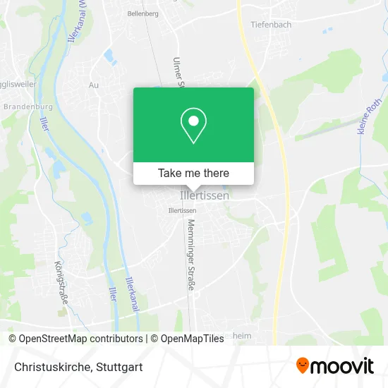
See Christuskirche, Illertissen, on the map
Public Transit to Christuskirche in Illertissen
Wondering how to get to Christuskirche in Illertissen? Moovit helps you find the best way to get to Christuskirche with step-by-step directions from the nearest public transit station.
Moovit provides free maps and live directions to help you navigate through your city. View schedules, routes, timetables, and find out how long does it take to get to Christuskirche in real time.
Looking for the nearest stop or station to Christuskirche? Check out this list of stops closest to your destination: Illertissen Bahnhof; Illertissen Bahnhof West.
Train: RE 75, RS 7, RS7, RE75.Bus: 70, 72, 704, RE 75, RE 75, 716.
Want to see if there’s another route that gets you there at an earlier time? Moovit helps you find alternative routes or times. Get directions from and directions to Christuskirche easily from the Moovit App or Website.
We make riding to Christuskirche easy, which is why over 1.5 million users, including users in Illertissen, trust Moovit as the best app for public transit. You don’t need to download an individual bus app or train app, Moovit is your all-in-one transit app that helps you find the best bus time or train time available.
For information on prices of train and bus, costs and ride fares to Christuskirche, please check the Moovit app.
Use the app to navigate to popular places including to the airport, hospital, stadium, grocery store, mall, coffee shop, school, college, and university.
Christuskirche Address: Ulmer Straße street in Illertissen
- Christuskirche - Evangelisch-Lutherische Kirchengemeinde Illertissen,
- Evang.-Luth. Pfarramt,
- Evangelischer Kindergarten,
- Steinle Agrar,
- Löwen Play,
- Sparkasse Kompetenz-Zentrum,
- Bahnhof,
- Wohnungsbau Illertissen,
- Kroschke,
- Kfz Zulassungen und Kennzeichen Kroschke,
- Merkle K.H.,
- Kfz Handel J. Velic,
- DHL,
- Agip,
- Weikmann Wash Care,
- Aral,
- Aycorp,
- Fondskonzept,
- Xtip Sportwetten - Illertissen,
- Wealthkonzept Vermögensverwaltung
Places Near Christuskirche (Illertissen)
- Mettingen Eros-Center Puff Laufhaus, Esslingen Am Neckar,
- Porsche Museum, Zuffenhausen,
- Hanns-Martin-Schleyer-Halle, Bad Cannstatt,
- SI-Centrum, Möhringen,
- FlixBus Haltestelle, Stuttgart,
- Klinikum Stuttgart - Katharinenhospital, Stuttgart-Mitte,
- Waldfriedhof, Degerloch,
- Pariser Platz Stuttgart, Stuttgart-Mitte,
- Im Wizemann (Halle), Bad Cannstatt,
- Mercedes-Benz Museum (Mercedes Museum Stuttgart), Bad Cannstatt,
- Hanns-Martin-Schleyer-Halle (Stuttgart Hans-Martin-Schleyerhalle), Bad Cannstatt,
- Marmorsaal Im Weissenburgpark, Stuttgart-Süd,
- Porsche-Arena, Bad Cannstatt,
- Wilhelma (U-Bahn Wilhelma), Bad Cannstatt,
- Geilhaus Haus 33a, Reutlingen-Betzingen,
- Gasometer Pforzheim, Pforzheim,
- Gleis 101/102 (tief), Stuttgart-Mitte,
- Schleyerhalle, Bad Cannstatt,
- Hauptbahnhof Stuttgart, Stuttgart-Mitte,
- Mercedes-Benz Museum, Bad Cannstatt
How to get to popular places in Stuttgart with public transit
Get around Illertissen by public transit!
Traveling around Illertissen has never been so easy. See step by step directions as you travel to any attraction, street or major public transit station. View bus and train schedules, arrival times, service alerts and detailed routes on a map, so you know exactly how to get to anywhere in Illertissen.
When traveling to any destination around Illertissen use Moovit's Live Directions with Get Off Notifications to know exactly where and how far to walk, how long to wait for your line, and how many stops are left. Moovit will alert you when it's time to get off — no need to constantly re-check whether yours is the next stop.
Wondering how to use public transit in Illertissen or how to pay for public transit in Illertissen? Moovit public transit app can help you navigate your way with public transit easily, and at minimum cost. It includes public transit fees, ticket prices, and costs. Looking for a map of Illertissen public transit lines? Moovit public transit app shows all public transit maps in Illertissen with all Bus, Train, Subway, Light Rail, Ferry, S-Bahn and Funicular routes and stops on an interactive map.
Stuttgart has 7 transit type(s), including: Bus, Train, Subway, Light Rail, Ferry, S-Bahn and Funicular, operated by several transit agencies, including SSB - Stadtbahn, SSB, SSB - Seilbahn / Zacke, S-Bahn Stuttgart, Rhein-Neckar-Verkehr GmbH (rnv), Karlsruher Verkehrsverbund, DB AG, DB Regiobus BW, Arverio Baden-Württemberg GmbH, DB RegioNetz Verkehrs GmbH Westfrankenbahn, DB Regio AG Baden-Württemberg, Südwestdeutsche Verkehrs-AG, DB Regio AG Mitte Region Hessen, DB and Bodensee-Oberschwaben-Bahn